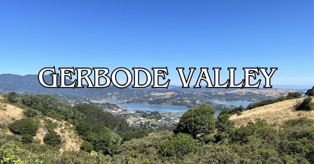
Tucked away in the Marin Headlands, Gerbode Valley offers hikers a much-needed break from city chaos. The five-mile loop trail weaves through rolling grasslands and coastal scrub, with plenty of connections to other paths if you’re feeling adventurous. The terrain isn’t too tough, so most people can handle it, but you’ll still get your heart rate up.
The Gerbode Valley loop usually takes about 2.5 hours and really delivers on the views—think Pacific Ocean, San Francisco Bay, and the surrounding Marin Headlands all at once. The trail rises and falls gently, sometimes ducking under power lines before popping up on ridges with those killer vistas.
Discover hand-picked hotels and vacation homes tailored for every traveler. Skip booking fees and secure your dream stay today with real-time availability!
Browse Accommodations Now
If you’re craving a bigger challenge, start at Wolfback Ridge and tack on a couple more miles for a seven-mile trek. That longer route opens up sweeping looks at Mount Tamalpais and the valley. And the best part? Even though it’s close to San Francisco, Gerbode Valley somehow stays off most people’s radar.
Overview of Gerbode Valley
Gerbode Valley gives you a pristine slice of the Marin Headlands—panoramic views, varied ecosystems, and trails that work for just about any skill level. It’s a low-key gem inside the Golden Gate National Recreation Area, offering both big vistas and some real peace and quiet.
Location and Access
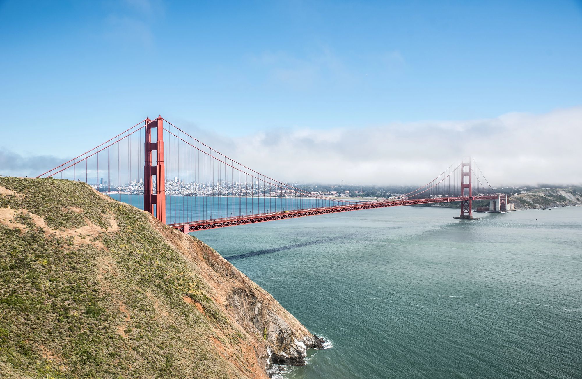
Gerbode Valley sits right in the middle of the Marin Headlands, just north of San Francisco across the Golden Gate Bridge. It’s part of the Golden Gate National Recreation Area (GGNRA), so it’s federally protected. You’ll find several trailheads leading into the valley.
Most people start off Bunker Road, near Rodeo Lagoon. There’s parking at a few lots nearby, but on weekends, they fill up fast. Public transit options are pretty limited, so driving is usually your best bet.
The main loop is five miles, but since the trails connect all over the Headlands, you can easily make your hike shorter or longer depending on how you’re feeling.
History and Conservation Efforts
Gerbode Valley gets its name from Martha Gerbode, a conservationist who fought to save the Headlands. Back in the 1960s, developers had some wild plans for a huge housing project called “Marincello” that would’ve bulldozed this whole area.
Thanks to people like Gerbode and groups like the Golden Gate National Parks Conservancy, those plans got scrapped. The land was bought and folded into the GGNRA in 1972, keeping it safe from development.
Today, conservation work continues—folks are always restoring native plants and battling invasive species. The valley stands as a great example of how local action can keep wild spaces wild, even when development pressure is relentless.
Unique Geographical Features
Gerbode Valley’s landscape is all about rolling hills, chaparral, and grasslands that shift with the seasons. In spring, wildflowers paint the hillsides in bright colors. The trail tops out close to 1,000 feet, so you get incredible views in every direction.
To the west, the Pacific Ocean stretches out forever. Look east and you’ll spot San Francisco Bay and the city skyline—nature and city right next to each other. The gentle slopes mean you don’t have to be a hardcore hiker to enjoy the scenery.
Fog is a regular character here, especially on summer mornings. It rolls in, turning the place a bit magical, and brings much-needed moisture for the plants. Thanks to this microclimate, wildlife thrives—raptors, coyotes, and all sorts of birds call the valley home.
Planning Your Visit
Getting ready for Gerbode Valley isn’t complicated, but knowing a few things about conditions and trail options can make your day a lot better. The valley’s hiking is beautiful, but timing and a little prep go a long way.
Best Times to Visit
Spring (March-May) is hands-down the best. Wildflowers explode across the hills, grass turns neon green, and temps usually hover between 55-70°F—perfect for that five-mile loop.
Fall (September-October) is a close second, with crisp air and clear skies that make the views pop.
If you want solitude, try a weekday. On weekends, show up before 9am if you want a shot at parking. Winter’s quieter, but after rain, the trails get muddy.
Most folks hit the trail in the morning to finish before afternoon winds kick up.
Weather and Fog Considerations
Fog loves to hang around in summer (June-August), especially in the mornings, but usually burns off by afternoon. Dress in layers—temps can swing quickly as the fog shifts.
Typical weather goes like this:
- Morning: Foggy, 50-55°F, especially in summer.
- Afternoon: Usually clearer, 60-75°F depending on the season.
- Wind: Pacific breezes pick up in the afternoon, sometimes pretty strong.
Fog can turn the hike into an atmospheric adventure, but sometimes it hides the big views. Always check the forecast—weather here isn’t always the same as in San Francisco or inland Marin.
Winter brings rain (December-February), so expect slippery trails. Waterproof shoes are a smart move.
Safety and Guidelines
Stick to marked trails to avoid trampling fragile plants. The loop links up with other trails, so grab a map at the Marin Headlands Visitor Center.
Pack the basics:
- 1-2 liters of water per person
- Sunscreen (foggy days can still burn you)
- Sturdy shoes
- Trail map
- First aid kit
Cell service drops out in some spots. Let someone know your plans before you head out.
Keep an eye out for wildlife like coyotes and bobcats. They’re not usually a problem, but it’s smart to give them space. Watch for poison oak too—it pops up along some trail sections.
Parking fills up fast on weekends. Carpool if you can, or get there early.
Getting There
Gerbode Valley isn’t hard to reach, but you’ll wind along some classic Marin roads. Depending on where you’re coming from, there are a few ways in.
Directions from San Francisco
From San Francisco, cross the Golden Gate Bridge northbound on Highway 101. Take the first exit after the bridge (Alexander Avenue). Hang a left at the stop sign, go under the freeway, and the road curves right onto Bunker Road—just follow it into the Headlands.
For the main trailheads, stay on Bunker Road for about 2 miles until you hit the Rodeo Lagoon area. There’s parking near the visitor center.
You can also get there via Conzelman Road—take the last San Francisco exit before the bridge. This way is more scenic, with killer bridge and bay views, then connects you to McCullough Road and back to Bunker Road.
Access via Sausalito and Marin County
From Sausalito, hop on Highway 101 north and take the Alexander Avenue exit. Watch for signs to the Marin Headlands, then turn right onto Bunker Road.
Coming from northern Marin (like Tiburon), head south on 101, exit at the last Sausalito/Marin City exit before the bridge, then follow signs through Sausalito and onto Conzelman Road.
Find the perfect hotel or vacation rental. Instant booking, no fees!
View Top Stays
Rodeo Beach parking is the easiest access point for Gerbode Valley trails, but it fills up fast on weekends. There’s also parking at the visitor center or along Bunker Road where it’s allowed.
Public Transportation Options
Getting here by public transit isn’t easy, but it’s doable. The MUNI 76X Marin Headlands Express runs weekends and holidays from San Francisco into the Headlands, with stops in the area.
On weekdays, your best bet is Golden Gate Transit to Sausalito, then the West Marin Stagecoach (Route 61)—but check schedules, service is limited.
Rideshares can drop you at the trailheads, but cell coverage is spotty, so arrange your pickup ahead of time or stick to areas with good reception.
Biking is a solid choice too. The ride from San Francisco over the Golden Gate Bridge into the Headlands is a favorite for cyclists, and you’ll find bike racks at the main trailheads.
Top Hiking Trails in Gerbode Valley
Gerbode Valley has some fantastic hiking trails with big views of the Headlands, the Pacific, and San Francisco Bay. The network of paths lets you mix and match routes for any mood or skill level.
Miwok Trail
Miwok Trail is one of the main routes through Gerbode Valley. It’s moderately challenging, winding over rolling hills with plenty of spots to stop and soak in the scenery. In spring, the grasslands light up with wildflowers.
This trail connects to others, so you can make your hike as long (or short) as you want. If you’re up for a workout, take Miwok uphill from the valley floor—those views are worth it.
Start at the Tennessee Valley parking lot. Bring water; there’s not much shade. Early mornings are best, especially in summer when the fog lifts by midday.
Bobcat Trail
Bobcat Trail hugs the southern edge of Gerbode Valley and feels a bit more tucked away. It’s a moderate hike through coastal chaparral, with great views across the valley.
The path dips and climbs gently, passing under power lines and then rising again. You’ll walk through native plants and, if you’re lucky, might spot hawks, deer, or even a bobcat.
A popular loop combines Bobcat with Alta Trail for a five-mile circuit—arguably the best way to see the valley’s highlights. On clear days, the western side of Bobcat gives you peeks of the Pacific.
Coastal Trail
The Coastal Trail near Gerbode Valley dishes out dramatic ocean views and links into the main valley trail system. It runs along bluffs high above the Pacific, making it prime sunset territory.
You can hop on the Coastal Trail from connecting routes like Miwok. The terrain shifts from open grassland to more sheltered sections.
For a full experience, try looping the Coastal Trail with Rodeo Lagoon Trail—you’ll get both ocean panoramas and a taste of the wetlands. It’s moderately tough, with a few steep bits, but the scenery makes up for it.
Fog’s a regular guest, especially in summer mornings, so sometimes the hike feels downright mystical. Pack an extra layer—the breeze can be chilly even when the sun’s out.
Nature and Wildlife
Gerbode Valley is a little wildlife haven, with plants and animals thriving year-round. The mix of habitats here means you’ll see something different every season.
Flora: Wildflowers and Eucalyptus Trees
Spring turns the valley into a wildflower wonderland. March through May, you’ll catch orange California poppies, purple lupines, and yellow buttercups scattered across the hillsides. The color against the green grass is unreal.
You’ll also find groves of tall eucalyptus trees—these aren’t native (they came over in the 1800s), but their peeling bark and sharp scent are unmistakable. They offer a bit of shade on some stretches.
In winter, the hills fade to golden brown but still look beautiful in a different way. Native grasses sway in the wind, and tough coastal scrub like coyote brush and sage add texture to the landscape.
Fauna: Harbor Seals and Wildlife Sightings
Birdwatchers will find plenty to love in Gerbode Valley. Keep your eyes up for turkey vultures, osprey, hawks, and even the occasional eagle gliding overhead. California quails shuffle through the trail-edge shrubs, easy to spot with their quirky topknots.
Down by Rodeo Lagoon, there’s a good chance you’ll see harbor seals sprawled on rocks or bobbing in the water. They’re curious but shy, so binoculars come in handy for a closer look without getting too close.
You might also run into:
- Black-tailed deer quietly grazing in the open
- Coyotes prowling around if you’re out early
- Rabbits making quick dashes between the bushes
- Lizards soaking up sun on warm rocks
Animals here are most active at dawn and dusk. If you want to catch them in action, move slowly, keep chatter down, and don’t forget your binoculars.
Nearby Destinations and Scenic Highlights
Gerbode Valley is a great jumping-off point for the rest of Marin County’s wild places. There’s a little bit of everything nearby—beaches, history, and some surprisingly dramatic scenery.
Rodeo Lagoon and Rodeo Beach
Just minutes away, Rodeo Lagoon draws all sorts of birds year-round, so bring those binoculars again—herons, egrets, and waterfowl are regulars.
Rodeo Beach stands out for its colorful pebbles—jasper, carnelian, jade—scattered among the stones. They’re fun to hunt for, but don’t get greedy; collection rules are strict.
The beach gives you wide-open views of the Marin Headlands cliffs. Foggy days make it feel otherworldly, while clear days sometimes reveal the Farallon Islands way out at sea.
Swimming isn’t safe here (those currents are no joke), but it’s a fantastic spot for a picnic, walking your dog (leash-free in certain areas), or catching a sunset with your camera.
Marin Headlands
The Marin Headlands wrap around Gerbode Valley with rugged cliffs and rolling hills. In spring, wildflowers pop up everywhere, and the ocean feels close enough to touch.
Battery Spencer draws crowds for its classic Golden Gate Bridge view—honestly, it’s worth the hype.
Trails crisscross the hills, from mellow stretches of the Coastal Trail to the tougher climb up Hawk Hill. The ocean views from up there? Pretty unbeatable.
Wildlife is everywhere: deer, coyotes, rabbits, and if you’re lucky, you might catch gray whales migrating January through May. Early mornings or late afternoons are quieter and the light is just better for photos.
Luxury stays to cozy cottages await, all with instant booking. Find the best deals!
Browse Marin Stays
Tennessee Valley and Muir Beach
The Tennessee Valley Trail is a mostly flat, 3.4-mile round trip to a tucked-away beach cove. Early risers sometimes spot bobcats or deer along the way.
Muir Beach, just up the road, is easier to access and family-friendly, with restrooms and picnic tables. The golden sand cove is a favorite for a reason.
If you want a killer view with zero hiking, the Muir Beach Overlook delivers. On clear days, you can see all the way to Point Reyes.
Green Gulch Farm, right nearby, offers garden tours and Sunday morning meditation if you’re after something a little different.
Both spots fill up fast on weekends. If you can, go on a weekday or get there before 9 AM for some peace.
Historic Military Sites
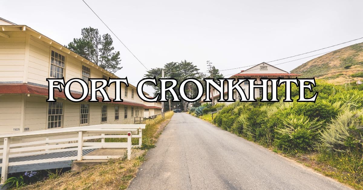
Fort Cronkhite lets you step into World War II military history, with barracks and bunkers that still look pretty much like they did decades ago. The visitor center has detailed exhibits about the fort’s role in defending the coast.
Battery Townsley, a massive gun battery, opens up for tours the first Sunday each month. Inside, you’ll find the old concrete rooms that once held guns big enough to launch 2,100-pound shells.
Hill 88, perched above Rodeo Beach, mixes military ruins with some of the best views around. The hike up is a bit of a grind, but you get 360-degree panoramas at the top.
If you’re interested in the area’s military past, these sites are a must. Most buildings are still standing, so it’s easy to imagine what life was like back then.
Start at the Marin Headlands Visitor Center for maps and the latest tour info.
Camping and Overnight Stays
Want to sleep under the stars? Gerbode Valley has a few good options for overnight stays. The valley shelters you from the wind and the views are tough to beat.
Campsites in and Around Gerbode Valley
Hawk Camp Campground is your best bet close to Gerbode Valley. It sits up above the valley, so you get sweeping views and a bit of wind protection. For the best mix of shade, aim for sites #2, #6, #7, or #11.
Every site comes with:
- Fire rings (but always check for fire restrictions)
- Pit toilets nearby
- Easy trail access
- Natural windbreaks
If you want something different, Samuel P. Taylor State Park is a short drive away and offers camping in the redwoods. The deep shade and forest vibe make it feel like another world.
Guidelines for Overnight Visitors
You’ll need a reservation for any campsite—these fill up fast in summer and on weekends, so plan ahead. The National Park Service handles Hawk Camp bookings.
Don’t forget:
- Water: There’s no drinking water at the campsites
- Food storage: Bring proper containers to keep wildlife out
- Weather gear: Fog and wind can roll in unexpectedly
- Lighting: Nights get seriously dark
Leave No Trace is the rule here. Pack out everything, keep noise down (quiet hours are usually 10 PM to 6 AM), and respect the wildlife and other campers.
Tips for an Enjoyable Experience
Gerbode Valley is a goldmine for photos and family outings. The landscape is so varied, you’ll find something new every time you visit.
Photography and Scenic Viewpoints
There are several can’t-miss viewpoints in Gerbode Valley. The rolling hills make natural frames for landscape shots, especially during golden hour—just before sunset is magic.
If you climb up Bobcat Trail, you’ll get panoramic views of the Pacific. Late afternoons are best when shadows stretch across the hills.
Some trails wind through tree tunnels—bring a wide-angle lens to really capture those cool green corridors.
For wildlife photography, early morning is your friend. Birds are everywhere and, with luck, maybe a bobcat. A zoom lens and a quiet step help a lot.
Family-Friendly Activities
The Gerbode Valley loop is perfect for families who like a little adventure. It’s 5.3 miles, usually around 2.5 hours if you take your time with kids.
Kick things off at the Smith Parking Lot, right across from The Presidio Riding Club—easy access and bathrooms nearby.
Food and water are a must; there’s nowhere to buy anything once you’re out there. A picnic halfway makes a nice break.
Binoculars make birdwatching more fun for kids. Spring brings wildflowers, which is always a hit.
If you want to keep younger kids engaged, try a nature scavenger hunt along the way. It’s a simple trick, but it works.
Exploring Beyond Gerbode Valley
Gerbode Valley is just the start—Marin County and the Bay Area have so much more to explore. From ancient redwoods to wild coastlines, it’s all within a short drive.
Muir Woods National Monument
Muir Woods is about 20 minutes away and protects some of the last old-growth coastal redwoods in the Bay Area. These giants shoot up over 250 feet and some have been around for a thousand years.
You’ll need to reserve parking or a shuttle on recreation.gov. The main trail is a flat, 2-mile loop along Redwood Creek, so anyone can do it.
If you’re feeling energetic, try the Bootjack or Ben Johnson trails—they climb up into Mount Tamalpais State Park and connect to the Dipsea Trail for a 7-mile loop with big elevation changes.
Weekday mornings or late afternoons are best to avoid crowds. It’s always cool and a bit damp under the trees, so bring a jacket.
Point Reyes and North Marin
Point Reyes National Seashore is about 30 miles north and feels like another planet. There are over 150 miles of trails through everything from beaches to forests to open grassland.
Don’t miss:
- Lighthouse Point: 300 steps down for epic ocean views
- Chimney Rock: Wildflowers in spring, elephant seals in winter
- Tomales Point: 9.5-mile hike with tule elk herds
- Alamere Falls: One of the rare waterfalls that drops right onto the beach
Barnabe Peak in Samuel P. Taylor State Park has a great summit view at 1,466 feet. For more wildlife, check out the Tule Elk Reserve or Limantour Beach for shorebirds.
Pop into Point Reyes Station for local cheese at Cowgirl Creamery or fresh oysters from Tomales Bay. It’s worth the stop.
Golden Gate and San Francisco Sites
Cross the Golden Gate Bridge and you’re right by San Francisco’s best outdoor spots.
The Presidio, once a military base, is now a park with:
- Crissy Field’s wetlands and bridge views
- Baker Beach for classic bridge photos
- Batteries to Bluffs Trail along the coast
- Lobos Creek, the city’s last wild creek
Ocean Beach runs for 3.5 miles along the city’s west side. The Sutro Baths ruins nearby are a strange, fascinating glimpse into San Francisco’s past.
Back on the Marin side, Fort Baker and Kirby Cove have unique Golden Gate views. The Point Bonita Lighthouse, reached by a suspension bridge, is open for tours Sundays and Mondays. Don’t miss it if you’re into lighthouses or just want a wild view.
Other Bay Area Natural Attractions
If you’re itching to get out of the city, there’s no shortage of natural spots that’ll grab your attention.
Peninsula Gems:
- Ring Mountain (Tiburon): Uncommon wildflowers and sweeping bay views
- Milagra Ridge (Pacifica): Home to endangered butterflies, with ocean panoramas that’ll make you linger
- Devil’s Slide (Pacifica): This old highway’s now a scenic trail—honestly, the cliffs and sea air are worth the stop
- Mori Point (Pacifica): Coastal bluffs, and when the wildflowers are out, it’s just plain gorgeous
East Bay Highlights:
- China Camp State Park: Salt marshes, plus the remnants of an old Chinese fishing village that whisper stories if you listen
- Deer Park (Fairfax): Quiet trails that connect right into the bigger Mt. Tam network—great if you want to wander
Glen Canyon Park somehow tucks a real slice of wilderness right into San Francisco. There’s a deep ravine, native plants everywhere, and Islais Creek—one of the city’s rare aboveground streams—carving through it all.
Richardson Bay’s a haven for birds and kayakers alike. If you’re feeling adventurous, you can rent a kayak in Sausalito and paddle through the protected water, maybe even join a guided tour if you’re not sure where to go.
Find available hotels and vacation homes instantly. No fees, best rates guaranteed!
Check Availability Now
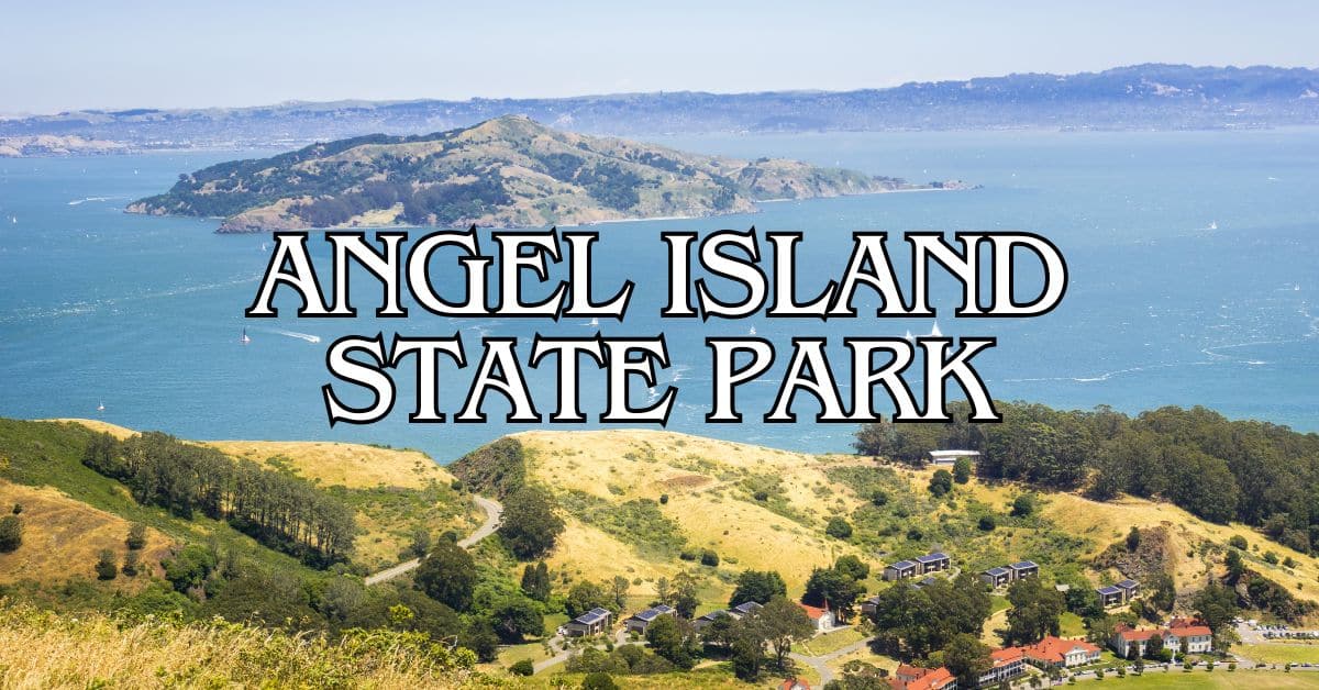
Angel Island State Park Travel Guide – Accessibility, Amenities, Activities, and More!
Aramburu Island Travel Guide – Accessibility, Amenities, Activities, and More!
Blackie’s Pasture Travel Guide – Accessibility, Amenities, Activities, and More!
Fort Cronkhite Travel Guide – Accessibility, Amenities, Activities, and More!
Gerbode Valley Travel Guide – Accessibility, Amenities, Activities, and More!
Golden Gate National Recreation Area Travel Guide – Accessibility, Amenities, Activities, and More!
Hawk Hill Travel Guide – Accessibility, Amenities, Activities, and More!
Marin Headlands Travel Guide – Accessibility, Amenities, Activities, and More!
Old Saint Hilary’s Preserve Travel Guide – Accessibility, Amenities, Activities, and More!
Paradise Beach Park Travel Guide – Accessibility, Amenities, Activities, and More!
Point Bonita Travel Guide – Accessibility, Amenities, Activities, and More!
Tiburon Ridge Preserve Travel Guide – Accessibility, Amenities, Activities, and More!
Tiburon Uplands Travel Guide – Accessibility, Amenities, Activities, and More!


