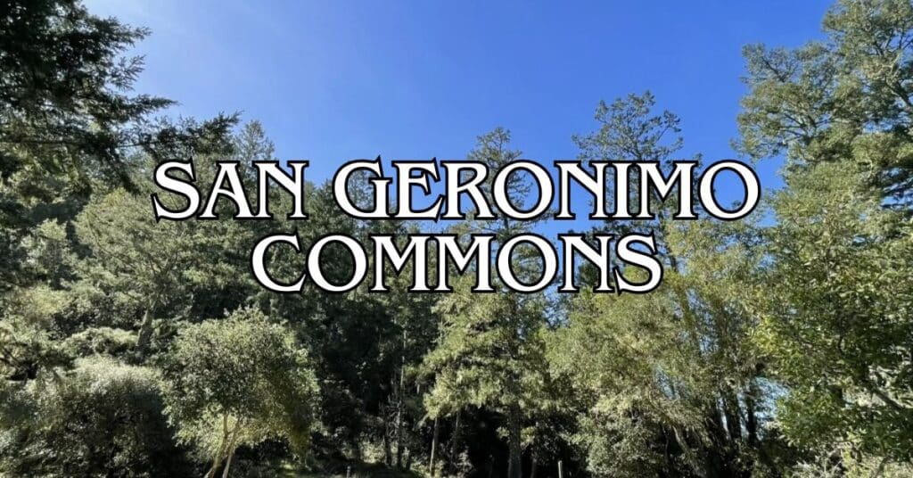
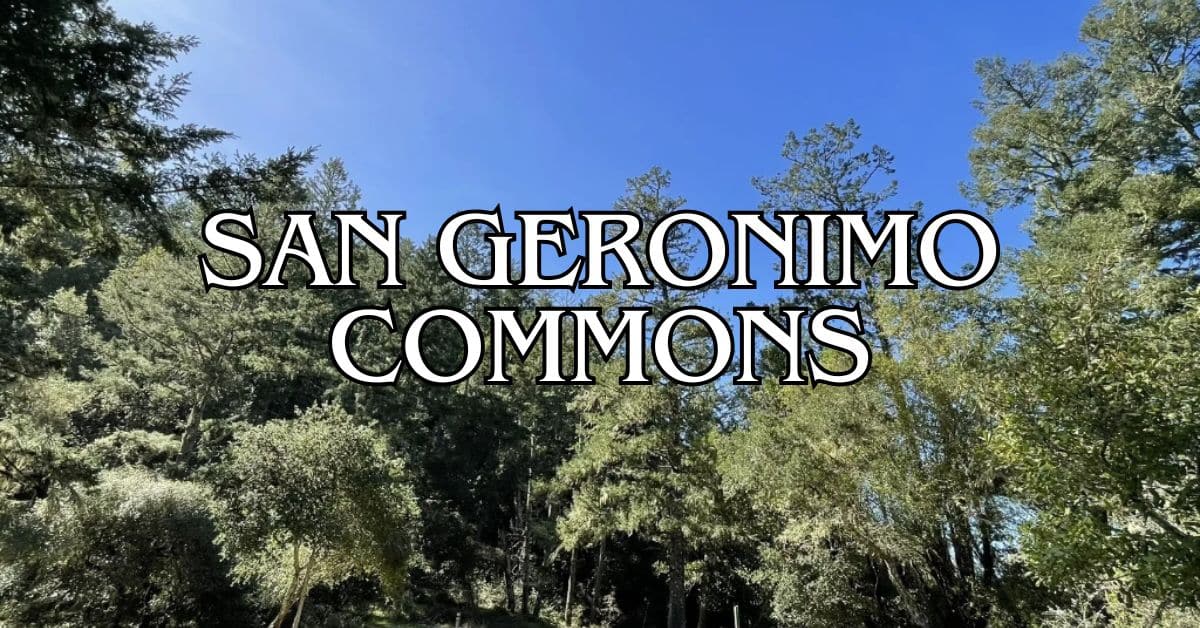
Tucked away in Marin County, San Geronimo Commons sprawls across 157 acres of natural beauty, just begging for a wander. This public open space is packed with scenic trails, a patchwork of ecosystems, and peaceful meadows that really show off Northern California’s wild side. It’s a go-to for locals and visitors who want easy hiking, mellow biking, or just a sunny spot for a picnic or some casual wildlife watching.
What’s cool about San Geronimo is how it’s changed over time. It used to be a golf course, but now nature’s taking it back. You’ll spot handy features like parking, a community garden, and the old clubhouse—kind of a nod to its former life.
Discover hand-picked hotels and vacation homes tailored for every traveler. Skip booking fees and secure your dream stay today with real-time availability!
Browse Accommodations Now
If you visit, stretch your legs on the 1.2-mile loop trail. Most people finish it in under half an hour, so it’s pretty manageable for families or anyone who just wants a quick dose of fresh air. Depending on the season, you’ll get everything from spring wildflowers to those moody winter skies that Marin does so well.
Overview of San Geronimo Commons
San Geronimo Commons has shifted from golf greens to a public haven for anyone who wants a slice of Marin’s outdoors. Trails wind through wildlife habitats and community resources—it’s a patchwork of old and new.
Location and Accessibility
You’ll find San Geronimo Commons in the San Geronimo Valley, about half an hour northwest of San Francisco. The main entrance is off Sir Francis Drake Boulevard, close to San Geronimo Valley Road.
The land covers meadows, creeks, and woods—all on what used to be the golf course. There’s a good-sized parking lot by the clubhouse, but public transit is pretty limited, so most people just drive.
Trails here link up with other open spaces in Marin, so it’s a handy jumping-off point if you want to see more. The land is mostly flat, so folks of different abilities can get around without too much trouble.
History and Background
San Geronimo Commons started out as a golf course, but the Trust for Public Land bought it and turned it into public land. That move protected the watershed and opened up new space for everyone.
San Geronimo and Larsen Creeks run through the property, which sits in the upper Lagunitas Creek watershed. These creeks matter—a lot. Endangered coho salmon live here, along with all sorts of other wildlife.
Now, hiking and biking trails cut through what used to be fairways. A conservation easement keeps the creeks and nearby areas safe for animals and plants.
The old clubhouse still stands and hosts community gatherings. There’s talk of building a new fire station too. Down in the meadow below the clubhouse, you’ll sometimes find community events.
Population and Demographics
San Geronimo is a small, unincorporated spot with around 2,000 folks scattered across the valley. Most people here are middle to upper-middle class, a mix of longtime locals and newer arrivals.
A lot of residents picked this area for its rural vibe and easy access to the outdoors. People here tend to care about the environment—just look at how the community backed turning the golf course into protected land.
If you visit, you’ll see locals out with their dogs, families soaking up the scenery, and plenty of outdoor lovers. The community garden is a real sign of how much people here value sustainability and coming together.
The population skews a bit older than the Marin County average, with lots of folks in their 40s to 60s. There aren’t as many young families as in some other areas, but there’s a strong sense of local pride.
Key Attractions at San Geronimo Commons
San Geronimo Commons gives you a bunch of ways to get outside and enjoy Marin’s scenery. The former golf course is now a mix of open land, restored habitats, and community hangouts.
Highlights of the Golf Course
Walking paths now snake through what used to be fairways and greens. The land still has that open, manicured look in places, so you get big views across the valley.
The clubhouse is still up and running as a community hub. The gentle rolling terrain is a holdover from its golfing days.
Since it became public land, native plants have started to reclaim some spots. It’s a neat contrast—some areas still look like a golf course, while others are slowly turning wild again.
Walking Trails and Nature Areas
Several easy paths crisscross the Commons, good for all ages and abilities. There’s a paved trail that links up with the Tocaloma bridge area, so accessibility isn’t too bad.
Keep an eye out for seasonal wetlands where birds and other wildlife hang out. Spring brings wildflowers, and winter sometimes floods the land with little streams. Birdwatchers get a treat all year—different species drop by as the seasons change.
The weather’s usually mild, with foggy mornings that burn off by midday. Definitely bring layers; it can swing from chilly to warm pretty fast. Trails offer a mix of sunny stretches and shady spots under big native trees.
Find the perfect hotel or vacation rental. Instant booking, no fees!
View Top Stays
Community Events and Gatherings
The community garden is a lively spot where locals work their plots and swap gardening stories. Visitors are welcome to take a look and see what’s growing.
During summer, the meadow below the clubhouse sometimes fills up with farmers markets, music, or community parties. The parking lot can handle a bigger crowd if there’s an event going on.
There’s also a plan to build a new fire station, so the Commons keeps evolving. Events often tap into the area’s farming roots—check local listings to see what’s happening when you’re in town.
Getting To and Around San Geronimo Commons
It’s pretty straightforward to get to San Geronimo Commons, and parking’s easy. The 157-acre property has clear entry points and sits close to other cool spots in Marin.
Driving Directions and Major Roads
Sir Francis Drake Boulevard is your main route in. The Commons sits at 5800 Sir Francis Drake Boulevard, San Geronimo. This road cuts right through Marin and leads straight to the property.
Coming from Fairfax? Just head northwest on Sir Francis Drake for about 8 miles. You’ll see the parking lot from the road. Any regular car can handle the drive, though the roads wind a bit.
Parking tip: Stick to the Commons’ parking lot. Don’t park on West Nicasio Road—that’s private property.
Nearby Towns and Areas of Interest
San Geronimo Commons is right in the heart of the valley, surrounded by:
- Woodacre: 5 minutes east
- Fairfax: 15 minutes east, lots of energy and local spots
- Point Reyes: 20 minutes west, if you want the coast
- Sausalito: 30 minutes south, famous for waterfront views
The location makes it a great base for checking out Marin’s trails, restaurants, or those redwood groves everyone talks about.
Transportation Options
Having a car makes things easier, but there are a few other ways to get here:
Public Transit:
- Marin Transit runs limited buses out to the valley
- Route 68 links San Rafael and the Valley, with stops near the Commons
Cycling: Plenty of cyclists use Sir Francis Drake Boulevard, but heads up—it can get busy with cars.
If you’re staying nearby, rideshare apps like Uber and Lyft do operate here, though you might wait longer than in the city.
Visitor Experience and Amenities
San Geronimo Commons has a handful of amenities to make your visit comfortable. The old golf course is now a public space with enough facilities for a solid day out.
Dining and Shopping
You won’t find many food or shopping options right at the Commons. The clubhouse sometimes hosts events with food, but for a real meal, you’ll want to check out nearby towns.
The San Geronimo Valley Store is about five minutes away and has basics—groceries, snacks, and some prepared food.
For more choices, Fairfax and Point Reyes Station are both a quick drive and have plenty of restaurants. Definitely pack snacks and water if you plan to be out on the trails for a while.
In summer, local farmers’ markets sometimes pop up at the Commons, selling fresh produce and handmade goods from Marin vendors.
Accessibility and Facilities
There’s a decent-sized parking lot by the clubhouse. Restrooms are available in the clubhouse during regular hours (usually 9am–5pm).
Some paths, especially around the clubhouse and garden, are accessible, but not all trails are smooth—meadow areas can get bumpy.
The community garden has shaded benches if you need a break. Water fountains are near the clubhouse and parking area.
Onsite Facilities:
- Clubhouse restrooms
- Picnic tables in certain spots
- Water fountains
- Community garden (members only, but worth a look)
- Parking for about 50 cars
If you’ve got kids with you, note that there’s not much playground equipment, but the open fields are great for running around.
Luxury stays to cozy cottages await, all with instant booking. Find the best deals!
Browse Marin Stays
Safety and Emergency Services
The county plans to build a new fire station here, which should help with emergency response. For now, the closest fire station is in Woodacre, about five minutes away.
Cell coverage is usually decent, though you might lose bars in some wooded spots. Download maps before heading into the far corners, just in case.
If there’s a medical emergency, the local fire department can provide first aid until more help arrives.
Emergency Contacts:
- Nearest hospital: MarinHealth Medical Center (about 25 minutes by car)
- Poison Control: 1-800-222-1222
- Emergencies: 911
Weather can shift quickly. Bring layers, and check the forecast—especially in winter, when trails can get muddy fast.
Natural Environment and Climate Insights
San Geronimo Commons is a bit of an ecological experiment—old fairways slowly turning wild again. The 157 acres give you a real taste of Marin’s climate and natural quirks, so it’s smart to know what to expect before you go.
Local Climate and Weather Patterns
Marin County’s got that classic Mediterranean climate—wet winters, dry summers. At San Geronimo Commons, temps stay pretty mild all year. Summers usually hit 75–85°F (24–29°C), and even in winter, it rarely drops below 40°F (4°C).
The valley often wakes up under a blanket of fog in summer, but by mid-morning, it usually clears out, leaving perfect weather for hiking or biking.
Fall (September–November) is probably the best bet for warm, clear days. Winter (December–February) is the rainy season, which turns everything lush and green but can make some trails sloppy. Spring brings a riot of wildflowers across the old fairways.
No matter when you visit, pack a few layers. Mornings can be chilly, afternoons warm, and the weather can change on a dime.
Air Quality and Outdoor Safety
Air quality at San Geronimo Commons is usually excellent, thanks to its coastal breezes and its distance from busy city centers. The ongoing rewilding efforts are helping create a more “climate-resilient ecosystem,” which just keeps making environmental conditions better.
While you’re out there, keep an eye on a few things:
- Fire season safety (June-October, usually): Check the local fire danger ratings before heading out.
- Trail conditions: Some of the old golf cart paths are still being converted, so expect a few uneven spots.
- Sun exposure: Shade is pretty limited in some areas—definitely bring your hat and sunscreen.
- Wildlife encounters: Rewilding has boosted biodiversity. Give animals their space and respect their habitats.
Wildfire season can really mess with air quality. If you’re planning a visit between July and October, it’s smart to check AirNow.gov for Marin County’s latest air conditions.
San Geronimo Commons is a pretty cool spot to see climate adaptation in action—restoration projects here have improved water quality and stream flows, which is good news for both people and wildlife.
Exploring San Geronimo and Surrounding Areas
San Geronimo works well as a home base if you want to explore Marin County’s mix of attractions. It’s close to lots of charming towns and outdoor adventures.
Day Trips from San Geronimo Commons
Fairfax is just a quick 15-minute drive east and makes for a fun little day trip. It’s got quirky shops, organic cafes, and a relaxed vibe. If you’re into ice cream, Fairfax Scoop is worth a stop.
Head 30 minutes south to Sausalito for waterfront dining and art galleries. You’ll get some great views of the Bay and can wander through the historic downtown. The houseboats up north are a sight—people really do live there, and it’s got its own kind of magic.
If you’re up for something bigger, you can cross the Golden Gate Bridge into San Francisco. The iconic bridge is about 40 minutes from San Geronimo. There’s Fisherman’s Wharf, Golden Gate Park, and neighborhoods like Chinatown and North Beach—honestly, you could spend days just wandering.
Regional Outdoor and Cultural Activities
Hiking trails are everywhere around San Geronimo. Point Reyes National Seashore sits just 20 minutes west and offers coastal trails, wildlife, and, in winter or spring, maybe even migrating whales near the lighthouse.
If you’re in the mood for culture, the Oakland Museum of California is about an hour away. It’s got California art, history, and a bunch of exhibits that are actually pretty engaging.
Water lovers have plenty of options along Marin’s coast. Try kayaking in Tomales Bay, surfing at Stinson Beach, or even sailing lessons in the Bay—there’s always something going on.
Muir Woods National Monument, with its towering coastal redwoods, is about 25 minutes from San Geronimo. Try to get there early; it fills up fast, and the quiet mornings are the best.
Historical Context and Local Industries
San Geronimo Commons sits in a valley with a long, layered history—indigenous settlements, military chapters, and a mix of industries have all left their mark. The area’s story really weaves together natural resources and a bit of strategic significance.
Significance of the U.S. Army and Community Role
The U.S. Army shaped San Geronimo Valley in some unexpected ways. During World War II, military installations popped up all over Marin County, including training sites near what’s now San Geronimo Commons. All that activity brought new roads, utilities, and, not surprisingly, a population boom.
A lot of veterans ended up staying after the war, giving the valley its unique community feel. The infrastructure the military built—roads, utilities—ended up serving everyone who came later.
Locals eventually banded together in community groups to push back against overdevelopment, working to keep the natural landscape that makes the Commons what it is today.
Economy and Prominent Industries
San Geronimo Valley’s economy has changed a lot over the years. Back in the late 1800s, loggers cut down the thick redwood forests that blanketed the hills, keeping the local sawmills busy.
After that, ranching and farming took over. The valley’s rich soil made it a good spot for dairy farms, cattle, and crops—enough to keep local families going for generations.
These days, things look different. Tourism is a big deal now, with people coming to enjoy the scenery and all the outdoor stuff at San Geronimo Commons.
You’ll find a mix of small businesses, freelancers working from home, and folks who commute to bigger towns in Marin. The way San Geronimo Commons has been preserved says a lot about what matters here—balancing the area’s natural beauty with the old-school industries that still hang on.
Find available hotels and vacation homes instantly. No fees, best rates guaranteed!
Check Availability Now
Bolinas Lagoon Preserve Travel Guide – Accessibility, Amenities, Activities, and More!
Bolinas Park Travel Guide – Accessibility, Amenities, Activities, and More!
Dias Ridge Travel Guide – Accessibility, Amenities, Activities, and More!
Forest Knolls Park Travel Guide – Accessibility, Amenities, Activities, and More!
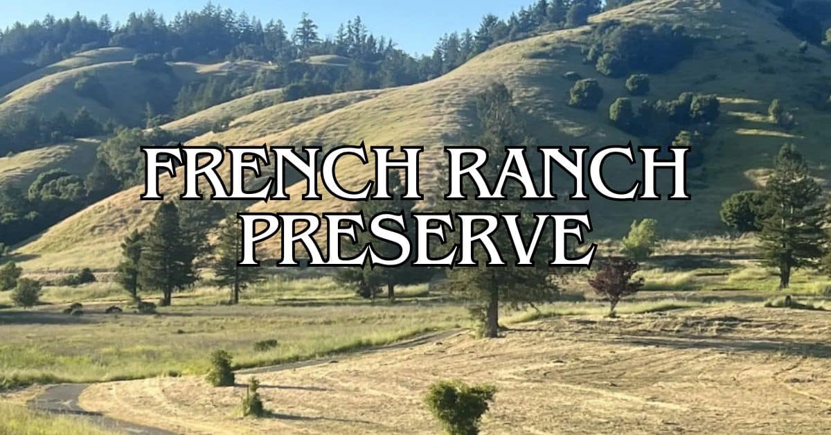
French Ranch Preserve Travel Guide – Accessibility, Amenities, Activities, and More!
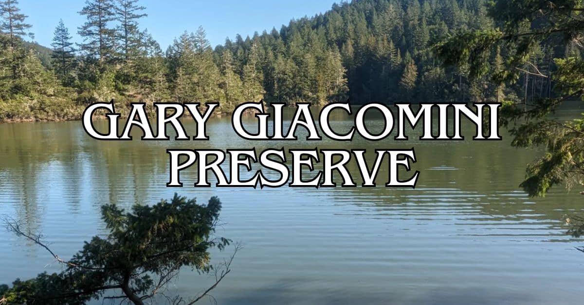
Gary Giacomini Preserve Travel Guide – Accessibility, Amenities, Activities, and More!
Lagunitas Skatepark Travel Guide – Accessibility, Amenities, Activities, and More!
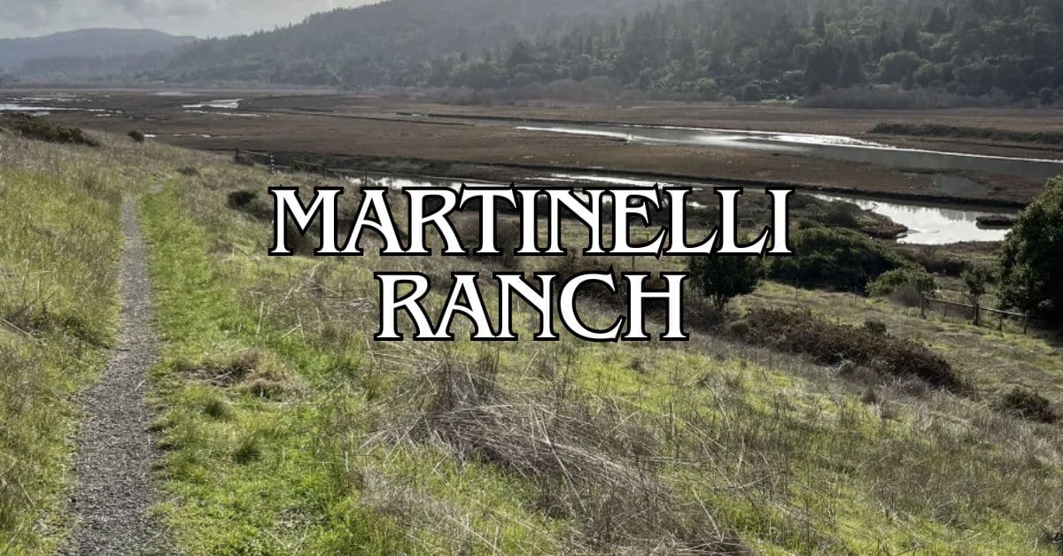
Martinelli Ranch Travel Guide – Accessibility, Amenities, Activities, and More!
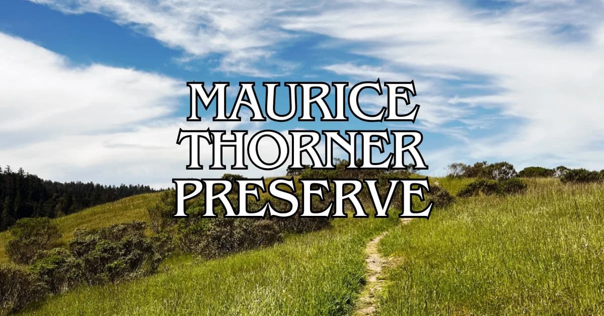
Maurice Thorner Preserve Travel Guide – Accessibility, Amenities, Activities, and More!
Miller Boat Launch Travel Guide – Accessibility, Amenities, Activities, and More!
Olema Valley Travel Guide – Accessibility, Amenities, Activities, and More!
Point Reyes National Seashore Travel Guide – Accessibility, Amenities, Activities, and More!
Rocky Point Travel Guide – Accessibility, Amenities, Activities, and More!
Roy’s Redwoods Preserve Travel Guide – Accessibility, Amenities, Activities, and More!
Samuel P. Taylor State Park Travel Guide – Accessibility, Amenities, Activities, and More!
San Geronimo Commons Travel Guide – Accessibility, Amenities, Activities, and More!
Tomales Bay State Park Travel Guide – Accessibility, Amenities, Activities, and More!
Upton Beach Travel Guide – Accessibility, Amenities, Activities, and More!
Village Green Park Travel Guide – Accessibility, Amenities, Activities, and More!
Whitehouse Pool Park Travel Guide – Accessibility, Amenities, Activities, and More!


