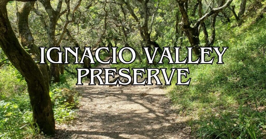
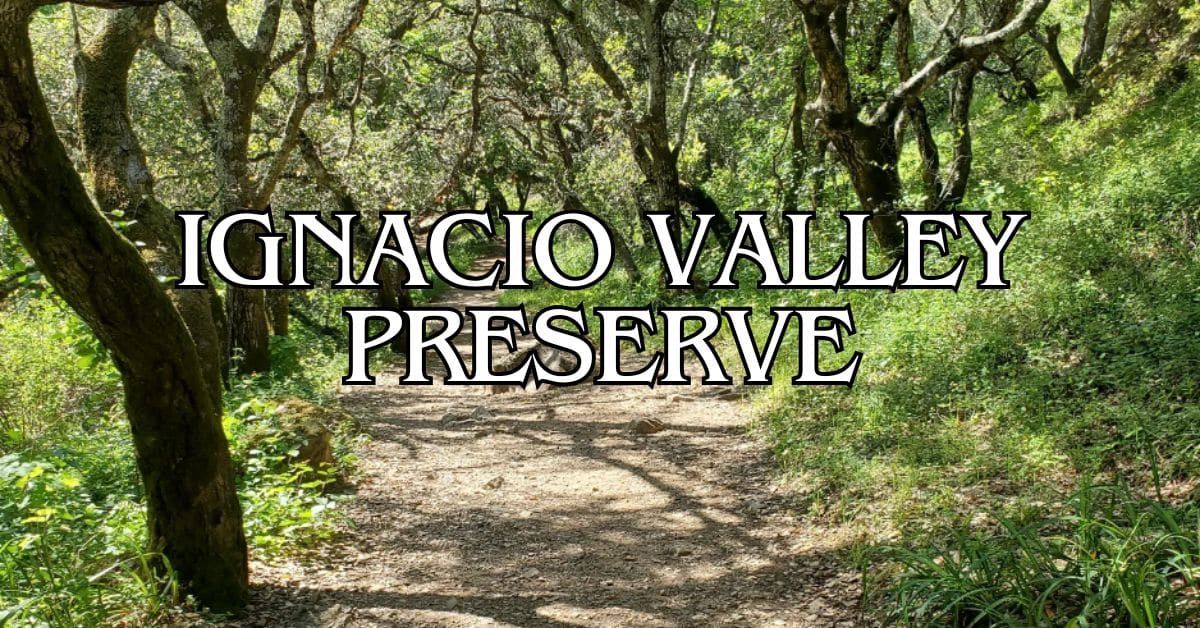
Tucked away in Marin County, Ignacio Valley Preserve offers peaceful trails without the crowds. This hidden gem connects with Indian Valley Open Space Preserve, creating a network of paths perfect for hiking and exploring. You’ll find three main trails winding through Novato neighborhoods, making this one of Marin County’s least visited open spaces.
You can access Ignacio Valley Preserve from local Novato streets, with trailheads on Wilson Avenue, Hill Road, and Diablo Avenue. Fire roads and multiuse county paths link up with the larger regional trail system. Whether you’re a casual walker or a more ambitious hiker, there’s a route here for you.
Discover hand-picked hotels and vacation homes tailored for every traveler. Skip booking fees and secure your dream stay today with real-time availability!
Browse Accommodations Now
Because it’s tucked away, the preserve feels like a quiet escape from Marin’s busier parks. When you visit, expect to see local wildlife and native plants, and don’t worry about fighting for parking or squeezing past crowds. Bring water and wear comfortable shoes—there aren’t any facilities out here, but that’s part of the charm.
About Ignacio Valley Preserve
Ignacio Valley Preserve sits in a less-traveled corner of Marin County and offers a peaceful break from city life. If you’re willing to wander a bit, you’ll find solitude and some surprisingly stunning views along the trails.
Overview and History
The preserve covers 519 acres and is part of a larger 3,000-acre open space area in Novato. Since most folks don’t know about it, you can actually enjoy quiet exploration without running into crowds.
Trails climb steep slopes up toward Big Rock Ridge, where you’ll get those “top-of-the-world” views that make the uphill worth it. Despite all this natural beauty, Ignacio Valley stays under the radar, probably because you have to find your way in through Novato neighborhoods.
There are just three main trails, so you won’t get lost in a maze, but there’s still enough variety to keep things interesting.
Role Within Marin County’s Open Space
Ignacio Valley Preserve is a key piece of Marin County’s open space network. It helps keep wild places wild and gives people a chance to get outside and breathe.
Unlike the parks that draw big crowds, this place feels like real wilderness. You can actually hear the birds and maybe even your own thoughts.
Wildlife lovers, take note: since not many people visit, you’ve got a better shot at spotting native animals in their element. The varied terrain supports a surprising number of ecosystems for such a compact area.
When people spread out across preserves like this, it helps take the pressure off Marin’s busier parks and trails.
Planning Your Visit
If you want to make the most of your trip, a little planning goes a long way. Ignacio Valley Preserve has beautiful trails and scenery, but you’ll want to know where to go and when.
Best Times to Visit
Spring (March-May) is hands-down the best time. Wildflowers explode across the grasslands, and after winter rains, the waterfalls actually put on a show.
Fall (September-November) brings cooler weather and quieter trails. The oak woodlands light up with color—pretty great for photos or just soaking it in.
Summer afternoons? Honestly, they can be brutal. Temperatures often climb above 85°F, and there’s not much shade. If you have to go in summer, aim for early morning.
Winter (December-February) has its perks—the hills turn green and the creeks run strong. But be ready for mud and the occasional trail closure after big storms.
How to Get There
You’ll find the preserve through Novato neighborhoods—there’s no official parking lot. Just park on the street near the trailheads.
The main way in is from eastern Novato. Take the Ignacio Boulevard exit off Highway 101, head east, and follow the neighborhood streets to the trailhead (best to check the Marin County Parks website for the latest directions).
Public transit isn’t great, but there are bus stops within walking distance if you’re determined. Look up Marin Transit routes for eastern Novato.
It’s about 25 miles north of San Francisco and 8 miles north of San Rafael.
Visitor Guidelines
Trails are open to hikers, cyclists, and horseback riders. Cyclists should yield to hikers, and everyone needs to give horses the right of way.
Dogs have to be leashed at all times. Bring your own waste bags and pack out whatever your dog leaves behind.
Stick to the marked trails—some paths cross private land easements, and the ecosystem here is fragile.
Camping and fires aren’t allowed. There are no trash cans, so whatever you bring in, you’ll need to pack out.
Accessibility Information
Most trails here are natural-surface and moderately challenging. Expect uneven ground, some steep bits, and seasonal creek crossings.
There aren’t any ADA-accessible trails at this time. If accessibility is a concern, reach out to Marin County Parks before you go.
No restrooms in the preserve, so plan ahead and use facilities in Novato first.
Cell service can be spotty. Download trail maps before you leave home, or bring a paper map just in case.
Top Trails in Ignacio Valley Preserve
You’ll find some great hiking options here, each with its own vibe and level of challenge. The trails take you through a mix of woods and open ridgelines.
Main Loop Trail
The Main Loop Trail is the go-to route. It’s a 3.2-mile loop with moderate elevation—enough to get your heart rate up, but not overwhelming. You’ll move through oak woodlands and open grasslands, and the signage is pretty clear.
This loop connects with other trails, so it makes a good jumping-off point. Most folks can finish it in about an hour and a half.
Keep your eyes open for wildlife—deer, rabbits, lots of birds. In spring, wildflowers pop up everywhere.
There are a few shaded spots along the way if you need a break.
Buck Gulch Falls Trail Highlights
Locals call it the Fairway Falls Trail, but AllTrails users know it as Buck Gulch Falls. With a 4.5-star rating from nearly 700 reviewers, it’s easily the preserve’s most popular path. The 2.8-mile route leads to a seasonal waterfall that really puts on a show in winter and spring.
It’s a moderate hike with a few steeper stretches, but the falls at the end make it worth the effort. You’ll cross creeks and wander through mixed forest. The trail holds up well but can get muddy after rain.
If you want to see the waterfall at its best, aim for January through April. By summer, it’s usually just a trickle.
Trail Surface and Conditions
Trail surfaces range from packed dirt to rocky patches. Most paths are natural, so you get that wild feel, but be ready for a few challenges, especially after rain.
After wet weather, expect slippery and muddy spots, especially in the shade. Good shoes with traction are a must.
In summer, trails get dry and dusty, and the open areas can get hot fast.
Hikers, cyclists, and horseback riders all share these trails. Signs along the way remind everyone about right-of-way.
Trails usually stay open year-round, but sometimes they’ll close for maintenance or after big storms.
Wildlife and Natural Features
Ignacio Valley Preserve is home to plenty of plant and animal life, with habitats that change as you move through the area. You’ll find something new with every visit, depending on the season.
Habitats and Ecosystems
There’s a surprising mix of ecosystems here. Sandstone slopes dotted with madrone groves give shelter to all sorts of critters. Wide-open grasslands feed deer and smaller mammals—just keep an eye out.
Oak woodlands, filled with valley and coast live oaks, offer shady spots and play a big part in keeping the local climate in check. Mature oaks are especially important for temperature and carbon storage.
You’ll wander through sunny, exposed hills and then duck into cool, shaded groves. Seasonal creeks pop up in wetter months, drawing even more wildlife.
Notable Flora and Fauna
The plant diversity here is pretty impressive. Huge manzanitas stand out, and the woods are a mix of coast live oak, madrone, black oak, and California bay. Monkeyflower and toyon add color here and there.
If you move quietly, you’ll get some great wildlife sightings. Birds are everywhere—some stick around all year, others just pass through. Early mornings or evenings are your best bet for spotting deer. Predators live here too, but they’re shy and you’ll rarely see them.
The best wildlife viewing is usually when it’s cool out and animals are active.
Nearby Attractions and Open Spaces
Ignacio Valley Preserve links up with other Marin County open spaces, each with its own character. If you want to keep exploring, you’ve got options.
Deer Island Open Space Preserve
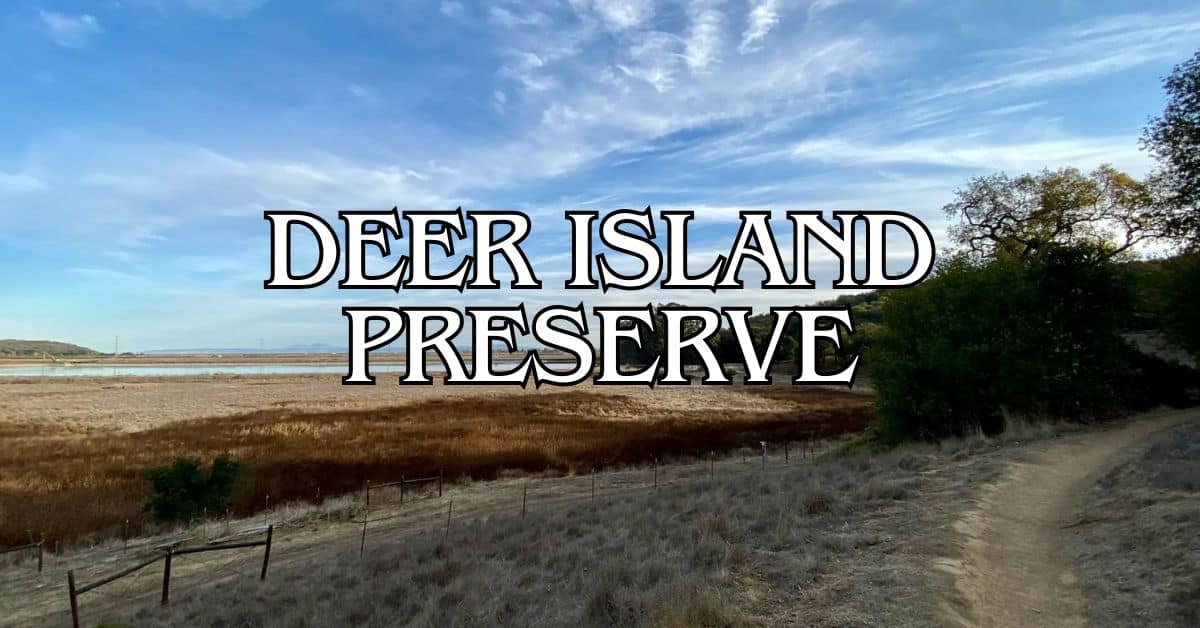
Deer Island is just a quick drive away. This 154-acre hill rises above Novato’s northeast edge, offering moderate trails and sweeping views.
Find the perfect hotel or vacation rental. Instant booking, no fees!
View Top Stays
The main loop is about 2 miles with 200 feet of elevation gain—perfect for a quick hike or a sunset stroll. Most of the trail is exposed, so bring a hat or sunscreen on sunny days.
You’ll probably spot deer (of course), plus birds and small mammals. Spring brings out the wildflowers.
Dogs are welcome on leash, which is a bonus. There’s a small parking lot on Deer Island Lane.
Bothin Marsh Open Space Preserve
Bothin Marsh is a totally different scene. Located near Mill Valley, this 106-acre wetland has flat, wheelchair-friendly paths along Richardson Bay.
The main draw is the Mill Valley-Sausalito Path, a paved trail that’s great for walking, jogging, or biking with bay views and marsh wildlife.
Birdwatching here is top-notch, especially during migration. You might see:
- Great blue herons
- Egrets
- Ducks and geese
- A variety of shorebirds
Mornings are best for wildlife and photos. Tides change the whole scene, so checking a tide chart before you go can make your visit even better.
Santa Venetia Marsh Open Space Preserve
Tucked just east of Highway 101 near San Rafael, this 85-acre wetland preserve is all about giving tidal wetlands a fighting chance—and letting visitors get a feel for the ecosystem up close.
A levee trail loops around the marsh for about 1.3 miles. It’s flat, easy, and if you catch a clear day, you’ll get some pretty great views of San Pablo Bay and the mountains beyond.
The marsh is home to endangered species like the California clapper rail and the salt marsh harvest mouse. Along the way, you’ll see interpretive signs that lay out why these wetlands matter.
If you’re into birdwatching, winter’s the time to go. Bring binoculars; you’ll spot migratory birds everywhere. Cooler temps and more active wildlife make early mornings or evenings the best bet.
Old St. Hilary’s Open Space Preserve
Up on a hillside above Tiburon, Old St. Hilary’s preserve protects 122 acres of rare native plants. The place is famous for its wildflower displays in spring and sweeping views of the bay.
At the heart of it all sits a historic chapel from 1888. These days, it’s a landmark and sometimes hosts community events. Trails here range from a gentle stroll to a bit of a workout.
What really sets this preserve apart is its serpentine soil—perfect for rare plants you won’t find in many other spots, like:
- Tiburon mariposa lily
- Marin dwarf flax
- Tiburon paintbrush
If you want to catch the wildflowers at their best, aim for February through May. On a clear day, the views of Angel Island, the Golden Gate Bridge, and San Francisco are tough to beat.
Other Notable Bay Area Preserves and Parks
Marin County’s packed with natural areas beyond Ignacio Valley Preserve. Each spot has its own vibe—waterfalls, wildlife, you name it.
Carson Falls and Cataract Falls
Carson Falls dishes up a moderate 3.7-mile hike with a 600-foot climb. The falls are at their best after winter or spring rains, tumbling down about 100 feet in rocky tiers.
In February and March, keep an eye out for California red-legged frogs in the pools. You’ll start out at the Fairfax-Bolinas Road trailhead in Fairfax.
Cataract Falls is one of Marin’s most dramatic waterfall hikes. The 2.6-mile trail hugs Cataract Creek as it crashes over multiple drops.
Best time to visit: January through April
Difficulty: Moderate to challenging
Parking: Limited at both trailheads
Trekking poles help with the steep, sometimes slippery sections—especially after rain.
Alamere Falls and Leo Cronin Fish Viewing Area
Alamere Falls stands out as one of California’s rare tidefalls—freshwater pouring straight onto the beach. The 8.4-mile round-trip hike in Point Reyes National Seashore takes you through some classic coastal scenery.
The main trail needs a bit of fitness and a scramble near the end. If you want to skip the beach descent, stick to the upper falls for an easier outing.
The Leo Cronin Fish Viewing Area in Samuel P. Taylor State Park is a good spot to catch spawning salmon from December to February. Coho salmon and steelhead trout swim upstream here.
It’s wheelchair accessible, with paved paths along Lagunitas Creek. Visit after rain for the best chance to see the fish, and don’t forget your binoculars.
Crane Creek Regional Park and Maxwell Farms Regional Park
Crane Creek Regional Park in Rohnert Park covers 128 acres of rolling oaks and meadows. There’s a 9-hole disc golf course weaving through the hills, and in spring, wildflowers like lupines and poppies put on a show.
Picnic tables are scattered throughout, making it a solid family hangout.
Maxwell Farms Regional Park in Sonoma packs a lot into its 85 acres along Sonoma Creek. You’ll find:
- Boys & Girls Club facilities
- Soccer and baseball fields
- Tennis courts, playgrounds
- Shaded picnic spots with barbecues
A 1-mile paved path loops through the grounds, so it’s accessible for just about everyone. It’s a nice pick for family gatherings, thanks to the mix of open space and recreation.
Hiking Tips and Safety
If you’re heading out to Ignacio Valley Preserve, a little prep goes a long way. Here’s what you’ll want to keep in mind for a safe, enjoyable hiking experience—and to help keep the place wild.
Trail Etiquette
Stick to marked trails. Trails like Halloween Trail and the Fairway Falls route exist for a reason—they protect both you and the ecosystem.
If you’re heading downhill, give way to folks coming up. Uphill hikers have it harder, so a little courtesy goes a long way.
Keep voices low. Nature’s peace is a big draw here, and wildlife doesn’t love loud chatter. If you pack it in, pack it out—there aren’t any trash cans in the preserve.
Leash your dogs where required. It’s better for the wildlife and more relaxing for everyone.
Weather Considerations
Check the weather before you go, especially during rainy months. Trails can get muddy and slick in a hurry. Waterproof boots are a smart call.
Dress in layers—Marin County’s microclimates can flip the temperature fast, especially if you’re going from valley to ridge.
Always bring water, even for short hikes. No drinking fountains here, and ridge trails can get hot with little shade.
Fairway Falls is most impressive after rain, but you’ll want tall boots and a rain jacket. Skip the hike during extreme heat; early mornings are cooler and safer in summer.
Wildlife Awareness
Poison oak is everywhere. Learn its “leaves of three” look and stick to the trail to avoid it.
Give wildlife space. You’ll see plenty of animals here, but they’re best admired from a distance.
A little noise as you hike lets animals know you’re coming—less chance of startling them. Don’t feed any wildlife; it messes with their diets and habits. Even if it feels harmless, it never is.
Watch for seasonal wildlife changes. In spring, some birds get territorial near nests along the trails.
Family-Friendly Activities
Ignacio Valley Preserve is a great spot for families who want to explore nature together. The trails are accessible, and educational programs keep things interesting for all ages.
Kid-Friendly Trails
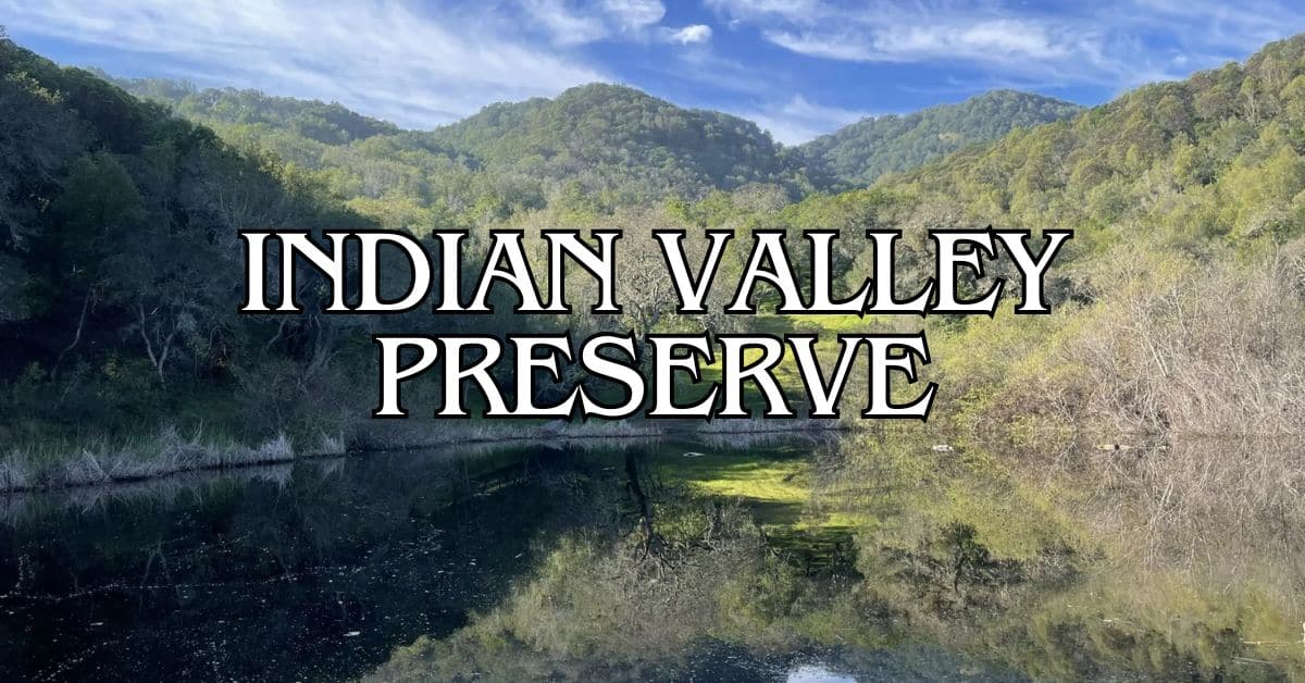
The Indian Valley Open Space Preserve section offers a 1.5-mile roundtrip hike that’s just right for kids. It’s gentle, not too long, and has wildflowers and maybe even wildlife to spot along the way.
The Buck Gulch Falls trail (also called Fairway Waterfall) is another family favorite. It’s short, easy to follow, and the waterfall at the end is always a hit.
Take it slow with kids—there’s space to wander, but it’s best to stick to the wide, official trails.
Seasonal Guided Programs
Marin County Parks runs “Nature for Kids” hikes at Ignacio Valley Preserve year-round. These kid-paced walks are full of stops for exploring and learning, led by park rangers who know how to keep things fun and accessible. Topics usually include:
- Local plants and their uses
- Wildlife habitats and tracking
- How the ecosystem changes with the seasons
- Indigenous history of the land
These programs last about 1-2 hours and you’ll need to register in advance on the Marin County Parks site. In fall, they sometimes focus on manzanita berries, which attract wildlife like coyotes and foxes.
You might also find occasional family volunteer days—help out with restoration projects and get your hands a little dirty for a good cause.
Photography and Scenic Views
Ignacio Valley Preserve is a real treat if you’re into photography. There’s a lot to work with—changing elevations, big vistas, and quiet corners for wildlife shots.
Best Vantage Points
Big Rock Ridge is the spot for panoramic views. On a clear day, you can see from Novato to Contra Costa and Solano counties.
Luxury stays to cozy cottages await, all with instant booking. Find the best deals!
Browse Marin Stays
Morning light is soft and golden, perfect for landscape shots. Sunsets here are worth the effort too, with long shadows stretching across the valley.
If wildlife photography is your thing, bring a telephoto lens and hang out on the quieter trails. Since this is one of Marin’s less-visited preserves, you’ll often have the best viewpoints to yourself—ideal for landscape shots.
The trails to the viewpoints can be steep, so decent hiking shoes are a must. Spring wildflowers add a pop of color to wide shots, making that climb even more rewarding.
Events and Community Involvement
Ignacio Valley Preserve isn’t just about solo hikes—it’s also a place to connect with neighbors and nature lovers. There are seasonal events and ongoing volunteer opportunities if you want to get more involved.
Local Events Calendar
Marin County Parks puts on guided activities at Ignacio Valley Preserve throughout the year. One highlight: the Buck Gulch Waterfall Walk, set for January 5, 2025. It’s a guided trip to the waterfall, usually timed for peak flow.
The preserve pops up in countywide events calendars too. You’ll find info about upcoming hikes, nature walks, and educational programs through the Marin Convention & Visitors Bureau.
In spring, wildflower walks are popular. Winter events often focus on the waterfalls when they’re at their best.
Volunteer Opportunities
Ignacio Valley Preserve relies on volunteers to keep trails clear and habitats healthy. It’s quieter than most Marin preserves, so volunteering here is a peaceful way to give back.
Common volunteer tasks:
- Trail maintenance and cleanup
- Removing invasive plants
- Restoring native species
- Wildlife monitoring
Marin County Parks and One Tam, a community initiative, organize most events and provide tools and training.
Sign up for volunteer days or ask about ongoing roles on the Marin County Parks website. Most events welcome families and don’t require experience.
Comparing Nearby Trails and Destinations
Marin County is loaded with alternatives to Ignacio Valley Preserve. Depending on your mood, fitness, or the kind of scenery you’re after, you’ll find something that fits just right.
Bay Area Hiker Recommendations
Bay Area Hiker, a go-to local source, often points folks toward Indian Valley Open Space Preserve as a solid alternative to Ignacio Valley. You’ll find trails for all abilities and, honestly, way fewer crowds than places like Mount Tamalpais.
If you’re itching for a tougher trek, the Dipsea Trail is a classic. Start at Pantoll Campground, hop on the Old Mine Trail, and head about 3 miles down to Muir Woods. The views are spectacular, but you’ll want to be in decent shape for the return climb.
Families and casual walkers seem to love the Hoo Koo E Koo Loop—it’s got a perfect mix of moderate terrain and rewarding valley views. Local hikers give it high marks (5.0 from 8 reviews), and it’s never too overwhelming.
Craving solitude like Ignacio Valley offers? Big Rock Ridge is worth a look. The climb’s pretty steep, but you get those sweeping “top-of-the-world” vistas without the usual crowds.
Contra Costa Canal Trail and Nimitz Way
The Contra Costa Canal Trail is a whole different vibe from Ignacio Valley’s rugged hills. It’s flat, paved, and stretches for miles through eastern Marin and into Contra Costa County. It’s great for:
- Families with strollers or little cyclists
- Anyone who wants an easy, accessible walk
- Runners who need a steady, predictable surface
Nimitz Way up in the Berkeley Hills splits the difference between wild and accessible. Partly paved, with killer bay views on clear days, it links up with a bunch of other trails.
Nimitz Way does draw more people, especially on weekends. But you get perks—restrooms, water fountains, and a bit more infrastructure than Ignacio Valley.
Glen Canyon, Twin Peaks, Mount Davidson
If you’re up for a trip into San Francisco, three urban wilderness spots offer surprisingly quiet hikes:
Glen Canyon drops you into a deep, forested ravine right in the city. The trails feel oddly remote, considering you’re surrounded by neighborhoods. In spring, wildflowers put on a show that rivals Ignacio Valley.
Twin Peaks is basically San Francisco’s postcard view. Trails loop around both peaks, serving up 360-degree panoramas—Golden Gate Bridge, downtown, East Bay, you name it. You’ll have plenty of company, though.
Mount Davidson, the city’s highest natural point, winds through misty eucalyptus groves. It’s got that classic Marin County feel, but you can get there by bus or train, no problem.
These San Francisco hikes pair well with other city adventures—makes for a fun day out without a big commute.
Exploring the Greater Bay Area
Ignacio Valley Preserve is a peaceful spot in Marin, but there’s a whole world of trails and views nearby. The Bay Area’s got everything from wild coastlines to easy bayfront walks.
Fort Baker and Crissy Field Adventures
Fort Baker sits right under the Golden Gate Bridge in Sausalito, with epic views of San Francisco. The old military grounds are now a mix of hiking trails, picnic spots, and the Bay Area Discovery Museum—great if you’ve got kids in tow.
Walk the 1.5-mile Batteries to Bluffs Trail for a peek at historic artillery sites and jaw-dropping ocean views. Parking and restrooms are easy to find.
Crissy Field is a flat, breezy promenade along the bay. Birdwatchers love the restored wetlands, and the beach is perfect for a picnic or just soaking up the view. The Golden Gate Promenade stretches 2.5 miles, linking up with the Presidio and Fort Point.
Best time to visit: Try weekday mornings for lighter crowds and easier parking.
Pillar Point and Kehoe Beach Getaways
Pillar Point Harbor near Half Moon Bay has mellow hiking along dramatic bluffs and a protected cove. You’ll spot fishing boats and maybe even catch sight of the famous Mavericks surf break.
During low tide, check out the tide pools—or come from December to April to watch for migrating whales. The Half Moon Bay Coastal Trail runs about 4 miles with constant ocean views.
Kehoe Beach in Point Reyes is a bit of a hidden gem. It’s a half-mile walk from the parking lot, but you’re rewarded with a quiet, dog-friendly stretch of sand and great beachcombing.
What to bring:
- Layers (the fog is unpredictable)
- Binoculars for spotting wildlife
- Water and snacks—services are scarce
- A camera for those dramatic coastline shots
Ragle Ranch and Sonoma Baylands Excursions
Ragle Ranch Regional Park in Sebastopol has 3.5 miles of trails winding through oak woodlands and open fields. There’s a pond with plenty of birds, tennis courts, picnic tables, and a playground.
Hikers enjoy the mellow paths, and on Sundays (May through November), the farmers market adds a fun local touch.
Sonoma Baylands is all about wide-open wetlands along San Pablo Bay. It’s a key spot for shorebirds and waterfowl, especially during migration.
The 1-mile loop is flat and exposed—no shade at all. If you’re visiting in summer, go early.
Pinnacle Gulch, Bayfront Park, and Carquinez Strait
Pinnacle Gulch Coastal Access near Bodega Bay leads you on a short (half-mile) but scenic walk to a secluded beach. The trail winds through coastal brush before opening up to rocks and tidepools.
Bayfront Park in Mill Valley is the easy-access option, with wheelchair-friendly boardwalks through restored marsh. The 1.7-mile loop gives you views of Mount Tamalpais and tons of birdlife.
Carquinez Strait Regional Shoreline connects Martinez and Crockett with over 9 miles of trails above the meeting point of the Sacramento and San Joaquin Rivers.
Trail difficulty levels:
- Pinnacle Gulch: Moderate (some steeper spots)
- Bayfront Park: Easy (flat, accessible)
- Carquinez Strait: Moderate to challenging (expect some climbs)
You’ll get bridge views, glimpses of historic towns, and busy shipping channels. Spring wildflowers really light up the hillsides—definitely a good time to go.
Environmental Conservation
Ignacio Valley Preserve is a big deal for Marin County’s natural spaces. Its 885 acres of open land link up with other preserves, creating a crucial wildlife corridor.
Climate Change Impacts
Climate change is taking a toll on Ignacio Valley Preserve. Higher temperatures and shifting rainfall mess with the oak woodlands and grasslands. Plants and animals that thrived in stable conditions now have to adapt to unpredictable weather.
Droughts hit more often, stressing native plants and raising wildfire risk. The creeks—lifelines for wildlife—don’t flow as reliably as they used to.
If you visit, you might notice some changes. Some plant species are creeping higher up the hills. Bird migration patterns have shifted a bit, so you may spot different species at different times than before.
Stewardship Initiatives
Marin County Parks runs a bunch of conservation programs at Ignacio Valley Preserve. Their main focus is keeping biodiversity and ecosystem health strong, even with all the environmental pressures.
They’re tackling invasive plants that threaten native species. Volunteers help pull non-natives and replant indigenous varieties that support local wildlife better.
Fire management is a big part of the plan, too. The preserve is part of a county-wide effort that uses controlled burns and smart vegetation management to protect both nature and nearby neighborhoods.
Interested in helping out? Marin County Parks offers volunteer programs like:
- Monthly habitat restoration days
- Wildlife monitoring
- Educational hikes focused on conservation
- Seasonal native plant restoration
Additional Parks and Waterfronts
Marin County’s got a bunch of other parks and waterfront spots beyond Ignacio Valley. Each one offers a different slice of nature and recreation.
Martin Luther King Jr. Regional Shoreline
This peaceful shoreline park covers 741 acres along San Leandro Bay in Oakland. Flat, paved trails make it easy for everyone to get around.
Birders will find plenty to love—herons, egrets, and all sorts of shorebirds hang out in the wetlands. Observation platforms make birdwatching simple.
Picnic areas with barbecues and tables overlook the water, so it’s a great spot for family gatherings or just a quiet lunch.
If you’re into water sports, the park has boat launches and fishing access. The bay is usually calm, so kayaking and paddleboarding are easy, especially in the morning.
Cesar Chavez/North Waterfront Park
Right along San Francisco’s northern waterfront, this park honors Cesar Chavez and gives you awesome bay views. You get a unique angle on the Bay Bridge and Treasure Island.
Wide, smooth paths are perfect for walking, jogging, or biking. They link up with the Embarcadero, so you can wander as far as you want.
Public art dots the park, celebrating both maritime history and Chavez’s work. The sculptures and monuments add a little culture to your stroll.
Benches line the waterfront, giving you plenty of chances to pause and watch the boats. It’s a lot quieter than the big tourist hotspots, which is honestly a relief.
Heron’s Head Park
This 22-acre wetland in San Francisco’s Hunters Point juts into the bay, creating a protected spot for wildlife. It’s both a nature haven and an educational hub.
The EcoCenter at Heron’s Head runs free environmental programs on weekends, teaching about wetlands and conservation.
Birdwatching is top-notch—over 100 species have been spotted here. Keep an eye out for great blue herons stalking fish in the shallows.
The 1.5-mile trail loop is accessible and lined with signs about local ecology. Some stretches have wide-open bay and skyline views—it’s a surprisingly peaceful escape from the city.
Los Alamitos Creek Trail and Bald Mountain
This South Bay gem mixes a peaceful creek-side path with a shot at Bald Mountain’s sweeping summit views. The trail meanders alongside Los Alamitos Creek for about 4.5 miles, winding through suburban San Jose.
You’ll find the path in good shape—walkers, joggers, and cyclists all make good use of it. Most of the way, it’s pretty flat and tucked under big old oak trees, so you won’t roast on hot days.
Bald Mountain stands 1,003 feet above the valley. If you’re up for it, the 1.5-mile climb to the top is moderately tough but totally worth it for those wide-open South Bay vistas.
Keep your eyes peeled for wildlife along the creek and up on the mountain. Early mornings or evenings, you might catch deer, rabbits, or a bunch of different birds doing their thing.
Find available hotels and vacation homes instantly. No fees, best rates guaranteed!
Check Availability Now
Black Point Boat Launch Travel Guide – Accessibility, Amenities, Activities, and More!
Deer Island Preserve Travel Guide – Accessibility, Amenities, Activities, and More!
Ignacio Valley Preserve Travel Guide – Accessibility, Amenities, Activities, and More!
Indian Tree Preserve Travel Guide – Accessibility, Amenities, Activities, and More!
Indian Valley Preserve Travel Guide – Accessibility, Amenities, Activities, and More!
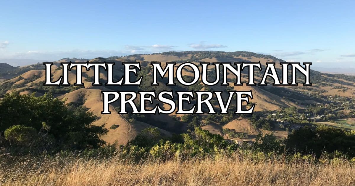
Little Mountain Preserve Travel Guide – Accessibility, Amenities, Activities, and More!
Loma Verde Preserve Travel Guide – Accessibility, Amenities, Activities, and More!
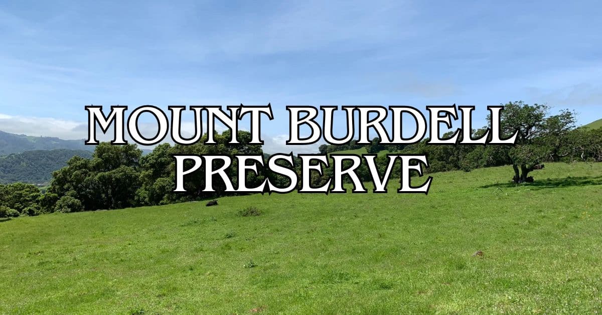
Mount Burdell Preserve Travel Guide – Accessibility, Amenities, Activities, and More!
Olompali State Historic Park Travel Guide – Accessibility, Amenities, Activities, and More!
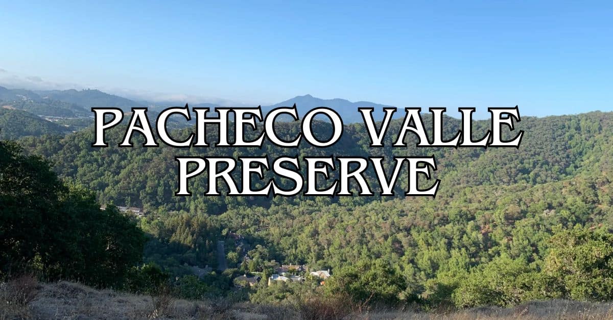
Pacheco Valley Preserve Travel Guide – Accessibility, Amenities, Activities, and More!
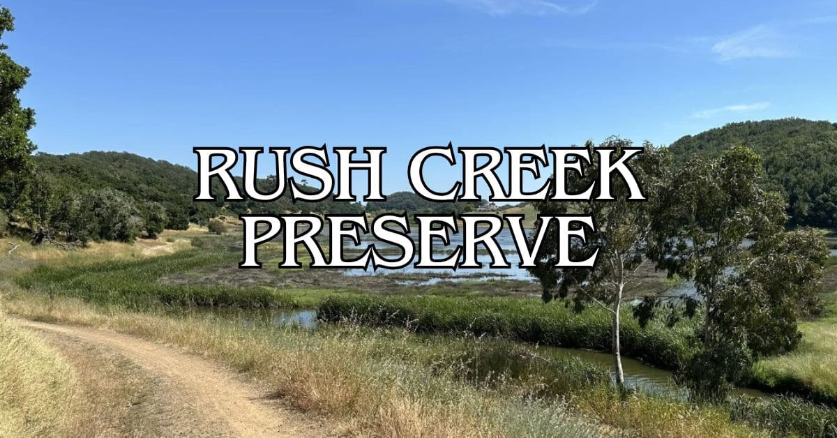
Rush Creek Preserve Travel Guide – Accessibility, Amenities, Activities, and More!
Santa Margarita Island Preserve Travel Guide – Accessibility, Amenities, Activities, and More!
Stafford Lake Park Travel Guide – Accessibility, Amenities, Activities, and More!
Verissimo Hills Preserve Travel Guide – Accessibility, Amenities, Activities, and More!


