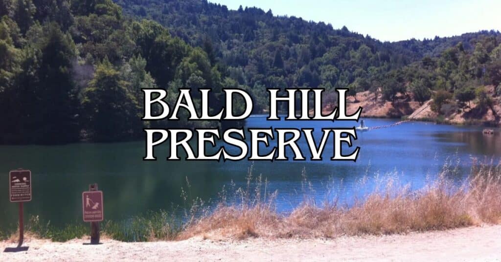
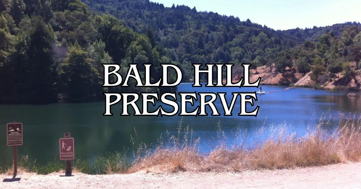
Tucked away just west of San Anselmo, Bald Hill Preserve is where hikers escape the noise and find some truly gorgeous Marin County views. It’s pretty central—less than 3 miles north of Mount Tamalpais—so if you’re already exploring the area, it’s an easy add-on. Locals love the rolling hills and the sweep of greenbelt that keeps the place feeling wild, even though you’re not far from town.
You’ll find a handful of trails here, all in good shape. The Deer Park, Shaver Grade, and Gertrude Ord Trail get a lot of love from regulars and visitors alike. The main path up to the summit is about 1.1 miles each way, with a 500-foot climb. Most families in decent shape can handle it, though it’s a bit of a huff if you’re not used to hills.
Discover hand-picked hotels and vacation homes tailored for every traveler. Skip booking fees and secure your dream stay today with real-time availability!
Browse Accommodations Now
Once you make it to the top, the views are just ridiculous—panoramic, with all of Marin County laid out below. It’s easy to get here from nearby towns, yet somehow you feel totally away from it all. Spring is wildflower season, and on clear days you’ll spot distant landmarks across the bay.
About Bald Hill Preserve
This place really delivers on the outdoor experience, with its high points and those classic Marin County vistas. It’s open to the public and easy to reach, so you get the best of both worlds: natural beauty and convenience.
Overview and History
Bald Hill rises to 1,132 feet, making it the second-highest spot on a ridge that’s pretty important around here. It’s a landmark—if you’re in Ross Valley or San Anselmo, you’ve probably seen it looming in the background.
Managed by Marin County Parks, the preserve acts as a natural buffer between neighborhoods. The open grasslands up top give the hill its “bald” look, which stands out against the wooded lower slopes.
People come for the 360-degree views at the summit—Mount Tamalpais, the Bay Area, all of it. The preserve helps keep this slice of Marin feeling wild, even as development creeps closer.
Location and Directions
You’ll find Bald Hill Preserve right in the heart of Marin County, just above San Anselmo and less than 3 miles from Mount Tam. Getting here is a breeze, whether you’re a local or just passing through Northern California.
Multiple trailheads lead into the preserve, and the trail network links to nearby neighborhoods and open spaces.
There are two main trails here, both with a solid 4.5-star rating on AllTrails. A couple of things to keep in mind:
- Parking is pretty limited at most trailheads.
- Trail difficulty varies—some stretches are steeper than you might expect.
- Mornings and evenings are best for cooler temps and better light if you’re into photography.
This spot fits perfectly into a day spent exploring Marin’s other wild corners.
Planning Your Visit
A little planning goes a long way at Bald Hill. Timing, weather, and what’s in your pack can make or break your day out here.
Best Time To Visit
You can head out here any time of year, but each season has its own vibe. Spring (March-May) is peak wildflower time, with comfortable temps for longer hikes and great photos. After winter rains, the hills turn a crazy shade of green.
Summer (June-August) means lots of sun, sometimes too much—temps can hit the 80s°F. Try to get there early to beat the heat and snag a parking spot.
In fall, you’ll get crisp, fog-free views of Mount Tam and the bay. Just know the Deer Park parking lot fills up fast on weekends—arrive before 9am if you can swing it.
Winter (December-February) gives the preserve a lush, green look after the rains, but trails can get muddy. Weekdays are quieter and parking’s easier.
Weather and Climate
Bald Hill has that classic Mediterranean climate. Summers are warm and dry, usually between 65-85°F. There isn’t much shade, so bring a hat and sunscreen.
Fog sometimes rolls in on summer mornings—especially June and July—but it usually burns off by lunchtime, opening up the views.
Winters are cooler (think 45-60°F) and bring most of the year’s rain. If it’s been pouring, check the forecast; trails can get slippery.
Spring and fall are probably the best for hiking—mild temps (60-75°F) and fewer weather surprises. Fog is less of an issue then, too.
Packing Essentials
Hiking Basics:
- Grippy hiking shoes
- Water bottle (there’s no water out there)
- Trail map (grab one at the Deer Park trailhead)
- Sunscreen and a hat (upper trails are exposed)
Seasonal Stuff:
- Spring/Summer: Extra water, sunblock
- Fall/Winter: Layers, rain jacket if it looks like showers
No visitor center or facilities here, so bring snacks for longer hikes and maybe a small first aid kit. Cell service is usually decent, but it’s smart to download the trail map ahead of time.
Binoculars are handy for spotting wildlife. There are picnic tables at Deer Park near the main trailhead—perfect for a post-hike bite with a view.
Hiking Trails At Bald Hill Preserve
You’ll find a mix of trails out here—some easy, some that’ll get your heart pumping, all with killer views. The system links up with bigger trail networks, so you can go as short or long as you like. Hikers, mountain bikers, and horseback riders all share the space.
Popular Routes and Distance
The Deer Park Trail to Worn Springs Fire Road is a go-to. It’s about 3 miles round trip with roughly 1,000 feet of elevation gain. Views are top-notch, and you can branch out onto other trails.
If you want to see more, try looping Deer Park, Shaver Grade, and Gertrude Ord Trail. AllTrails users rave about this combo—lots of variety and great scenery.
Most hikes start just south of Deer Park School. Look for the trailhead past the playground and that twisted, old tree everyone uses as a landmark.
The preserve’s multiuse trails run along a greenbelt above San Anselmo, so you’re always getting a little elevation and a lot of views.
Trail Difficulty Levels
You’ve got options here. Fire roads like Worn Springs are wider with gentler slopes—good for intermediate hikers.
Single-track trails, especially parts of the Yolanda Trail, get steeper and narrower. If you like a challenge and have sturdy shoes, go for these.
Beginners can stick to the lower stretches of Deer Park Trail. These are mellow, with less climbing and smoother paths.
If you’re heading for the summit, expect some serious uphill—but the views from up top are absolutely worth it, especially on a clear day.
Find the perfect hotel or vacation rental. Instant booking, no fees!
View Top Stays
Accessibility and Flat Trails
There’s a bit of everything, but most of Bald Hill is hilly. Still, the first segments near the Deer Park entrance are pretty flat before you start climbing.
Wheelchair users and folks with mobility issues can check out the paved bits near the trailheads. They’re short but give you a taste of the scenery. Most trails get rough and steep pretty quickly, though.
Families with young kids often stick to the lower Deer Park area, where you can make easy loops on gentler ground.
The preserve connects with Marin’s regional parks, so you can extend your adventure or find trails that fit your needs. Definitely check the Marin County Parks trail map before you go.
Nature and Wildlife
If you’re into nature, Bald Hill Preserve is a treat. The variety of habitats here means you’ll see different plants and animals depending on the season or even the time of day.
Native Flora
Expect classic California landscapes—oak woodlands with coast live oaks and valley oaks in the lower spots. In spring, ferns and wildflowers pop up everywhere. California poppies and lupines can turn the place into a sea of color.
Higher up, chaparral takes over. Manzanita and scrub oak dominate, showing off their tough, drought-resistant leaves.
Grassy meadows spread out on the sunnier slopes. In spring, they’re green and full of flowers; by summer, they go golden—can’t get more California than that.
Some rare plants hang on here too, protected within the preserve.
Wildlife Observation
Wildlife watching is part of the fun. Early mornings or evenings, you might spot black-tailed deer grazing. Coyotes sometimes show up at dawn or dusk, hunting for smaller critters.
Birders have plenty to look for—red-tailed hawks, turkey vultures, and sometimes seasonal migrants. Listen for oak titmice and acorn woodpeckers in the woods.
Western fence lizards (“blue bellies”) are common, sunning themselves on rocks. In spring, keep an eye out for California newts near wet spots.
It’s a quiet place, so wildlife is easier to spot if you move slowly and keep your eyes open. Binoculars help, if you’ve got them.
Biodiversity and Conservation
Bald Hill acts as a wildlife corridor, letting animals move between larger protected areas in Marin. This is crucial for keeping populations healthy.
Crews work to remove invasive plants like Russian thistle and French broom. These invaders can crowd out the native species that belong here.
They also use controlled burns now and then to keep the ecosystem in balance and give native plants a boost.
Climate change is a wild card, so rangers keep an eye on shifts in plant and animal behavior. If you see something unusual, let the staff know—it helps them track changes.
Stick to the trails and respect the wildlife. It makes a difference.
Scenic Views and Photography
If you’re into photography or just love a good view, Bald Hill is one of Marin’s best. The 360-degree panoramas are the real deal—no exaggeration.
Panoramic Vistas
Up at the summit (locals call it “Baldy”), you can see forever: Golden Gate Bridge to the south, Pacific Ocean to the west, and the whole San Francisco Bay Area spread out beneath you. Mt. Tamalpais steals the show to the south.
Early morning and late afternoon are prime time for photos—the light gets soft and dramatic. In spring, wildflowers add a splash of color. Come fall, everything glows gold.
If you want the clearest views, go right after a storm. Sometimes, fog rolls in below while you stand in sunshine above—pretty magical, honestly.
Photography Tips
Bring a wide-angle lens if you want to really capture those sweeping landscapes. The summit’s a sweet spot for panoramic shots of the hills and San Francisco Bay—can’t beat those views.
If you’re out in the morning, face east and catch the sunrise lighting up the bay. For sunset, turn west and let the Pacific do its thing.
A polarizing filter? Honestly, it helps cut haze and makes the sky pop when it’s clear. If you’re hoping for wildlife shots, bring a zoom lens—you never know when deer or hawks will show up.
During golden hour (right after sunrise or before sunset), a tripod comes in handy for those dramatic shadows. If you’re just using your phone, try panorama mode and get that full 360-degree view.
Nearby Parks and Destinations
Marin County is packed with gorgeous natural areas just a short drive from Bald Hill Preserve. Each spot has its own vibe, from wild coastline to ancient redwoods.
Point Reyes National Seashore
Point Reyes National Seashore sprawls across 71,000 acres of protected coastline about 30 miles northwest of Bald Hill. It’s a whole peninsula with over 150 miles of trails—beaches, grasslands, forests, you name it.
On the Tomales Bay side, the water’s calm—great for kayaking or just watching wildlife. You might catch sight of harbor seals, tule elk, or any of the 490+ bird species that hang around.
The Point Reyes Lighthouse is iconic, but be ready for 308 steps down (and back up). It’s worth it for those ocean views. Winter’s whale migration (January-April) turns the area into a prime whale-watching spot.
Drakes Beach and Limantour Beach are both good for a stroll or picnic. Bear Valley’s visitor center is a solid place to start—rangers there can point you to trails or fill you in on local ecology.
Muir Woods National Monument
Just 12 miles southwest, Muir Woods is all about ancient coast redwoods in a peaceful valley. Some of these giants are over 250 feet tall and more than 1,000 years old.
Most folks stick to the 2-mile main trail loop through Cathedral Grove—it’s paved and boardwalked, so it’s pretty accessible.
Luxury stays to cozy cottages await, all with instant booking. Find the best deals!
Browse Marin Stays
Heads up: You’ll need to book parking or a shuttle ahead of time at recreation.gov. It’s a busy spot, so the system keeps things from getting too crowded.
If you want more solitude, try the Bootjack Trail, which links up with Mount Tamalpais State Park. Early mornings (before 10 am) or weekdays are your best bet for a quieter walk.
Samuel P. Taylor State Park
About 15 miles northwest, Samuel P. Taylor State Park covers 2,700 acres of redwoods and grassland along Lagunitas Creek. It’s a cool, shady spot—especially nice in summer when Bald Hill heats up.
The South Creek Trail hugs the creek, and if you’re there in winter, you might see salmon spawning. Cyclists like the paved Cross Marin Trail, which follows an old railroad through the park.
Camping’s an option if you want to stay overnight. Sites are tucked among the redwoods, so it’s a perfect summer retreat.
Try the Pioneer Tree Trail for a moderate 2.7-mile loop through old-growth redwoods. If you’re up for a challenge, Barnabe Peak Trail climbs to some pretty epic views.
Safety And Guidelines
A good visit to Bald Hill Preserve starts with a little prep and some common sense. These tips will help keep you (and the place) safe.
Trail Etiquette
Stick to the marked trails. Going off-path messes with the ecosystem and can cause erosion. Cell service is spotty, so bring a buddy if you can.
When trails get tight, uphill hikers have the right of way. Mountain bikers should yield to hikers and give a friendly heads-up when coming up from behind.
Keep dogs leashed unless you’re in a posted off-leash area. It’s safer for wildlife and other visitors.
There aren’t many trash cans, so pack out everything you bring. A small bag for your trash isn’t a bad idea.
Trail conditions shift with the seasons. After a good rain, expect mud or even some washed-out sections.
Wildlife Awareness
Bald Hill Preserve is home to deer, coyotes, bobcats, and plenty of birds. Give all animals their space and don’t try to feed them—human snacks aren’t good for them and can cause problems down the line. Keep your food sealed up in your pack.
Make a bit of noise as you hike, especially near blind corners. It lets wildlife know you’re coming and avoids surprise run-ins.
Watch for rattlesnakes in warmer months—they love to sun themselves on trails and rocks. If you see one, just give it space and let it move on.
Dawn and dusk are peak times for animal activity. If you’re out then, bring a flashlight and stay alert.
Avoiding Poison Oak
Poison oak is everywhere here. Look for the classic three-leaf pattern—green in spring and summer, red in fall.
The oil (urushiol) can cause a nasty, itchy rash, even from a light brush. Long pants and sleeves help protect your skin in thick brush.
If you do touch it, wash up fast—cool water and mild soap within 30 minutes is best. Tecnu or similar cleansers can help strip the oils.
Wash your hiking clothes separately—those oils stick around and can spread in the laundry.
Keep pets away from poison oak too. Their fur can carry the oil and transfer it to you later.
Family Activities And Amenities
Bald Hill Preserve is a good pick for families wanting to get outside together in Marin. It’s low-key, beautiful, and has just enough basics to keep things comfortable.
Picnic Areas and Facilities
You won’t find big, official picnic areas here. Most folks just bring a blanket and set up at a viewpoint along the trail.
There aren’t any permanent restrooms. Plan ahead and use facilities before you arrive. No water fountains either, so pack plenty, especially on hot days.
What the preserve lacks in amenities, it makes up for in scenery. Lots of families bring snacks to the summit—those views of Mount Tam and Ross Valley make even a simple meal feel special.
Family-Friendly Experiences
The main loop trail is about 2 miles round-trip with some moderate hills—most school-age kids handle it fine.
Trails are usually in good shape, but after rain, things can get muddy. Everyone should wear sturdy shoes.
Kids will love spotting wildlife. Bring binoculars and look for:
- Red-tailed hawks circling overhead
- California quail darting through the brush
- Deer grazing in the meadows (they’re out most in the morning or evening)
Spring brings wildflowers, and the open grasslands are perfect for a quick run or game. It’s a great spot for kids to burn off some energy while parents soak in the views.
Accessibility And Special Needs
Bald Hill Preserve isn’t the easiest spot for mobility, but there are a few accommodations if you need them.
Wheelchair Accessible Routes
Most trails here aren’t wheelchair-friendly—they’re steep, uneven, and have natural obstacles. The main entrance does have a couple of van-accessible parking spots with a crosshatch area. If you need extra help, call Marin County Parks at 415-473-6387 before you go.
There aren’t any fully ADA-accessible trails. If you use a mobility device, staff can let you know which sections might be doable with help or the right equipment. The preserve is working on being more inclusive, but it’s a work in progress.
Paved Trails Information
Almost all trails here are dirt or gravel, and they get tricky after rain. The few paved sections are right by parking lots or entrances and don’t go far before turning to natural surfaces.
If you really need paved paths, check out the nearby Corte Madera Pathway. It’s a smoother, more accessible option for wheelchairs, walkers, and strollers.
For more accessible trails, look into other Marin County parks with better infrastructure. Always check trail conditions before you head out.
Local Insights And Travel Tips
A little planning goes a long way at Bald Hill Preserve. Here’s what you’ll want to know about getting there and finding a place to stay nearby.
Getting There and Parking
You’ll find Bald Hill Preserve off Bolinas Road in Ross Valley. Parking is limited close to the trailhead, so if you’re coming on a weekend, try to get there early. Weekdays are usually less crowded.
The main lot is small and fills up fast during peak times. Carpooling or grabbing a rideshare can make things easier.
If the lot’s full, check for street parking in nearby neighborhoods, but watch for any residential rules. Sometimes people park at Deer Park School when it’s not in session.
The Marin Municipal Water District has a few connecting trails with different parking options if you want to try another route in.
Where to Stay Nearby
Ross, San Anselmo, and Fairfax are your best bets for staying close to Bald Hill Preserve. These little towns have a good mix—boutique hotels, cozy B&Bs, and vacation rentals—all just a quick 5-10 minute drive from the trailhead.
If you’re watching your wallet, San Rafael usually has more hotel options and a wider range of prices. Most of these places are still just 15 minutes away from Bald Hill, so you won’t be missing out.
You might want to try booking midweek if you can swing it. Rates tend to dip, and it’s easier to snag a spot, especially in the busy summer and fall months when Marin County fills up.
A lot of local lodgings hand out trail maps and share tips you won’t find online. Honestly, your hosts probably know the best viewpoints or secret routes on Bald Hill—don’t be shy about asking.
Find available hotels and vacation homes instantly. No fees, best rates guaranteed!
Check Availability Now
Adrian Rosal Park Travel Guide – Accessibility, Amenities, Activities, and More!
Alto Bowl Preserve Travel Guide – Accessibility, Amenities, Activities, and More!
Bald Hill Preserve Travel Guide – Accessibility, Amenities, Activities, and More!
Baltimore Canyon Preserve Travel Guide – Accessibility, Amenities, Activities, and More!
Bayside Park Travel Guide – Accessibility, Amenities, Activities, and More!
Blithedale Summit Preserve Travel Guide – Accessibility, Amenities, Activities, and More!
Bothin Marsh Preserve Travel Guide – Accessibility, Amenities, Activities, and More!
Buck’s Landing Travel Guide – Accessibility, Amenities, Activities, and More!
Camino Alto Preserve Travel Guide – Accessibility, Amenities, Activities, and More!
Candy’s Park Travel Guide – Accessibility, Amenities, Activities, and More!
Cascade Canyon Preserve Travel Guide – Accessibility, Amenities, Activities, and More!
Charles F. McGlashan Pathway Travel Guide – Accessibility, Amenities, Activities, and More!
China Camp State Park Travel Guide – Accessibility, Amenities, Activities, and More!
Corte Madera Pathway Travel Guide – Accessibility, Amenities, Activities, and More!
Hal Brown Park Travel Guide – Accessibility, Amenities, Activities, and More!
Horse Hill Preserve Travel Guide – Accessibility, Amenities, Activities, and More!
King Mountain Preserve Travel Guide – Accessibility, Amenities, Activities, and More!
Lagoon Park Travel Guide – Accessibility, Amenities, Activities, and More!
Loma Alta Preserve Travel Guide – Accessibility, Amenities, Activities, and More!
Lucas Valley Park Travel Guide – Accessibility, Amenities, Activities, and More!
Lucas Valley Preserve Travel Guide – Accessibility, Amenities, Activities, and More!
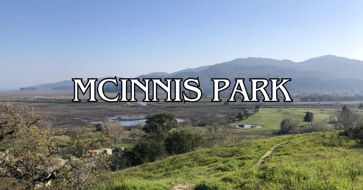
McInnis Park Travel Guide – Accessibility, Amenities, Activities, and More!
McNears Beach Park Travel Guide – Accessibility, Amenities, Activities, and More!
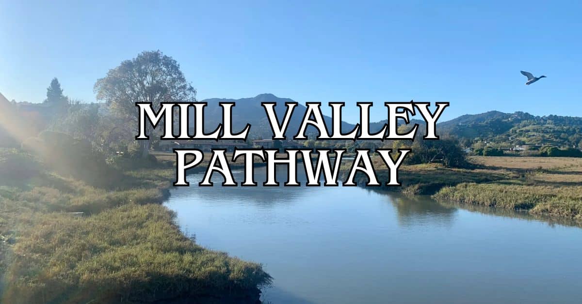
Mill Valley-Sausalito Pathway Travel Guide – Accessibility, Amenities, Activities, and More!
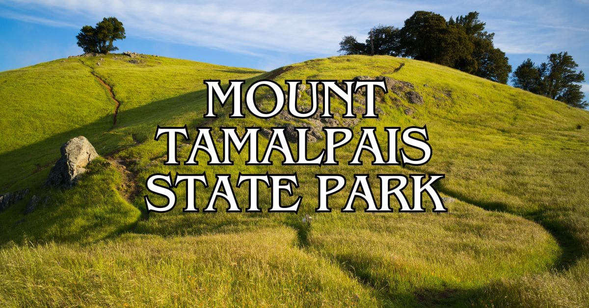
Mount Tamalpais State Park Travel Guide – Accessibility, Amenities, Activities, and More!
Muir Woods National Monument Travel Guide – Accessibility, Amenities, Activities, and More!
Pueblo Park Travel Guide – Accessibility, Amenities, Activities, and More!
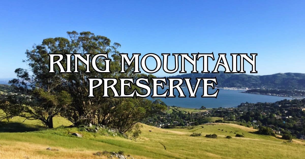
Ring Mountain Preserve Travel Guide – Accessibility, Amenities, Activities, and More!
San Pedro Mountain Preserve Travel Guide – Accessibility, Amenities, Activities, and More!
Santa Venetia Marsh Preserve Travel Guide – Accessibility, Amenities, Activities, and More!
Tennessee Valley Travel Guide – Accessibility, Amenities, Activities, and More!
Terra Linda/Sleepy Hollow Preserve Travel Guide – Accessibility, Amenities, Activities, and More!
White Hill Preserve Travel Guide – Accessibility, Amenities, Activities, and More!


