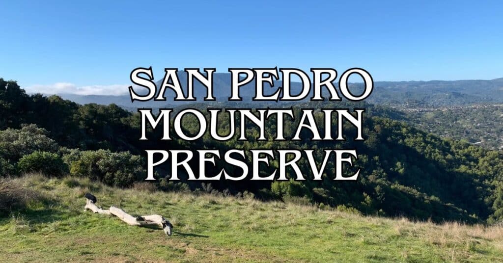
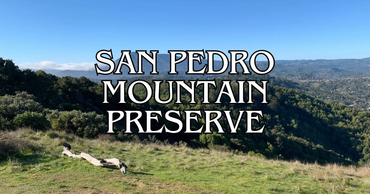
Rising behind Marin Civic Center, San Pedro Mountain Preserve gives you some of the most rewarding hiking trails in Marin. The forested slopes are a great way to escape city life, with winding paths through dramatic Franciscan geology and native woods. If you’re up for a steep climb to the summit, you’ll get some truly breathtaking views of San Pablo Bay and the Marin hills.
A network of trails and fire roads connects San Pedro Mountain with Santa Venetia and Santa Margarita Island Open Space preserves. You’ll likely share the paths with mountain bikers, but honestly, there’s usually space for everyone to do their thing. The terrain varies—some trails are mellow enough for a short stroll, while others will leave you catching your breath.
Discover hand-picked hotels and vacation homes tailored for every traveler. Skip booking fees and secure your dream stay today with real-time availability!
Browse Accommodations Now
If you’re planning a visit, don’t forget sturdy hiking shoes and plenty of water, especially when it’s hot. Some trails get steep, but the effort’s worth it for the views and the peace. Wildflowers pop up in spring, and fall brings cooler air—both are fantastic times to be out there.
Overview of San Pedro Mountain Preserve
San Pedro Mountain Preserve sits just minutes from San Rafael, offering forested slopes and challenging trails for hikers, cyclists, and equestrians. The place combines natural beauty with plenty of room for adventure.
History and Conservation
Marin County Parks manages the preserve, keeping the forested landscape intact as a green backdrop to the Marin Civic Center. They’ve worked to balance public access and environmental protection, focusing on native plant communities and wildlife habitats.
Unlike some of Marin’s more famous parks, San Pedro Mountain stays under the radar. That means fewer crowds and a quieter experience, which, honestly, is a big part of its charm.
Location and Accessibility
You’ll find the preserve on Marin’s east side, rising up above San Rafael and bordering San Pablo Bay. It’s easy to get to—a quick nature escape if you’re anywhere in the Bay Area.
There’s a dedicated trailhead and parking lot. Trails connect to the larger Marin County network, so you can really stretch your legs if you want. Most folks from the North Bay can get here in 30 minutes or less, which makes it a go-to for locals craving wilderness close to home.
Geographical Features
San Pedro Mountain’s a forested massif, with steep trails and wide-open summit views. If you’re into geology, the Franciscan mélange here is fascinating—lots of weird rocks and formations.
Some trails climb hard and fast, while others meander gently through the woods. Preserve maps show distances, so you can pick a route that fits your mood or energy level.
Up top, the views open up: San Pablo Bay, the Civic Center, and more. Trails wind through thick forests, keeping things cool and shady even when it’s blazing elsewhere.
Top Hiking Trails in San Pedro Mountain Preserve
There’s a little something for everyone here, from easy strolls to leg-burning climbs. The trails cut through forested slopes, with plenty of chances to spot local plants, wildlife, and those classic Bay Area vistas.
Main Trail Routes
San Pedro Mountain’s network of interconnected trails covers a lot of ground. Some of the main routes:
- San Pedro Mountain Trail – The central artery through much of the preserve
- Miwok Trail – A historic path with ties to the broader Bay Area trail system
- Ridge Trail – Runs along the mountain’s spine, with open stretches and big views
Most junctions have clear signage. You can do a quick 1-mile loop or link up trails for a 5+ mile adventure. If you’re feeling ambitious, the network connects to China Camp State Park, so you can keep exploring.
Difficulty Levels and Terrain
Trails range from moderate to tough. Here’s a rough breakdown:
- Easy: Not many flat stretches, but you’ll find some near the trailheads
- Moderate: Rolling hills, manageable elevation changes
- Difficult: Steep climbs to the summit—these will test your legs
Lower down, you’ll walk shaded paths through oak and bay trees, with soft dirt underfoot. Higher up, the trail gets rocky and exposed, so watch your step.
Most trails are open to hikers, bikers, and sometimes horses. In winter, expect mud—good shoes are a must.
Bay Views and Scenic Lookouts
Climbing San Pedro Mountain pays off with panoramic views. A few spots not to miss:
- Summit Viewpoint – Sweeping 360° views: San Francisco Bay, Richmond Bridge, Mount Tamalpais
- Eastern Ridge – Look out over the Civic Center and San Rafael
- Western Lookouts – On clear days, you might even spot the Pacific
If you’re chasing that perfect photo, early morning or late afternoon is best—the light’s just right. Fog likes to roll in during summer, which can make for some dramatic scenes as it burns off.
Wildflowers brighten up the trails in spring. If you’re into birding or just want to spot distant landmarks, bring binoculars.
Activities and Attractions
You can do a lot more than walk here. San Pedro Mountain Preserve has solid trails for hiking and biking, plenty of wildlife, and some peaceful places to stop for a snack.
Picnic Areas and Rest Stops
There are a few designated picnic areas—nothing fancy, just some tables and benches at scenic viewpoints. Bring your own food and water; you won’t find any vendors inside the preserve. Please, pack out your trash. No one likes a messy trail.
Rest stops pop up throughout the trail system, usually with some shade and a view. They’re perfect for catching your breath, especially on hot days.
Biking Opportunities
Mountain bikers love this place. The trails offer a mix of terrain for different skill levels.
Main routes for bikes:
- Perimeter Road – A moderate trail, wide enough for passing
- San Pedro Mountain Fire Road – Steep climbs, big views at the top
- Big Rock Ridge Trail – Links up with other trail systems nearby
Since most trails are multi-use, be courteous—yield to hikers and horses, and give a heads-up when you’re coming up behind someone. Bring extra water; those climbs can sneak up on you.
Wildlife Watching
The preserve’s got a surprising amount of wildlife. Early mornings and late afternoons are prime time.
You might spot:
- Deer picking their way through the woods
- Red-tailed hawks circling overhead
- Songbirds flitting through the oak woodlands
Give animals space and don’t feed them. Binoculars are a good call if you’re hoping to see more without getting too close.
Birdwatchers will love spring migration. And if fishing’s your thing, just remember you’ll need a California license for any nearby waterways.
Find the perfect hotel or vacation rental. Instant booking, no fees!
View Top Stays
Nearby Natural Attractions
San Pedro Mountain Preserve sits in the middle of some truly beautiful Marin landscapes. If you want to keep exploring, check out these nearby spots.
China Camp State Park
Just east of San Pedro Mountain, China Camp State Park hugs the San Pablo Bay shoreline. With 1,514 acres and 15 miles of trails, it’s a haven for hikers and bikers.
The park gets its name from a Chinese fishing village that thrived in the 1880s. You can still visit historic buildings and a small museum to learn about its past.
For bikers, the Shoreline Trail is an easy, scenic ride. Hikers will enjoy wildflowers along the Back Ranch Meadows trail in spring.
There’s a beach with picnic tables and swimming when it’s warm. And keep your eyes open—deer, foxes, and tons of bird species hang out here.
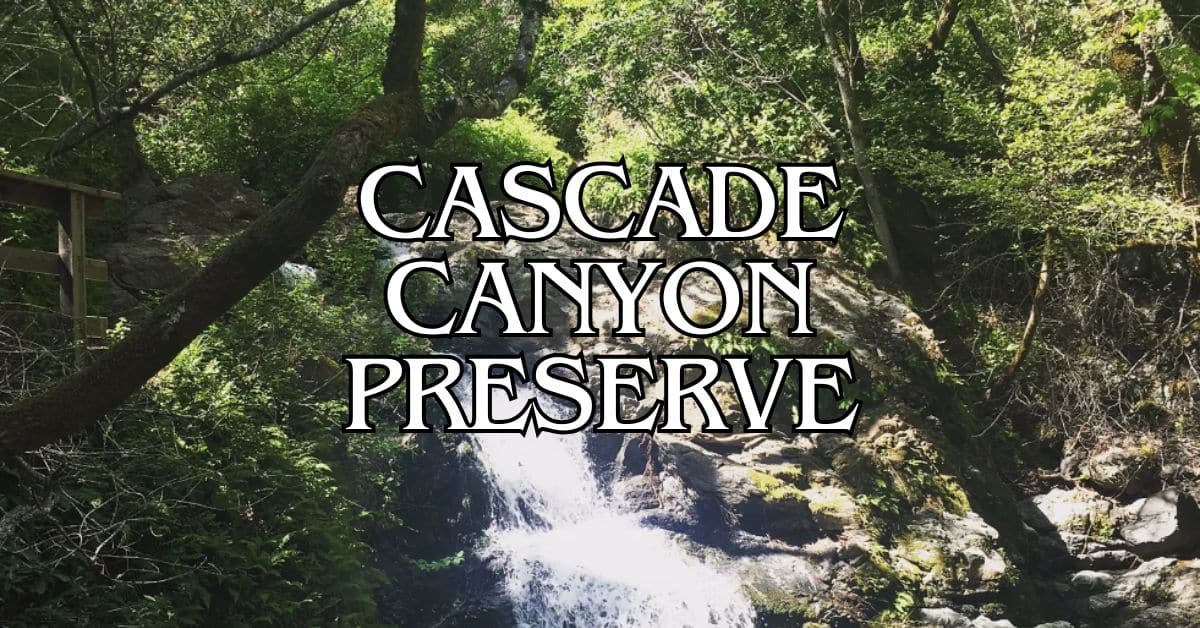
Cascade Canyon Open Space Preserve
To the west, Cascade Canyon is a peaceful woodland with streams that run all year. The 498-acre preserve’s highlight is Cascade Falls Trail—a 1.2-mile route to a waterfall that’s best after winter rains.
You’ll find black-tailed deer, coyotes, and lots of birds among the oak, bay, and madrone trees. Elliot Nature Preserve connects to Cascade Canyon, so you can extend your hike.
Spring is wildflower season: poppies, lupines, shooting stars, and more. Shaded canyons are a lifesaver on hot days.
Mount Tamalpais and Marin Headlands
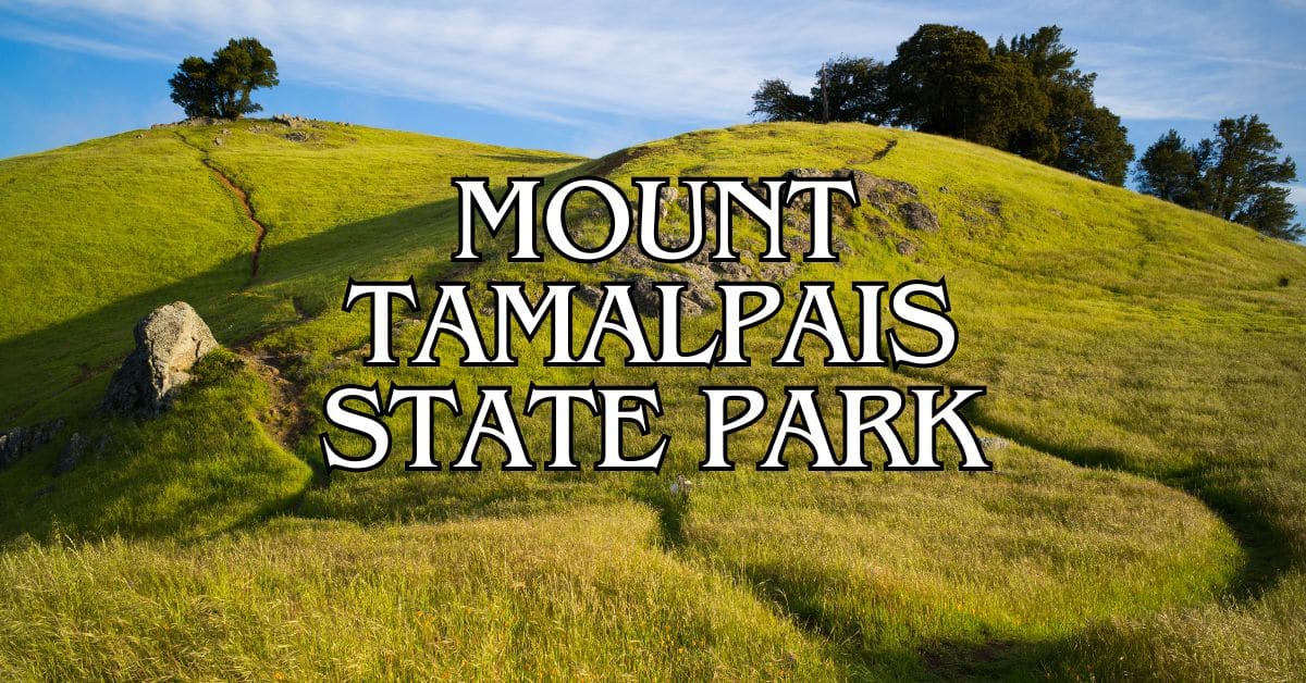
Mount Tamalpais—“Mt. Tam” to locals—towers over Marin at 2,571 feet. There are more than 50 miles of trails, with views stretching to the Pacific and, on rare clear days, even the Sierra Nevada.
Popular hikes include Matt Davis and Steep Ravine trails. The East Peak visitor center has info and exhibits on the area’s natural history.
The Marin Headlands, just south of Mt. Tam and part of the Golden Gate National Recreation Area, feature dramatic coastal scenery. Rodeo Beach has black sand, and the Coastal Trail serves up iconic Golden Gate Bridge views.
Phoenix Lake, at Mt. Tam’s base, offers a flat 2.7-mile loop—great for families. It’s a peaceful spot for a picnic or some birdwatching.
Visiting Tips and Safety Information
San Pedro Mountain Preserve is gorgeous, but you’ll want to be prepared to make the most of your day. The weather can shift, and the trails have their own quirks.
Best Times to Visit
Spring (March–May) is hard to beat—wildflowers everywhere, and temps usually between 60–75°F. Fall (September–November) brings crisp air and clear views, with fewer people on the trails.
Summer afternoons can get brutally hot (sometimes over 85°F), especially on exposed ridges. If you’re set on a summer hike, start early—before 9am is best.
Winter (December–February) can be beautiful and quiet, but watch for mud and slippery spots after rain. Good boots are non-negotiable.
Weather and Trail Conditions
Weather at San Pedro Mountain can shift fast—sometimes you’ll start out in sun and end up in fog. It’s smart to dress in layers you can peel off or toss on as things change. Even in summer, don’t skip a light jacket. The bay breezes can be surprisingly chilly.
Morning fog? Pretty common, especially in summer. It usually clears by mid-morning, but if you’re up high on the trail, visibility might get pretty limited for a while.
Trail conditions depend a lot on recent weather. Before heading out, take a quick look at the preserve’s website or ring up the ranger station—especially if it’s rained lately.
Bring more water than you think you’ll need. There aren’t any water sources on the trails, and between the sun and the hills, dehydration sneaks up on people.
Hazards and Poison Oak Precautions
Poison oak likes to hang out along the trail edges here. If you don’t know its “leaves of three” look, it’s worth checking photos before you go. Long pants and sleeves? Not a bad idea.
If you brush up against poison oak, wash the spot with soap and cold water as soon as you can. Stuff like Tecnu helps get rid of the rash-causing oil.
Mountain bikers share these trails, so keep your eyes and ears open—especially around blind corners. Yield to bikes if the signs say so, though bikes are supposed to yield to hikers most of the time.
You might spot coyotes or even rattlesnakes. Give all wildlife their space. Don’t try to feed or approach them. Making a bit of noise as you hike is a good way to avoid startling anything.
Family-Friendly Experiences
San Pedro Mountain Preserve has plenty for families who want to explore together. The gentle trails and educational opportunities make it a nice pick for visitors with kids of all ages.
Stafford Lake Nature Walks
The Stafford Lake area is great for families, with kid-friendly trails that are mostly flat and easy, with just a few gentle hills. Even toddlers can handle them with a little help.
Most people spend an hour or two on these walks, depending on how often you stop to check out wildlife. In spring (March–May), wildflowers pop up everywhere—perfect for photos or teaching kids about local plants.
Bring water and snacks since there aren’t any facilities along the trails. There are some shaded benches for breaks when little ones need to rest.
Educational Programs
The preserve puts on ranger-led programs for families with kids ages 5–12. These sessions run about 60–90 minutes and focus on local ecology, wildlife, and conservation.
Weekend “Junior Naturalist” workshops (April–October, 10am–11:30am) include hands-on stuff like:
- Identifying native plants
- Learning about wildlife through tracks and signs
- Exploring the geology of Franciscan mélange
- Studying seasonal watersheds
You’ll need to register for most programs. Check the Marin County Parks website for the latest schedule and to grab a spot—summer sessions fill up fast.
Luxury stays to cozy cottages await, all with instant booking. Find the best deals!
Browse Marin Stays
They mix things up with visual aids, hands-on activities, and guided observation, so different learning styles are covered.
How to Get There
San Pedro Mountain Preserve is easy to reach from lots of spots in Marin County. Which route you pick depends on where you’re coming from and how you’re traveling.
Directions from San Francisco and the Bay Area
From San Francisco, hop on Highway 101 north toward San Rafael. Take the North San Pedro Road exit and head east. The road winds through neighborhoods until you reach the preserve entrance.
Coming from elsewhere in the Bay Area on 101 southbound? Take the Central San Rafael exit. Turn right on 2nd Street at the first light, then left after one block to get onto North San Pedro Road, which takes you right to the preserve.
The drive from San Francisco usually takes 25–30 minutes if traffic’s light. On weekends, expect more hikers and cyclists out and about.
Public Transportation Options
Marin Transit gets you close to the preserve. Route 233 runs from the San Rafael Transit Center along North San Pedro Road. Use the Marin Transit Trip Planner to check schedules.
Golden Gate Transit also runs buses from San Francisco and other Bay Area spots to San Rafael. From there, transfer to local Marin Transit routes serving North San Pedro Road.
After you get off the bus, you’ll need to walk a short distance to the preserve entrance. Look up schedules ahead of time—weekends and holidays may have fewer buses.
Parking and Accessibility
There’s limited parking near the main entrance. On weekends or holidays, get there early—spaces fill up, especially in spring and summer.
Some street parking is available in nearby neighborhoods, but watch for restrictions and don’t block driveways. Always check the signs before you leave your car.
Main trails start off with a moderate climb. Some are accessible for folks with limited mobility, but most have quite a bit of elevation change and uneven ground.
The preserve is open sunrise to sunset daily. No entrance fees or permits for regular hiking.
Where to Stay Nearby
San Pedro Mountain Preserve is close to plenty of places to stay, from hotels to campgrounds. There’s something for just about every budget or style.
Lodging Options in Marin County
San Rafael is the closest for hotels—around 70 options nearby, from budget places to 4-star hotels within 13 miles of the trailhead. Lots of them offer free parking and breakfast.
Mill Valley and Sausalito also have hotels, so you can check out the preserve and other Marin attractions. These towns have boutique hotels with local character and killer views.
Fairfax is more about small inns and B&Bs for an intimate stay. You’ll often get personalized service and local hiking tips.
Camping and Outdoor Stays
China Camp State Park, right next to the preserve, has camping with basic amenities—fire rings, picnic tables, restrooms. Reserve ahead, especially in summer or on weekends.
Want something different? Try one of the “beachside bungalows” listed in Marin’s tourism info. You’ll be close to both the preserve and the coast.
There are also private campgrounds within 30 minutes’ drive. These usually have more amenities than state parks—think showers, sometimes even a small store.
Camping out means you can hit the trails early, before the crowds show up.
Exploring More of Marin County and the Bay Area Outdoors
Marin County has so many natural gems besides San Pedro Mountain. You’ll find everything from redwoods to beaches and wild open spaces, all within a short drive.
Muir Woods and Stinson Beach
Muir Woods National Monument is famous for its ancient redwoods—some over 250 feet tall and more than 1,000 years old. The walking paths through the forest follow Redwood Creek and are easy to stroll.
It gets crowded, especially on weekends. If you can, go before 9 AM or after 4 PM. You’ll need a reservation for parking or the shuttle.
Stinson Beach is just a quick drive from Muir Woods and is a great place to unwind after the forest. This sandy stretch runs 3.5 miles along the coast, with picnic spots, bathrooms, and a small town for food or coffee.
Point Reyes National Seashore
Point Reyes National Seashore covers 71,000+ acres of protected coastline and wild lands. You’ll find beaches, cliffs, grasslands, and forests all in one place.
Tomales Point Trail is a favorite for wildlife—this 9.5-mile roundtrip takes you through the Tule Elk Reserve, and you’ll probably see elk herds grazing out on the hills.
Tomales Bay State Park has calm beaches that are perfect for swimming or kayaking. It’s a good spot for families or anyone new to water sports.
Drake’s Beach, with its dramatic white cliffs and wide sandy shore, is usually less crowded and has decent facilities like restrooms and a visitor center.
Other Top Bay Area Parks
Samuel P. Taylor State Park gives you camping under redwoods plus easy hiking and biking along Lagunitas Creek, which is important for endangered Coho salmon.
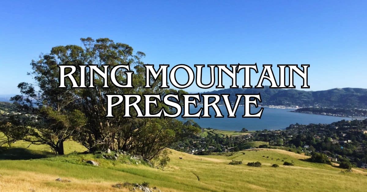
Ring Mountain Open Space Preserve is known for rare plants and amazing Bay views. The 367-acre preserve on the Tiburon Peninsula has some really interesting rock formations, too.
Angel Island State Park—only accessible by ferry—offers a one-of-a-kind Bay Area outing. Hike or bike the 5-mile loop for panoramic views of San Francisco, Marin, and the East Bay.
Mount Burdell Open Space Preserve has 1,600 acres of open grassland and oak woodland to explore. In spring, wildflowers are everywhere—March to May is especially beautiful.
Essential Preparation for Your Trip
If you’re planning a visit to San Pedro Mountain Preserve, a little prep goes a long way. The terrain is rugged and the weather can be unpredictable, so don’t just wing it.
Recommended Gear and Supplies
Hiking Essentials:
- Sturdy shoes or boots with good grip
- Layered clothes (Marin weather is fickle)
- Sun protection: hat, sunscreen, sunglasses
- At least 2 liters of water per person—more if it’s hot
- Trail map or an offline map on your phone
- First aid kit (don’t forget blister stuff)
Seasonal Tips: On warm days, start early to dodge the heat. Some trails have very little shade.
Bring insect repellent and check for ticks after your hike. Poison oak is everywhere, so make sure you know what it looks like.
A hiking pole can help on steeper bits, especially if your knees complain.
Trail Etiquette
Sharing the Trail: San Pedro Mountain trails are for everyone—hikers, mountain bikers, and horseback riders all mix here. Yield to horses, and honestly, keep an eye out for bikes, especially when you can’t see what’s around the bend.
Safety Practices:
- Stick to the marked trails so the wild stuff stays wild
- Let folks know you’re coming up behind them (nobody likes surprises)
- When you need to step aside, move to the downhill edge
- Dogs on leash—yep, that’s the rule
If you see a mountain biker, try to make eye contact—just a quick look so everyone knows what’s happening. Some parts of the trail are pretty narrow, so you’ll have to coordinate passing. It can get awkward, but a little patience goes a long way.
And please, whatever you bring in, take it out. That means snack wrappers, dog bags, all of it. There aren’t any trash cans out there, so it’s on all of us to keep the place clean.
Find available hotels and vacation homes instantly. No fees, best rates guaranteed!
Check Availability Now
Adrian Rosal Park Travel Guide – Accessibility, Amenities, Activities, and More!
Alto Bowl Preserve Travel Guide – Accessibility, Amenities, Activities, and More!
Bald Hill Preserve Travel Guide – Accessibility, Amenities, Activities, and More!
Baltimore Canyon Preserve Travel Guide – Accessibility, Amenities, Activities, and More!
Bayside Park Travel Guide – Accessibility, Amenities, Activities, and More!
Blithedale Summit Preserve Travel Guide – Accessibility, Amenities, Activities, and More!
Bothin Marsh Preserve Travel Guide – Accessibility, Amenities, Activities, and More!
Buck’s Landing Travel Guide – Accessibility, Amenities, Activities, and More!
Camino Alto Preserve Travel Guide – Accessibility, Amenities, Activities, and More!
Candy’s Park Travel Guide – Accessibility, Amenities, Activities, and More!
Cascade Canyon Preserve Travel Guide – Accessibility, Amenities, Activities, and More!
Charles F. McGlashan Pathway Travel Guide – Accessibility, Amenities, Activities, and More!
China Camp State Park Travel Guide – Accessibility, Amenities, Activities, and More!
Corte Madera Pathway Travel Guide – Accessibility, Amenities, Activities, and More!
Hal Brown Park Travel Guide – Accessibility, Amenities, Activities, and More!
Horse Hill Preserve Travel Guide – Accessibility, Amenities, Activities, and More!
King Mountain Preserve Travel Guide – Accessibility, Amenities, Activities, and More!
Lagoon Park Travel Guide – Accessibility, Amenities, Activities, and More!
Loma Alta Preserve Travel Guide – Accessibility, Amenities, Activities, and More!
Lucas Valley Park Travel Guide – Accessibility, Amenities, Activities, and More!
Lucas Valley Preserve Travel Guide – Accessibility, Amenities, Activities, and More!
McInnis Park Travel Guide – Accessibility, Amenities, Activities, and More!
McNears Beach Park Travel Guide – Accessibility, Amenities, Activities, and More!
Mill Valley-Sausalito Pathway Travel Guide – Accessibility, Amenities, Activities, and More!
Mount Tamalpais State Park Travel Guide – Accessibility, Amenities, Activities, and More!
Muir Woods National Monument Travel Guide – Accessibility, Amenities, Activities, and More!
Pueblo Park Travel Guide – Accessibility, Amenities, Activities, and More!
Ring Mountain Preserve Travel Guide – Accessibility, Amenities, Activities, and More!
San Pedro Mountain Preserve Travel Guide – Accessibility, Amenities, Activities, and More!
Santa Venetia Marsh Preserve Travel Guide – Accessibility, Amenities, Activities, and More!
Tennessee Valley Travel Guide – Accessibility, Amenities, Activities, and More!
Terra Linda/Sleepy Hollow Preserve Travel Guide – Accessibility, Amenities, Activities, and More!
White Hill Preserve Travel Guide – Accessibility, Amenities, Activities, and More!


