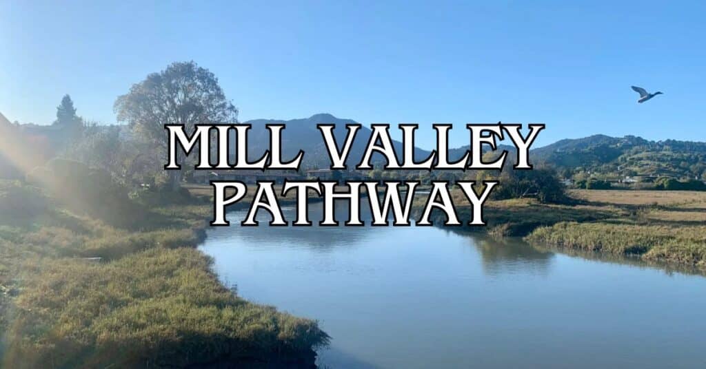
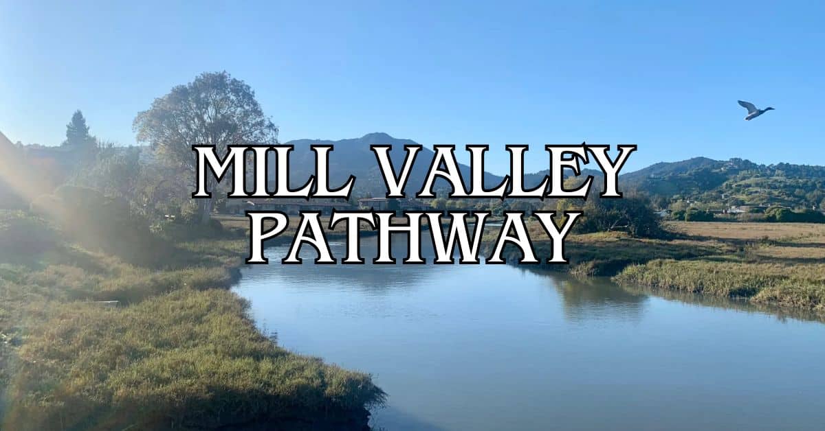
The Mill Valley-Sausalito Pathway stands out as one of Marin County’s most accessible outdoor experiences, drawing both visitors and locals. This flat, wide 3.7-mile route links two of the Bay Area’s most inviting towns, so it works for just about anyone. On an average day, around 2,500 people walk, run, or cycle this scenic corridor, using it for both recreation and commuting.
When you hit this multiuse path, you’ll see all sorts of folks: kids on their way to school, retirees out for a stroll, bike commuters weaving through. The trail’s popularity comes from its flat terrain and its spot between Mill Valley’s leafy neighborhoods and Sausalito’s waterfront, where you can find cafes, art galleries, and shops.
Discover hand-picked hotels and vacation homes tailored for every traveler. Skip booking fees and secure your dream stay today with real-time availability!
Browse Accommodations Now
You can do the full out-and-back trip in under three hours if you take it easy and linger at both ends. Sure, it gets crowded on weekends, but the car-free connection between these two Marin towns, plus those views, make it worth dodging a few bikes and strollers.
Exploring the Mill Valley-Sausalito Pathway
This pathway gives you a scenic 3.7-mile stretch between two charming Marin County towns. It’s open to everyone and works as both a practical way to get around and a destination in itself.
Route Overview
The pathway runs 3.7 miles from Mill Valley to Sausalito, sticking to a flat, wide route that’s easy to manage. You start near downtown Mill Valley and finish up by the Sausalito waterfront. Most folks finish the round-trip (about 9.1 miles) in under three hours if they’re taking it slow.
As you follow the path alongside Richardson Bay, you’ll get water views for much of the way. It cuts through wetlands, open spaces, and neighborhoods that really show off the area’s natural beauty.
The surface is paved and smooth, so walking, running, cycling, or even rollerblading all work well here. Signs are clear enough to keep you from getting lost at the few intersections.
Points of Interest Along the Path
Along the way, a few spots are worth checking out. Near the Mill Valley end, you can detour to the Mill Valley Public Library—a quiet place to rest or dig into some local history.
Find the perfect hotel or vacation rental. Instant booking, no fees!
View Top Stays
Richardson Bay’s wetlands are fantastic for wildlife watching. If you bring binoculars, you might spot some interesting birds. The tides change the scenery all day long.
Benches and picnic tables pop up along the route, usually right where the views are best. They’re great for a snack or just sitting and soaking it all in.
When you get to Sausalito, you’ll land near its well-known art galleries, shops, and waterfront restaurants. The downtown area is a pretty sweet reward at the end of your walk or ride.
Outdoor Activities and Experiences
This path is a real hub for outdoor fun. Cyclists—both casual and serious—love it, and you can rent bikes in either Mill Valley or Sausalito if you don’t have your own. Bird watchers flock here too, especially during migration season when the wetlands fill up with all kinds of species. Early mornings are best for spotting wildlife.
If you’re into photography, you’ll find endless chances to snap something cool, from sweeping bay views to Mount Tamalpais off in the distance. The light changes all day, so the mood of your photos will too.
The pathway connects to other trails, including routes toward the Marin Headlands and its hiking network. If you feel energetic, you can easily keep your adventure going.
Accessibility and Family-Friendly Features
The Mill Valley-Sausalito Pathway is friendly for everyone. Its flat, wide surface handles wheelchairs and strollers without a problem. Most of the time, you’ve got at least eight feet of space, so sharing the path feels pretty easy.
Families like the safety here. Most of the route keeps you away from cars, so it’s a safe spot for kids learning to ride bikes or just running ahead. Water fountains and bathrooms are scattered along the trail, though you’ll find more of them near the town ends—worth keeping in mind if you’re out with little ones.
You’ll see local students heading to school, commuters on bikes, and fitness buffs out for a run. That steady stream of people gives the path a community feel, and, honestly, it shows how much locals rely on it.
Luxury stays to cozy cottages await, all with instant booking. Find the best deals!
Browse Marin Stays
Planning Your Pathway Adventure
This pathway is a great way to get outdoors in Marin County. A little planning goes a long way toward making the most of this 3.7-mile paved route between two lively towns and some truly beautiful wetlands.
How to Get There and Transportation Options
You can jump on the pathway from a few places. The north end starts at Almonte Boulevard in Mill Valley; the southern end is close to downtown Sausalito.
Driving from San Francisco? Take Highway 101 to the Mill Valley/Stinson Beach exit (Highway 1). Both ends have parking, but you’ll find more spaces at the Mill Valley Community Center.
Public transit works too:
- Golden Gate Transit buses run from San Francisco
- Sausalito Ferry gets you across the bay (then just walk or bike to the path)
- SMART train to Larkspur, then hop on a bus
Cyclists can connect from the Bay Trail network, and you can rent bikes in either town. The flat route means just about anyone can handle it, no matter your skill level.
Nearby Destinations and Detours
The pathway’s location makes it easy to check out more of Marin County. In Mill Valley, you might want to stop by:
- Downtown shops and cafes (about half a mile from the path)
- Dipsea Stairs, if hiking is your thing
- Old Mill Park’s redwood grove
On the Sausalito side, it’s a quick trip to:
- Bay Model Visitor Center (maritime museum)
- Marin Headlands (for those iconic Golden Gate Bridge views)
- Richardson Bay Audubon Center
If you’re feeling ambitious, Mt. Tamalpais (locals just call it Mt. Tam) is reachable via connecting trails. The mountain gives you sweeping views of the Pacific, and if you’re up for more exploring, Tiburon and Angel Island are close by—just hop on a ferry from Sausalito.
Dining and Relaxation Spots
Both ends of the pathway have some solid spots to grab a bite or just unwind. In Mill Valley, you might want to check out:
- Equator Coffees if you need a caffeine boost before heading out
- Mill Valley Beer Works for a local brew or two
- Bungalow 44 if you’re in the mood for something a little fancier
Bayfront Park sits right along the path, with picnic tables and those classic bay views—honestly, not a bad place to take a breather.
Over in Sausalito, waterfront dining is kind of the thing. Try:
- Bar Bocce for laid-back pizza and a view of the water
- Fish, where they serve up sustainable seafood (always a plus)
- Sausalito Bakery & Cafe if you just want something quick
If you’re waiting for the ferry back to San Francisco, Sausalito’s terminal restaurants make for a convenient stop. The Trident’s patio, especially, has these sweeping bay and skyline views—hard to beat, honestly.
Find available hotels and vacation homes instantly. No fees, best rates guaranteed!
Check Availability Now
Adrian Rosal Park Travel Guide – Accessibility, Amenities, Activities, and More!
Alto Bowl Preserve Travel Guide – Accessibility, Amenities, Activities, and More!
Bald Hill Preserve Travel Guide – Accessibility, Amenities, Activities, and More!
Baltimore Canyon Preserve Travel Guide – Accessibility, Amenities, Activities, and More!
Bayside Park Travel Guide – Accessibility, Amenities, Activities, and More!
Blithedale Summit Preserve Travel Guide – Accessibility, Amenities, Activities, and More!
Bothin Marsh Preserve Travel Guide – Accessibility, Amenities, Activities, and More!
Buck’s Landing Travel Guide – Accessibility, Amenities, Activities, and More!
Camino Alto Preserve Travel Guide – Accessibility, Amenities, Activities, and More!
Candy’s Park Travel Guide – Accessibility, Amenities, Activities, and More!
Cascade Canyon Preserve Travel Guide – Accessibility, Amenities, Activities, and More!
Charles F. McGlashan Pathway Travel Guide – Accessibility, Amenities, Activities, and More!
China Camp State Park Travel Guide – Accessibility, Amenities, Activities, and More!
Corte Madera Pathway Travel Guide – Accessibility, Amenities, Activities, and More!
Hal Brown Park Travel Guide – Accessibility, Amenities, Activities, and More!
Horse Hill Preserve Travel Guide – Accessibility, Amenities, Activities, and More!
King Mountain Preserve Travel Guide – Accessibility, Amenities, Activities, and More!
Lagoon Park Travel Guide – Accessibility, Amenities, Activities, and More!
Loma Alta Preserve Travel Guide – Accessibility, Amenities, Activities, and More!
Lucas Valley Park Travel Guide – Accessibility, Amenities, Activities, and More!
Lucas Valley Preserve Travel Guide – Accessibility, Amenities, Activities, and More!
McInnis Park Travel Guide – Accessibility, Amenities, Activities, and More!
McNears Beach Park Travel Guide – Accessibility, Amenities, Activities, and More!
Mill Valley-Sausalito Pathway Travel Guide – Accessibility, Amenities, Activities, and More!
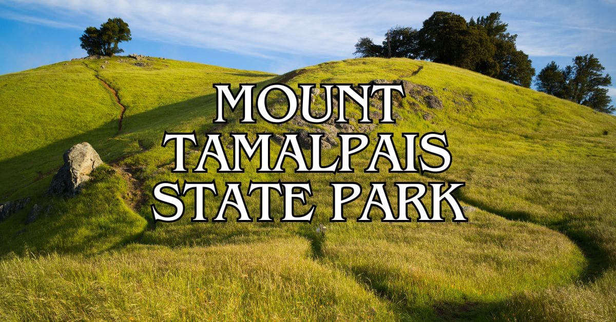
Mount Tamalpais State Park Travel Guide – Accessibility, Amenities, Activities, and More!
Muir Woods National Monument Travel Guide – Accessibility, Amenities, Activities, and More!
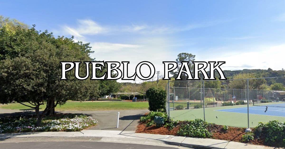
Pueblo Park Travel Guide – Accessibility, Amenities, Activities, and More!
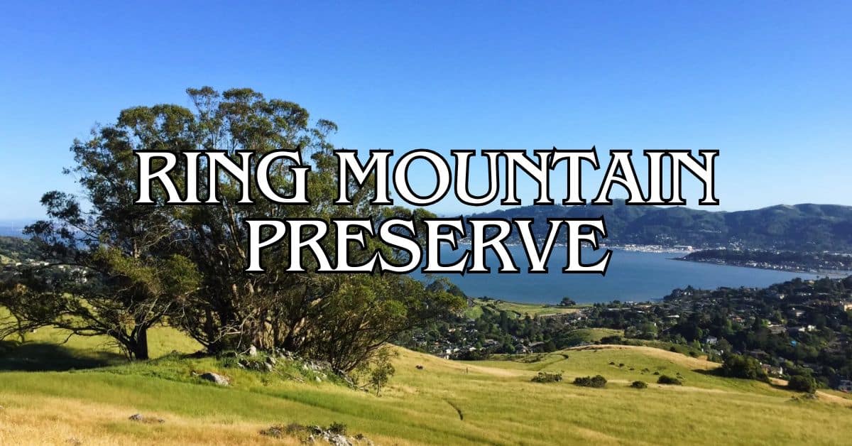
Ring Mountain Preserve Travel Guide – Accessibility, Amenities, Activities, and More!
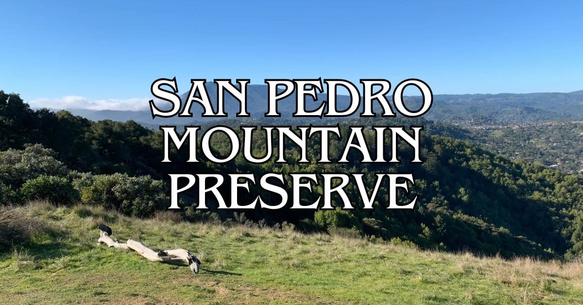
San Pedro Mountain Preserve Travel Guide – Accessibility, Amenities, Activities, and More!
Santa Venetia Marsh Preserve Travel Guide – Accessibility, Amenities, Activities, and More!
Tennessee Valley Travel Guide – Accessibility, Amenities, Activities, and More!
Terra Linda/Sleepy Hollow Preserve Travel Guide – Accessibility, Amenities, Activities, and More!
White Hill Preserve Travel Guide – Accessibility, Amenities, Activities, and More!


