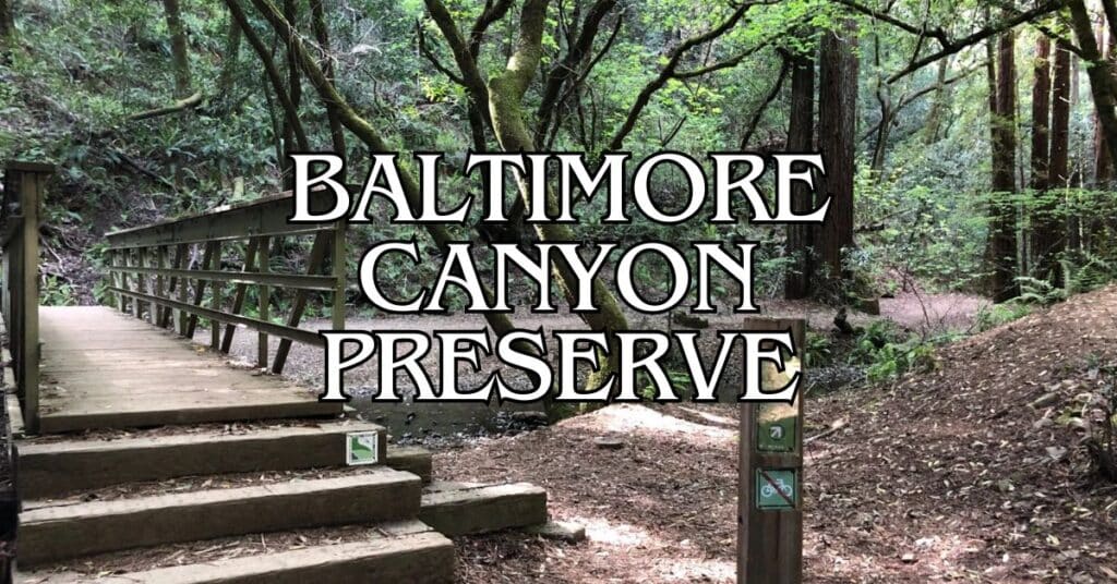
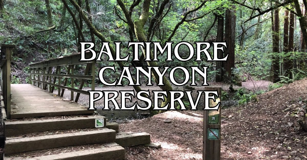
Tucked away in Marin County, Baltimore Canyon Preserve is a peaceful escape from the city grind. This 193-acre sanctuary has shaded trails that wind through a secluded canyon, drawing hikers, birdwatchers, and even the occasional horseback rider. The trail network is friendly for both casual walkers and folks who like a bit more challenge.
The real showstopper here is the 30-foot Dawn Falls, which puts on a wild display when the rains come down hard in winter. You’ll spot it along the Dawn Falls Trail, a favorite for anyone who loves a good waterfall. If you’re hoping to catch the falls at their most impressive, come during the wetter months—otherwise, you might just see a trickle.
Discover hand-picked hotels and vacation homes tailored for every traveler. Skip booking fees and secure your dream stay today with real-time availability!
Browse Accommodations Now
Beyond the waterfall, there’s a six-mile loop that really shows off the preserve’s variety. As you walk, you’ll catch glimpses of San Francisco Bay, all while staying cool beneath a dense canopy. The preserve links up with King Mountain, Blithedale Summit, and Camino Alto, so if you’re feeling adventurous, you can tack on a few more miles.
Overview of Baltimore Canyon Preserve
Baltimore Canyon Preserve spreads out over 193 acres of lush woodland in Marin County, with a secluded canyon, cascading waterfalls, and miles of scenic trails to explore.
History and Significance
Baltimore Canyon became a protected open space thanks to efforts to preserve its rare ecosystem and natural beauty. Dawn Falls, the 30-foot waterfall, really comes alive during winter and spring rains.
The canyon shelters some of Marin’s oldest redwood groves, with trees that have stood here for centuries. These giants keep the canyon cool and shaded.
It’s also an important watershed. Larkspur Creek runs through the canyon, supporting a surprising amount of wildlife and plant life that rely on this water.
Locals and conservation groups worked together to save this spot from development, making sure it stays wild for future generations.
Location and How to Get There
You’ll find Baltimore Canyon Preserve in southern Marin County, just outside Larkspur. There are several entry points, but the main trailhead sits on Crown Road.
From Highway 101, take the Sir Francis Drake exit toward Larkspur, then wind your way to Crown Road or Madrone Avenue for trail access.
Street parking is limited and fills up fast, especially on weekends and holidays. There’s no official parking lot, so show up early if you can.
If you’re coming by public transit, Marin Transit buses stop within walking distance of the trailheads.
The preserve is open sunrise to sunset. If you want to see Dawn Falls at its best, aim for late winter or early spring after a good rain.
Preserve Management and Regulations
Marin County Open Space District looks after Baltimore Canyon Preserve. Their rangers keep the trails in shape, protect the plants and animals, and make sure everyone stays safe.
A few must-know rules:
- Keep your dog on a leash
- Stick to marked trails—don’t go bushwhacking
- No smoking, fires, or camping
- Take your trash with you
- Bikes are only allowed on fire roads, not on the narrow trails
The Southern Marin Line Fire Road is mostly flat and great if you want an easier walk. If you’re up for more of a challenge, try the Dawn Falls Trail.
Trails get muddy after rain. Bring sturdy shoes and check the preserve website for any trail closures before heading out.
Planning Your Visit
A bit of planning goes a long way at Baltimore Canyon Preserve. The experience changes with the seasons, and there are some basics you’ll want to keep in mind for a safe, fun trip.
Best Time to Visit
Spring and fall are probably your best bets. From March to May, wildflowers pop up everywhere, and Dawn Falls is usually roaring after the winter rains. Fall (September-November) is quieter and the weather’s just right.
Summers can get warm, but the redwoods throw plenty of shade. If you want to avoid crowds, try for a weekday, and for parking, aim for before 10 am or after 2 pm on weekends.
The preserve is open sunrise to sunset, all year. There are no campsites—just day use. And there’s no drinking water on site, so bring what you need.
Weather Considerations
The canyon has its own little microclimate. Fog often rolls in during the summer mornings, but it usually burns off by midday.
Rain comes mostly in winter (December-February), which means muddy trails but also the best waterfall action. Always check the forecast before you go.
Typical temps:
- Spring: 55-70°F
- Summer: 60-80°F
- Fall: 55-75°F
- Winter: 45-60°F
Dress in layers. The canyon floor can be a good 10 degrees cooler than the ridges. Don’t skimp on good hiking shoes, especially if it’s wet.
Visitor Guidelines and Safety
Marin County Parks manages Baltimore Canyon, so you’ll need to follow their rules: dogs on leash, bikes only on fire roads, and absolutely no fires or smoking.
There’s no trash service—whatever you bring in, you haul out.
Parking is tight at the end of Crown Road in Kentfield (about 10 cars fit), and you can try nearby streets, but please be cool and don’t block driveways.
Cell service is spotty in the canyon. Let someone know your plans before you go. Poison oak is everywhere, so brush up on what it looks like.
Hiking Trails in Baltimore Canyon Preserve
You’ve got a handful of scenic trails to pick from at Baltimore Canyon. Whether you’re in the mood for a mellow stroll or something steeper with waterfalls and big trees, there’s a route for you.
Dawn Falls Trail
The Dawn Falls Trail is hands-down the most popular. It leads to that 30-foot waterfall, which is really something after a good rain. The main trailhead is at the end of Madrone Avenue in Larkspur, right where it meets Valley Way. Parking’s tight, so set your alarm if you want a spot.
This moderate 1.5-mile trail (3 miles round-trip) offers:
- A creekside path
- Footbridges over the water
- Wooden stairs where it gets steep
- A seasonal waterfall viewpoint
It starts out pretty flat, then gets steeper near the falls. You’ll wander through lush forests—redwoods, bay laurels, ferns. Spring brings wildflowers, and winter or early spring is prime time for the waterfall.
Ladybug Trail
Ladybug Trail is a quieter option, with gentle grades that suit most hikers. It connects with Dawn Falls Trail, so you can make a partial loop.
What you’ll find:
- Easy elevation changes
- Shaded forest path
- Trail connections
- Good chances to spot wildlife
If you’re lucky, you might see actual ladybugs in spring. The trail weaves through second-growth redwoods and stays cool on hot days. The path is mostly dirt, with the occasional root or rock to watch for.
Find the perfect hotel or vacation rental. Instant booking, no fees!
View Top Stays
King Mountain Loop Trail
King Mountain Loop links up Baltimore Canyon with King Mountain and Blithedale Summit preserves. It’s a tougher trail, but the views are worth it.
The loop:
- Is about 1.8 miles
- Has moderate to steep sections
- Connects to other preserves
- Offers panoramic views on clear days
You’ll hit some steep climbs, especially heading to King Mountain, but the payoff is big views—sometimes all the way to Mount Tam. If you want to get the tough part over with, hike it clockwise. Shade is a bit patchier here, so carry plenty of water.
Natural Features and Scenery
Baltimore Canyon Preserve is packed with natural beauty. Think towering redwoods, seasonal waterfalls, and native plants that shift with the seasons.
Redwood Groves and Forests
The redwood groves here are something else—massive, ancient trees that keep things cool and shaded, even in the heat. Some of these redwoods soar over 100 feet, creating a thick canopy that lets in just enough sunlight.
There’s also a good mix of tanoak and Pacific madrones. These native species add to the diversity and give wildlife plenty of places to hide. Ferns and mosses cover the ground, making the place feel almost prehistoric.
Come fall, you’ll see orange maple leaves here and there, splashing color into all that green. Honestly, the forest is beautiful year-round, but it really pops after a good winter rain.
Creeks and Waterfalls
Larkspur Creek snakes right through the canyon, adding a calming soundtrack to your hike. It’s at its best in winter and spring, when the rains really get it moving.
Dawn Falls is the main attraction—a 30-foot waterfall that’s most dramatic after heavy rain (usually December through April). In dry months, the falls might shrink to a trickle or even dry up.
You’ll also find smaller cascades along the creek. These spots make great places to stop and just take it all in.
Stone footbridges cross the creek in a few spots, which are perfect for photos or just a quiet moment.
Wildflowers and Native Plants
Spring lights up the preserve with wildflowers—California poppies, lupines, trillium, you name it—from March through May.
Plant communities shift depending on sun and moisture. Shady spots are full of ferns and other shade-lovers, while sunny areas have tougher, drought-resistant plants.
Some of the native plants you’ll spot:
- California blackberry
- Sword ferns
- Miner’s lettuce
- Redwood sorrel
- California bay laurel
A lot of these plants are uniquely adapted to redwood forests. The understory changes a lot with the seasons, and everything looks extra lush after winter rains.
Viewpoints and Scenic Vistas
Most of Baltimore Canyon is thick with trees, but a few higher trails open up to bigger views. The upper paths connect with Blithedale Summit Open Space, where you can look out over Mill Valley.
If it’s clear, you might catch a glimpse of San Francisco Bay from some of the higher points, especially along the King Mountain connector.
Fog often drifts through the canyon in the morning, creating a dreamy, almost mystical vibe—especially in summer when the coastal fog pushes inland.
The light changes all day long. Early morning and late afternoon are especially dramatic, with sunbeams slicing through the redwoods.
Accessibility and Trail Information
Baltimore Canyon Preserve has a mix of trails for all skill levels. Hikers are welcome year-round, and you’ll find maps at the trailheads to help you figure out where to go next.
Parking and Entry Points
Parking for Baltimore Canyon Preserve is mostly just street parking in the residential area near the trailhead—there’s no official lot. The main access is at the Dawn Falls trailhead, tucked right in a neighborhood. You’ll want to be considerate when parking; don’t block driveways or fire hydrants, and keep in mind that folks live here.
There are several ways into the preserve, but Dawn Falls Trail is the go-to for most people. It’s a great launchpad for exploring the canyon.
Trail Difficulty Levels
Baltimore Canyon Preserve’s trails climb anywhere from 354 to 1,673 feet, so there’s something for everyone. Dawn Falls Trail is moderately tough—some steep stretches, but most people with basic fitness can manage it.
If you’re new to hiking, stick to the lower, gentler sections. More seasoned hikers can take on the higher elevation trails for extra challenge.
Trail conditions change with the seasons. Rain makes some paths muddy or slick, so good shoes are a must.
Dogs are welcome! Just keep them leashed on regular trails. On fire roads, dogs can be under voice command, but you’ll need a leash handy.
Maps and Navigation
You can grab trail maps for Baltimore Canyon Preserve from Marin County Parks. These maps show all the trails, fire roads, and how the preserve connects to King Mountain, Blithedale Summit, and Camino Alto Open Space.
Find maps:
- Online at the Marin County Parks website
- At some trailheads
- At visitor centers around the Bay Area
Most trails are well-marked, but it’s smart to bring a map, especially if you’re wandering off the main loops. Trails often connect, so you can make your hike as long or short as you like.
If it’s your first time, the Dawn Falls Trail loop is a solid intro to the canyon.
Nearby Towns and Communities
Baltimore Canyon Preserve is surrounded by Marin County towns that add extra flavor to your visit—good food, fun shops, and a bit of local character.
Larkspur
Larkspur sits right next to Baltimore Canyon. The downtown’s got a historic vibe, with Magnolia Avenue lined by old trees and preserved buildings from the 1800s.
Food-wise, Picco Restaurant serves up wood-fired pizza and California-style dishes, while Emporio Rulli is the spot for Italian pastries and coffee that feel straight out of Europe.
For shopping, check out Marin Country Mart near the ferry terminal—boutiques, and a lively farmers market on Saturdays. The Lark Theater is a restored art deco cinema from 1936, showing indie films and hosting events.
Several trailheads link Larkspur directly to Baltimore Canyon, so it’s a perfect home base for hikers.
San Rafael
About 15 minutes north, San Rafael is Marin’s biggest city. The action centers on Fourth Street—loads of restaurants, shops, and cultural spots.
Luxury stays to cozy cottages await, all with instant booking. Find the best deals!
Browse Marin Stays
Sol Food is famous for its Puerto Rican dishes, and Aroma Café is a cozy place to grab coffee before or after your hike.
Mission San Rafael Arcángel dates back to 1817 and gives you a peek into California’s Spanish colonial past. You can check out the mission and stroll its gardens any time.
The Rafael Film Center, run by the California Film Institute, screens indie and international films in a beautifully restored old theater.
San Rafael’s Thursday night farmers market (April–September) is worth a visit—fresh produce, crafts, and live music.
Tiburon
Tiburon’s perched on a peninsula about 20 minutes from Baltimore Canyon and has knockout views of San Francisco Bay. Main Street hugs the waterfront, with shops and restaurants in old converted buildings.
Sam’s Anchor Café is all about waterfront dining—big outdoor deck, bay breezes. Salt & Pepper is a cozier spot for modern American food.
From Tiburon, you can catch the Angel Island Ferry to hike and explore Angel Island State Park.
The peninsula also has more hiking at Old St. Hilary’s Open Space Preserve—wildflowers in spring, panoramic bay views.
The Tiburon Railroad & Ferry Depot Museum tells the story of local transportation, set inside the restored 1884 depot.
Other Outdoor Activities
Baltimore Canyon Preserve isn’t just for hiking. There are plenty of other ways to enjoy the natural beauty of Marin County.
Biking and Running
Some trails in the preserve work for mountain biking, especially the main fire road—moderate ride, lovely forest views. Bikers need to yield to hikers and check which trails allow bikes.
Dawn Falls Trail is too steep and narrow for bikes, so stick to the connecting routes for longer rides.
Runners love the preserve for its mix of climbs and easy stretches. Early mornings are best—cool, quiet, and less crowded.
Bring your own water; there aren’t any drinking fountains in the preserve.
Fishing and Wildlife Observation
You can’t fish in Baltimore Canyon itself, but Larkspur Creek nearby connects to legal fishing spots. Always check local rules before you cast.
Wildlife watching is rewarding year-round. The preserve is home to salamanders, toads, lizards—bring binoculars if you’re into spotting the local birds that nest in the redwoods.
Spring brings wildflowers—California poppies, lupines, trillium along the trails. March through May is prime time.
Photographers love the dappled light under the redwoods, especially after rain near Dawn Falls.
Camping and Accommodation
You can’t camp overnight in Baltimore Canyon Preserve, but there are campgrounds nearby in Marin County. Picking the right spot and prepping ahead will make your trip smoother.
Campsite Options in the Area
Bicentennial Campground in Mount Tamalpais State Park is the closest official site—about 7 miles west. It’s small and first-come, first-served, so show up early, especially on weekends. No reservations.
Haypress Camp, in Tennessee Valley, is more rustic. There are five hike-in sites (book ahead through the National Park Service). Each has a picnic table and food storage box, fits up to four people.
If you prefer comfort, Larkspur has hotels and B&Bs just a quick 5-minute drive from the preserve.
Essential Tips for Campers
Camping near Baltimore Canyon? Be ready for quick weather changes. Even in summer, fog can roll in at night—pack layers.
Bring:
- A tent with a rain fly (fog happens)
- Sleeping bag rated for 40°F (yes, even in summer)
- Water filter or enough water
- Bear-proof food container
Fires are banned in most Marin campgrounds—use a camp stove instead.
Cell service is spotty around Mount Tamalpais. Download your maps ahead of time and let someone know your plans.
Most nearby sites don’t have drinking water. Bring at least a gallon per person per day, and fill up in towns like Mill Valley or Larkspur.
Nearby Parks and Attractions
Baltimore Canyon Preserve is in the middle of some truly great parks—ideal if you want to branch out and see more of Marin’s wild side.
Mount Tamalpais
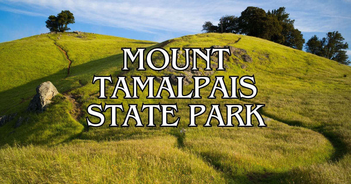
Mount Tamalpais (locals just call it “Mt. Tam”) rises to 2,571 feet. From Baltimore Canyon, you can hop onto fire roads that lead up the mountain’s north slopes. There are 50+ miles of trails through redwoods, oaks, and grasslands.
East Peak Visitor Center has maps and info on the mountain’s backstory. On a clear day, the views stretch across the Bay Area, out to the Farallon Islands, and sometimes even the Sierra Nevadas.
Popular spots:
- Pantoll Ranger Station (trailhead)
- East Peak (the big view)
- Azalea Hill (spring wildflowers)
- Barnabe Peak (killer vistas)
The mountain also hosts events like the Mt. Tam Hill Climb bike race.
Muir Woods National Monument
A short drive from Baltimore Canyon, Muir Woods National Monument protects 554 acres of ancient redwoods—some trees are over 250 feet tall and more than 1,000 years old.
The main trail is a flat, easy 1-mile loop on boardwalks. For more adventure, try the Ben Johnson or Dipsea trails that climb out of the valley.
You’ll need reservations for Muir Woods ($8.50 per person, plus parking or shuttle). Book at gomuirwoods.com up to 90 days ahead.
Nearby, Muir Beach is a quiet spot to unwind. The overlook there has dramatic coastal views.
Point Reyes National Seashore
Point Reyes National Seashore, about 30 miles northwest, covers 71,000 acres of coastline, forests, and grasslands. The peninsula juts into the Pacific, creating incredible habitats.
Top sights:
- Bear Valley Visitor Center (info and exhibits)
- Point Reyes Lighthouse (history and ocean views)
- Tomales Point Trail (watch for tule elk)
- Limantour Beach (pristine sand)
- Chimney Rock (spring wildflowers)
There are over 150 miles of trails. Drakes Beach is good for swimming, and Abbotts Lagoon is a birdwatcher’s paradise.
Fog is common, especially in summer—bring layers. Camping here needs a permit, and they go fast in peak season.
Exploring Marin County and the Bay Area
Marin County is packed with outdoor adventures and easy access to some of the Bay Area’s best natural spots. It’s really the perfect mix—coastal views, redwoods, and trails that make for great day trips.
Notable Bay Area Outdoor Destinations
The Presidio in San Francisco offers amazing Golden Gate Bridge views and plenty of walking paths. Crissy Field has flat trails along the water, sandy beaches, and picnic spots. Baker Beach serves up dramatic bridge views with the Pacific stretching out in front of you.
Point Bonita Lighthouse sits on coastal cliffs—guided tours on weekends are a treat. Hawk Hill is a favorite for sweeping views of San Francisco, especially in fall when raptors migrate overhead.
If you’re into beaches, Ocean Beach runs along the city’s western edge. Black Sands Beach is a hidden cove with unusual dark sand. Kirby Cove is tiny but has postcard-perfect Golden Gate Bridge photo ops.
Recommended Day Trips
Half Moon Bay is a classic for a reason—charming downtown, rugged beaches, and seafood spots that actually live up to the hype. The coastal trail hugs the bluffs, letting you soak up those wild Pacific views. If you swing by in autumn, you’ll catch the pumpkin farms in full swing, and the festival is honestly a blast.
Devil’s Slide has this paved path tracing the old Highway 1, perched right above the ocean. It’s dramatic, a little windy, and the views are just unreal. You’ll find it between Pacifica and Half Moon Bay, and it’s worth the stop, even if just for a quick photo.
Mori Point in Pacifica is a favorite for coastal hikes—sometimes you’ll spot wildflowers, sometimes whales, or maybe just a bunch of locals out for a stroll. If you want a quieter spot, Milagra Ridge is nearby and gives you those sweeping ocean views without the crowds.
Glen Canyon Park is kind of a hidden gem inside San Francisco itself. Step into the canyon, follow the creek, and suddenly the city noise melts away. It’s wild how much it feels like you’ve left the city behind.
Find available hotels and vacation homes instantly. No fees, best rates guaranteed!
Check Availability Now
Adrian Rosal Park Travel Guide – Accessibility, Amenities, Activities, and More!
Alto Bowl Preserve Travel Guide – Accessibility, Amenities, Activities, and More!
Bald Hill Preserve Travel Guide – Accessibility, Amenities, Activities, and More!
Baltimore Canyon Preserve Travel Guide – Accessibility, Amenities, Activities, and More!
Bayside Park Travel Guide – Accessibility, Amenities, Activities, and More!
Blithedale Summit Preserve Travel Guide – Accessibility, Amenities, Activities, and More!
Bothin Marsh Preserve Travel Guide – Accessibility, Amenities, Activities, and More!
Buck’s Landing Travel Guide – Accessibility, Amenities, Activities, and More!
Camino Alto Preserve Travel Guide – Accessibility, Amenities, Activities, and More!
Candy’s Park Travel Guide – Accessibility, Amenities, Activities, and More!
Cascade Canyon Preserve Travel Guide – Accessibility, Amenities, Activities, and More!
Charles F. McGlashan Pathway Travel Guide – Accessibility, Amenities, Activities, and More!
China Camp State Park Travel Guide – Accessibility, Amenities, Activities, and More!
Corte Madera Pathway Travel Guide – Accessibility, Amenities, Activities, and More!
Hal Brown Park Travel Guide – Accessibility, Amenities, Activities, and More!
Horse Hill Preserve Travel Guide – Accessibility, Amenities, Activities, and More!
King Mountain Preserve Travel Guide – Accessibility, Amenities, Activities, and More!
Lagoon Park Travel Guide – Accessibility, Amenities, Activities, and More!
Loma Alta Preserve Travel Guide – Accessibility, Amenities, Activities, and More!
Lucas Valley Park Travel Guide – Accessibility, Amenities, Activities, and More!
Lucas Valley Preserve Travel Guide – Accessibility, Amenities, Activities, and More!
McInnis Park Travel Guide – Accessibility, Amenities, Activities, and More!
McNears Beach Park Travel Guide – Accessibility, Amenities, Activities, and More!
Mill Valley-Sausalito Pathway Travel Guide – Accessibility, Amenities, Activities, and More!
Mount Tamalpais State Park Travel Guide – Accessibility, Amenities, Activities, and More!
Muir Woods National Monument Travel Guide – Accessibility, Amenities, Activities, and More!
Pueblo Park Travel Guide – Accessibility, Amenities, Activities, and More!
Ring Mountain Preserve Travel Guide – Accessibility, Amenities, Activities, and More!
San Pedro Mountain Preserve Travel Guide – Accessibility, Amenities, Activities, and More!
Santa Venetia Marsh Preserve Travel Guide – Accessibility, Amenities, Activities, and More!
Tennessee Valley Travel Guide – Accessibility, Amenities, Activities, and More!
Terra Linda/Sleepy Hollow Preserve Travel Guide – Accessibility, Amenities, Activities, and More!
White Hill Preserve Travel Guide – Accessibility, Amenities, Activities, and More!


