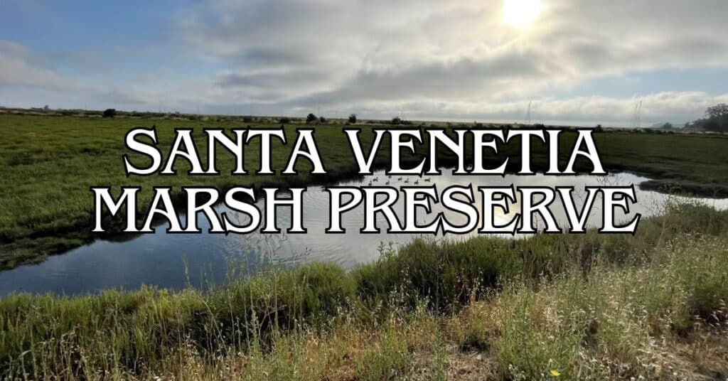
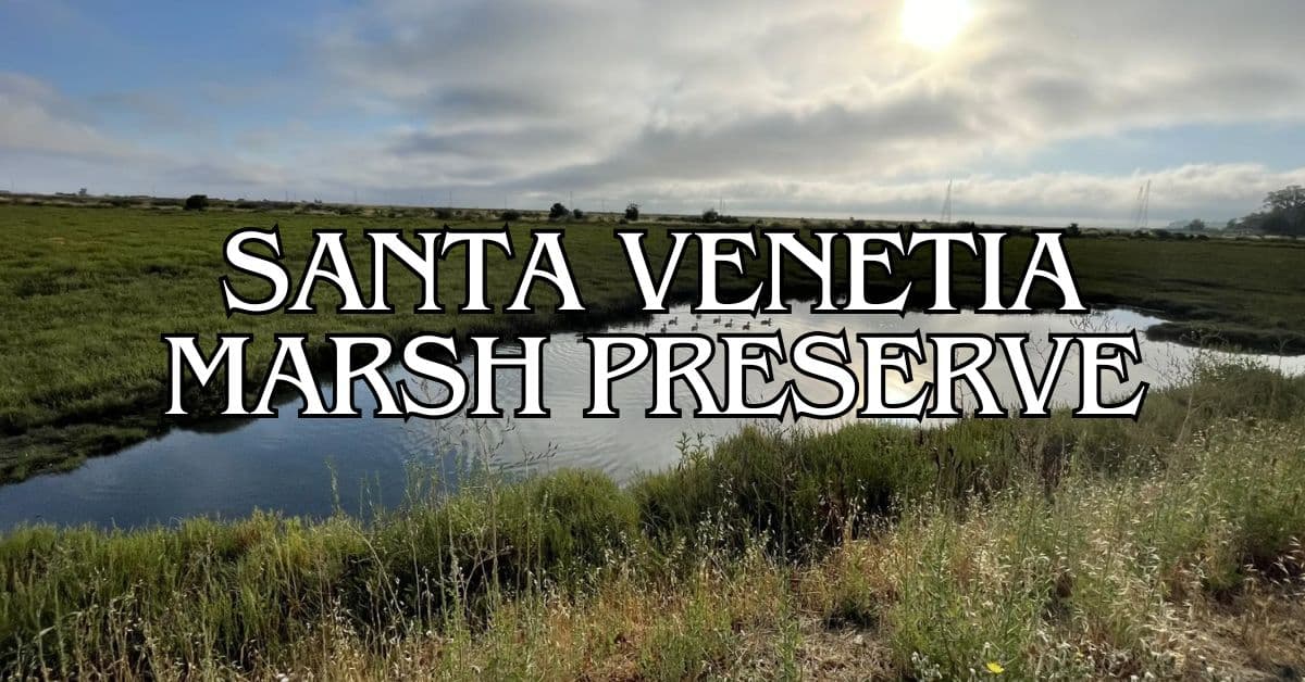
Tucked away in a San Rafael neighborhood, Santa Venetia Marsh Preserve is the kind of place you’d almost miss if you weren’t looking for it. This little patch of wetland offers a peaceful escape from city noise, with a 1.2-mile loop trail most folks can finish in about 20 minutes. It’s a haven for sensitive marsh ecosystems and a sweet spot for birdwatching and easy walks.
If you’re planning a visit, stick to the marked trails—these marshes are fragile, and the neighbors appreciate their privacy. Don’t expect big park amenities here like at Las Gallinas; it’s barebones, but that’s honestly part of the appeal. Bring your own water and layer up, since Marin’s weather can flip on you, especially in spring.
Discover hand-picked hotels and vacation homes tailored for every traveler. Skip booking fees and secure your dream stay today with real-time availability!
Browse Accommodations Now
Santa Venetia Marsh links up with Santa Margarita Island and San Pedro Mountain Open Space, so you can stretch your legs even farther if you’re feeling ambitious. It may be smaller than other Marin parks, but it’s perfect for a quick dose of nature and wildlife without leaving San Rafael.
Overview of Santa Venetia Marsh Preserve
Santa Venetia Marsh Preserve is 33 acres of wetland with a 1.2-mile trail—ideal for hiking, biking, and wildlife spotting. It’s low-key, but offers both a break from the daily grind and a bit of ecological magic.
Location in Marin County
You’ll find Santa Venetia Marsh tucked into a residential area in Marin’s North Bay. It sits right next to San Pablo Bay, making it part of the bigger San Francisco Bay ecosystem.
Access is through the Santa Venetia neighborhood. Sure, it’s smaller than some other wetlands, but it’s easy for locals and visitors to reach.
Nearby, you’ve got Las Gallinas and China Camp State Park if you want more trails or facilities. Santa Venetia Marsh makes a convenient stop if you’re hopping around North Bay’s natural spots.
History of the Preserve
This area used to be part of a vast wetland system around San Francisco Bay. Over the last century, development changed a lot of that landscape.
What’s left now is protected wetland habitat. Local conservationists stepped up to save this slice from getting paved over.
The main trail—now a levee—was originally built for flood control. These days, it gives visitors a raised path to enjoy the marsh without trampling sensitive areas.
Conservation and Ecological Importance
Santa Venetia Marsh is a key player in the Bay Area’s ecosystem. Wetlands here help clean the water flowing into San Pablo Bay.
You’ll run into plenty of wildlife:
- Birds: Waterfowl, shorebirds, raptors
- Small mammals: Mice, rabbits
- Marine life: In tidal channels
The thick wetland plants stop erosion and offer shelter to all sorts of critters. Even though it’s a small preserve, it’s part of a bigger network keeping Bay Area biodiversity alive.
Getting to Santa Venetia Marsh Preserve
Getting here is pretty straightforward, with transportation options for all sorts of travelers.
Directions from San Rafael and Surrounding Cities
From downtown San Rafael, drive north on Highway 101 about 3 miles, take the North San Pedro Road exit, then right onto North San Pedro Road for about a mile. Take a left at Rosal Way—look for 851 Rosal Way.
From Mill Valley, head north on 101 for 8 miles, then follow the same route. From Fairfax, go east on Sir Francis Drake to 101, then north and follow the San Rafael directions.
If you’re coming from elsewhere in the North Bay, just get onto 101 and follow signs to North San Pedro Road.
Parking Tip: Street parking’s limited near the entrance. On weekends, show up early if you want a spot.
Public Transit and Accessibility
Marin Transit’s Route 233 runs hourly on weekdays from San Rafael Transit Center to Santa Venetia, with a stop on North San Pedro Road.
Golden Gate Transit also serves nearby stops from San Francisco and other Marin spots.
Cyclists can use North San Pedro Road—some sections have bike lanes. There aren’t any bike racks at the entrance, so bring a lock.
The trail itself is a flat, 1.2-mile levee loop. It’s wheelchair accessible when dry, but after rain, the unpaved surface can get messy.
Recreational Activities in the Preserve
Santa Venetia Marsh Preserve is a solid spot for soaking up Marin’s wetlands. There’s enough space for active folks and those just looking to chill with nature.
Hiking and Paved Trails
The main attraction is the 1.2-mile paved trail along the levee. It’s flat, easy, and works for all ages. The path is wide enough for walkers, joggers, and the occasional cyclist.
You’ll see people:
- Walking, jogging
- Walking dogs (leash up, please)
- Casual biking
- Birdwatching with binoculars
The trail connects to paths in the Las Gallinas Valley Sanitary District, so you can wander further if you want. It’s kept in good shape, though puddles can pop up after a big rain.
Weekends get busier, especially with families. If you want some quiet, try a weekday morning.
Wildlife and Birdwatching
This marsh is a magnet for birds. If you’re into birdwatching, bring your binoculars.
Expect to spot:
- Great blue herons
- Snowy egrets
- Red-winged blackbirds
- Ducks galore
- Hawks overhead
Most birds keep their distance, so patience helps. Early mornings or late afternoons are best for sightings.
Besides birds, you might catch sight of rabbits or ground squirrels. The marsh’s small fish attract wading birds. In spring, wildflowers pop up along the trail, adding a splash of color.
Kayaking on Gallinas Creek
Gallinas Creek runs along the preserve and is a nice spot for kayaking. You can launch a small craft nearby and paddle through calm, tidal waters.
What you’ll find:
- Easy water for beginners
- Great views of marsh birds
- A different angle on the preserve
Just check the tides—at low tide, it can get too shallow. Look up tide tables or ask at local outdoor shops for tips.
Find the perfect hotel or vacation rental. Instant booking, no fees!
View Top Stays
The area connects to more waterways if you’re up for a longer paddle. Bring water and sunblock—shade is rare on the creek.
Picnicking and Scenic Spots
No picnic tables here, but there are benches along the trail for a snack or a breather. Some favorite spots:
- Northeast corner with views of San Pedro Mountain
- Overlooks of the marsh’s center
- Western end with a Mount Tamalpais panorama
There’s not much shade, so hats and sunscreen are smart. Morning fog usually burns off by midday, revealing those classic Bay Area skies.
Pack a light picnic if you like, but take your trash out—there aren’t many bins or facilities.
Flora and Fauna of the Wetlands
Santa Venetia Marsh is a lifeline for all sorts of plants and animals. It’s a buffer between suburbia and the Bay, and a pocket of wildness in a busy region.
Native Plant Communities
The marsh is full of salt-tolerant plants adapted to tidal life. Pickleweed forms thick mats, perfect for little critters to hide in. Cordgrass grows along the channels, filtering runoff and holding the banks together.
There’s also salt grass and gumplant for variety. Watch out for poison oak—three shiny leaves, so steer clear. Spring brings wildflowers along the trail.
Plant communities change with elevation and salt exposure. Higher ground supports tougher, drought-tolerant plants, while lower, flooded areas host aquatic specialists.
Migratory and Resident Birds
It’s a year-round birdwatcher’s spot. Northern harriers fly low over the grass, hunting. The endangered Ridgeway’s Rail hides in the thick stuff—good luck spotting one!
During migration, shorebirds pick through the mudflats. Bring binoculars to ID sandpipers, egrets, and herons.
Winter brings flocks of waterfowl on the Pacific Flyway. Resident birds like sparrows and red-winged blackbirds nest in the tall grass.
Fish swim in the marsh channels, feeding the birds and keeping the ecosystem humming.
Visitor Facilities and Amenities
Santa Venetia Marsh Preserve keeps it simple. You’ll find the basics for a quick visit, but don’t expect frills.
Parking and Trailhead Information
Parking’s limited but usually enough for the usual flow. There’s a small, unpaved lot at the entrance—maybe 8-10 cars. If that’s full, try street parking, but watch for neighborhood rules.
At the trailhead, there’s an info kiosk with:
- A trail map
- Wildlife facts
- Preserve rules
- Seasonal updates
No parking fees—just show up and go. On weekends or in spring/summer, get there early to beat the crowd.
Restrooms and Showers
There aren’t any restrooms or showers at the preserve. Plan ahead and use the bathroom before you arrive. The closest public restrooms are at Pueblo Park, about 10 minutes away.
For a day hike, pack:
- Water (no fountains)
- Hand sanitizer
- Any personal items you might need
No picnic tables here, but you can bring a blanket for a quick rest.
Nearby Attractions and Preserves
Santa Venetia Marsh sits in the middle of a bunch of great Marin County nature spots. If you’re up for more exploring, you’ve got options nearby.
Deer Island Open Space Preserve
Deer Island Open Space Preserve is just east of Santa Venetia. It covers 154 acres and has a 1.8-mile loop trail with some mild hills—great views of wetlands and Mount Tamalpais.
Wildlife is everywhere: deer, hawks, songbirds. Spring brings wildflowers like poppies and lupines.
Parking is limited at the Deer Island Lane trailhead. No water or restrooms, so bring what you need. Dogs are allowed on leash.
If you want a quieter hike, go in the morning. It’s less crowded than some Marin hotspots, and you’ll have a peaceful walk.
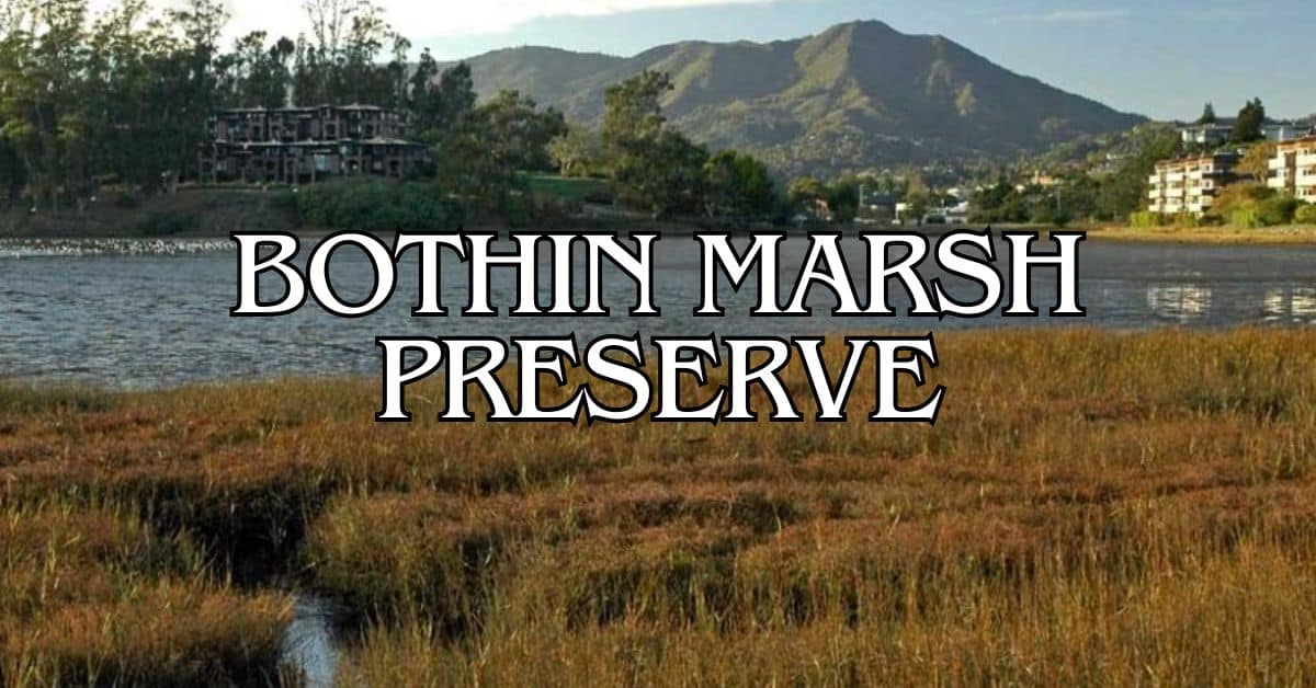
Bothin Marsh Open Space Preserve
Bothin Marsh Open Space Preserve hugs Richardson Bay in Mill Valley, about 15 minutes from Santa Venetia. This 106-acre wetland has a flat, accessible 2-mile path that draws walkers, joggers, and cyclists.
The Mill Valley-Sausalito Path runs right through the preserve, with some pretty great views of Mount Tamalpais and San Francisco Bay. At low tide, you’ll spot shorebirds poking around in the mudflats.
Wildlife viewing highlights:
- Great blue herons
- Snowy egrets
- California clapper rails
- Harbor seals (look offshore for them)
Getting here’s easy from Highway 101, and there’s parking at the Hauke Park lot. Unlike Santa Venetia Marsh, Bothin Marsh actually has restrooms—just head to nearby Bayfront Park.
Cascade Canyon Open Space Preserve
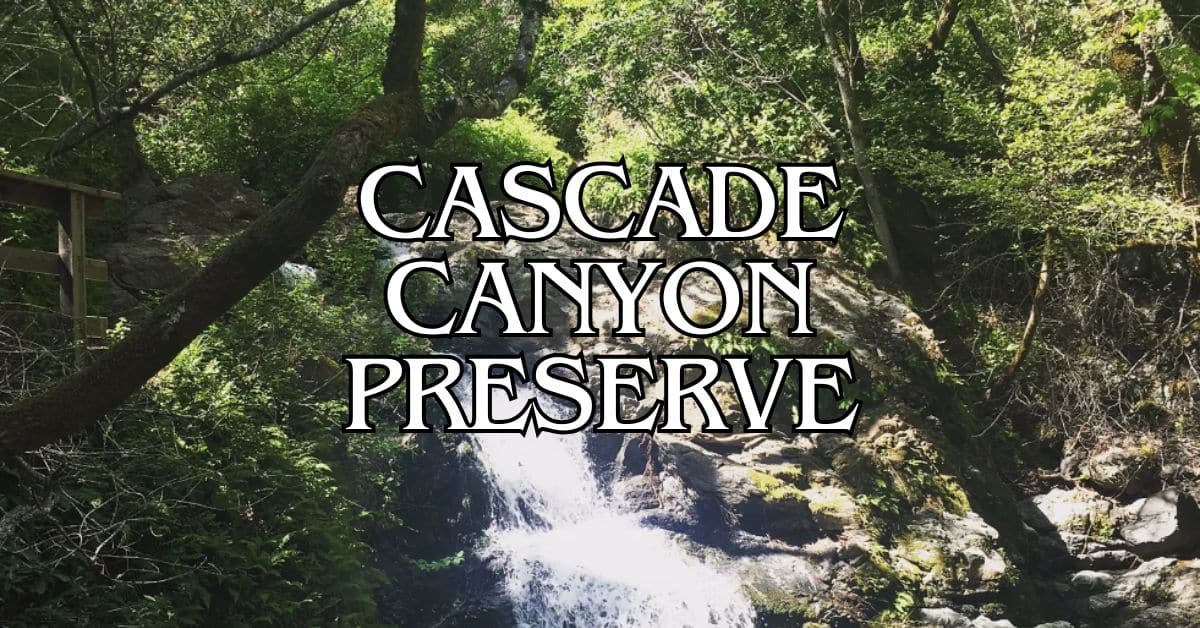
Cascade Canyon Open Space Preserve sprawls across 498 acres near Fairfax, about 20 minutes from Santa Venetia. It’s a bit more rugged, with well-maintained trails winding through oak woodlands and past seasonal waterfalls.
The Cascade Falls Trail (1.5 miles round trip) leads to a waterfall that really gets going after winter rains, usually January through April. Want more of a workout? The High Water Trail climbs higher and gets the legs burning.
You’ll walk under bay laurel, madrone, and big-leaf maple trees. Wildlife includes black-tailed deer, coyotes, and every so often, someone spots a bobcat.
Start your hike from Cascade Drive in Fairfax. Parking at the trailhead is pretty tight, so weekdays are your best bet, especially when the waterfall’s flowing.
Indian Valley Open Space Preserve
Indian Valley Open Space Preserve covers 558 acres near Novato, about 15 minutes north of Santa Venetia. You’ll find more than 9 miles of trails rolling through hills, oak woodlands, and grasslands.
Main trails here:
Luxury stays to cozy cottages await, all with instant booking. Find the best deals!
Browse Marin Stays
- Indian Valley Fire Road (2.5 miles)
- Waterfall Trail (0.5 mile)
- Ad Schwindt Trail (1.3 miles)
The preserve connects to College of Marin’s Indian Valley Campus, where you’ll find restrooms and water. Come spring, wildflowers put on quite a show in the meadows.
Park at the College of Marin Indian Valley Campus lot. Indian Valley tends to stay quieter than Marin’s more famous hiking spots, so it’s a nice spot if you’re after some peace. Dogs are welcome on-leash along the designated trails.
Guidelines and Safety Tips
Santa Venetia Marsh Preserve asks visitors to follow some basic rules for the sake of the ecosystem and everyone’s safety. It’s worth knowing what’s expected so your visit goes smoothly.
Environmental Protection Practices
Stick to the marked trails—it’s easy to wander off, but the sensitive marsh habitat can’t handle much disturbance.
Bring a reusable water bottle; there aren’t any trash cans, so whatever you pack in, you’ve got to pack out.
Don’t collect plants, animals, or anything else from the preserve. Even small changes can throw off the ecological balance.
If you visit at low tide, you’ll have better wildlife viewing opportunities. Just be careful not to bother nesting birds or other critters in their natural habitats.
Weather can be unpredictable and marshlands get muddy after rain. Waterproof boots or shoes with decent grip are a smart idea.
Dealing with Wildlife and Poison Oak
Watch out for poison oak, especially along trail edges. “Leaves of three, let it be” is a good rule. Long pants and sleeves help, even if they’re not your favorite hiking outfit.
If you brush against poison oak, wash up with soap and cold water as soon as you can. Most drugstores sell special cleansers for it.
Give wildlife their space—don’t feed or approach them, even if they seem relaxed. This is their turf, not yours.
Birds are everywhere in the marsh. Binoculars make it easy to watch them without getting too close. Early morning or late afternoon are usually the best times for birdwatching.
Insects show up in force in wetland areas, especially when it’s warm. Natural insect repellent can make your walk a lot more comfortable.
Trail Etiquette and Regulations
Keep your dog on a leash at all times. It’s safer for everyone—wildlife, your pup, and other visitors. And yes, always pick up after your dog.
Most Santa Venetia Marsh trails are multi-use, so expect to see people on foot, bikes, or even horseback. Go slow and give a friendly heads-up if you’re coming up behind someone.
Cyclists, yield to hikers and equestrians. Slow down and let folks know you’re passing (“on your left!” usually works).
The 1.2-mile levee loop is mostly flat, so it’s doable for most people, but watch out—some sections can get a bit narrow.
No smoking or fires—fire risk is real, and the ecosystem doesn’t need the extra stress.
Community Connections
Santa Venetia Marsh Preserve is more than just open space—it’s woven into the fabric of the local community. Neighbors and visitors pitch in on conservation efforts and come together for events that highlight this special place.
Santa Venetia Neighborhood
The Santa Venetia neighborhood feels closely tied to the marsh. Locals show up for volunteer cleanup days to keep the trails and natural areas in good shape.
A lot of homes here back right up to the marsh, so daily wildlife sightings are just part of life. Birdhouses and native plant gardens pop up in plenty of yards—people here seem to take their role as stewards seriously.
Check the community bulletin boards at the preserve entrance for info on conservation projects. The Santa Venetia Neighborhood Association often puts together educational walks led by local naturalists, which are a great way to learn more about the marsh.
Local Marin County Events
Marin County celebrates the marsh and other wild places with a handful of annual events. In April, the Spring Bird Festival features guided walks when migratory birds are on the move.
During summer, you can join community science programs and help track plant and animal species. These “citizen scientist” gigs are perfect for families or anyone curious about conservation.
The Fall Watershed Tour gives you a different look at Santa Venetia and the Gallinas Valley, focusing on why watershed health matters. Local schools often get involved as part of their science classes.
Photography workshops follow the seasons, using the marsh’s changing scenery as their subject. You’ll see both beginners and seasoned photographers out there, especially when the light’s just right.
Dining and Nearby Accommodations
If you’re hungry after your marsh adventure, there are plenty of places to eat and stay nearby. Local restaurants cover a range of tastes, and lodging options go from hotels to campgrounds.
Best Local Restaurants
You won’t have to go far to find good food after a day at Santa Venetia Marsh Preserve. Sakura Sushi in San Rafael is a favorite, with a 4.2 rating—solid choice for Japanese food after a hike.
The Club Restaurant is another go-to, scoring 4.3 with guests. It’s an American spot in San Rafael that’s often busy, so it must be doing something right.
If you’re craving French food, there are a few places serving up classics like lamb shank, frog legs, and French onion soup. It’s a little taste of France, minus the airfare.
Most restaurants are just a short drive from the preserve, so grabbing a bite after your walk is easy.
Camping and Campground Information
Santa Venetia Marsh Preserve doesn’t allow camping, but Marin County has plenty of campgrounds if you want to stretch your outdoor time.
Popular nearby campgrounds:
- Samuel P. Taylor State Park: Wooded sites along Lagunitas Creek
- China Camp State Park: Bayside camping with hiking trails
- Mount Tamalpais State Park: Scenic camping and big views
You’ll need a reservation at most sites, especially in spring and summer. Expect fire rings, picnic tables, and restrooms at most campgrounds.
Prefer a real bed? Hotels in Santa Venetia start at about $93 a night. Embassy Suites by Hilton San Francisco Airport Waterfront and Silverado get good reviews and are nearby.
Expanding Your Bay Area Adventure
Santa Venetia Marsh is just one of the Bay Area’s natural spaces. If you feel like exploring further, you’ll find a ton of different ecosystems and landscapes all around the region.
Exploring the East Bay and South Bay
The East Bay has its own wild corners. Tilden Regional Park in Berkeley covers 2,079 acres of forest and meadows, and the botanical garden there is worth a visit for anyone into native California plants.
Redwood Regional Park in Oakland is great for shady hikes under massive trees—hard to believe Oakland was once covered in these giants. Birders might want to check out the Hayward Shoreline, which has wetlands like Santa Venetia but with a different cast of birds.
Down in the South Bay, Don Edwards San Francisco Bay National Wildlife Refuge gives you another take on bay marshlands. It’s huge—30,000 acres—and draws all kinds of migratory birds.
Coyote Hills Regional Park in Fremont mixes marsh views with a bit of local history. The Tuibun Ohlone village site and museum are definitely worth a stop if you’re curious about the area’s roots.
Travel Tips for North Bay Nature Lovers
Pack some layers for your North Bay adventures. Mornings can be foggy, but by afternoon, it usually warms up—especially in summer. A light jacket, a hat, and sunscreen? Absolutely.
If you want to catch the marshlands at their most lively, try going early in the morning or later in the afternoon. That’s when the birds really show up. Binoculars make a big difference, and you won’t bother the wildlife.
Parking can be tricky at a lot of preserves. It’s smart to get there early on weekends, or just skip the headache and hop on Marin Transit—they’ve got routes to several trailheads.
Most trails don’t have reliable water sources, so definitely bring your own. Reusable bottles are best; nobody wants more plastic hanging around these beautiful spots.
Weekdays tend to be quieter, and honestly, spring and fall feel just right. You might even catch some amazing bird migrations if your timing’s lucky.
Find available hotels and vacation homes instantly. No fees, best rates guaranteed!
Check Availability Now
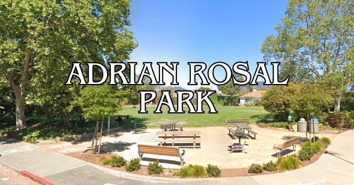
Adrian Rosal Park Travel Guide – Accessibility, Amenities, Activities, and More!
Alto Bowl Preserve Travel Guide – Accessibility, Amenities, Activities, and More!
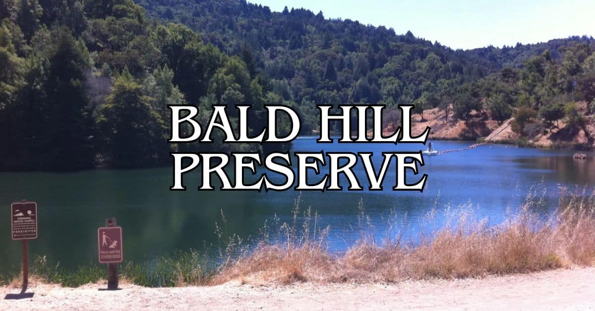
Bald Hill Preserve Travel Guide – Accessibility, Amenities, Activities, and More!
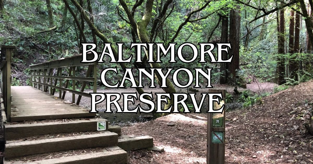
Baltimore Canyon Preserve Travel Guide – Accessibility, Amenities, Activities, and More!
Bayside Park Travel Guide – Accessibility, Amenities, Activities, and More!
Blithedale Summit Preserve Travel Guide – Accessibility, Amenities, Activities, and More!
Bothin Marsh Preserve Travel Guide – Accessibility, Amenities, Activities, and More!
Buck’s Landing Travel Guide – Accessibility, Amenities, Activities, and More!
Camino Alto Preserve Travel Guide – Accessibility, Amenities, Activities, and More!
Candy’s Park Travel Guide – Accessibility, Amenities, Activities, and More!
Cascade Canyon Preserve Travel Guide – Accessibility, Amenities, Activities, and More!
Charles F. McGlashan Pathway Travel Guide – Accessibility, Amenities, Activities, and More!
China Camp State Park Travel Guide – Accessibility, Amenities, Activities, and More!
Corte Madera Pathway Travel Guide – Accessibility, Amenities, Activities, and More!
Hal Brown Park Travel Guide – Accessibility, Amenities, Activities, and More!
Horse Hill Preserve Travel Guide – Accessibility, Amenities, Activities, and More!
King Mountain Preserve Travel Guide – Accessibility, Amenities, Activities, and More!
Lagoon Park Travel Guide – Accessibility, Amenities, Activities, and More!
Loma Alta Preserve Travel Guide – Accessibility, Amenities, Activities, and More!
Lucas Valley Park Travel Guide – Accessibility, Amenities, Activities, and More!
Lucas Valley Preserve Travel Guide – Accessibility, Amenities, Activities, and More!
McInnis Park Travel Guide – Accessibility, Amenities, Activities, and More!
McNears Beach Park Travel Guide – Accessibility, Amenities, Activities, and More!
Mill Valley-Sausalito Pathway Travel Guide – Accessibility, Amenities, Activities, and More!
Mount Tamalpais State Park Travel Guide – Accessibility, Amenities, Activities, and More!
Muir Woods National Monument Travel Guide – Accessibility, Amenities, Activities, and More!
Pueblo Park Travel Guide – Accessibility, Amenities, Activities, and More!
Ring Mountain Preserve Travel Guide – Accessibility, Amenities, Activities, and More!
San Pedro Mountain Preserve Travel Guide – Accessibility, Amenities, Activities, and More!
Santa Venetia Marsh Preserve Travel Guide – Accessibility, Amenities, Activities, and More!
Tennessee Valley Travel Guide – Accessibility, Amenities, Activities, and More!
Terra Linda/Sleepy Hollow Preserve Travel Guide – Accessibility, Amenities, Activities, and More!
White Hill Preserve Travel Guide – Accessibility, Amenities, Activities, and More!


