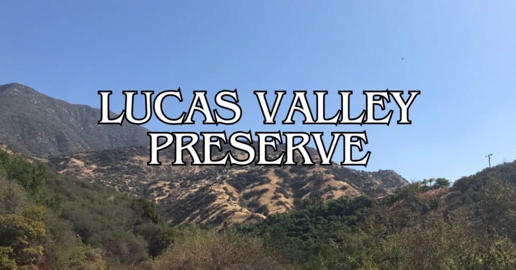
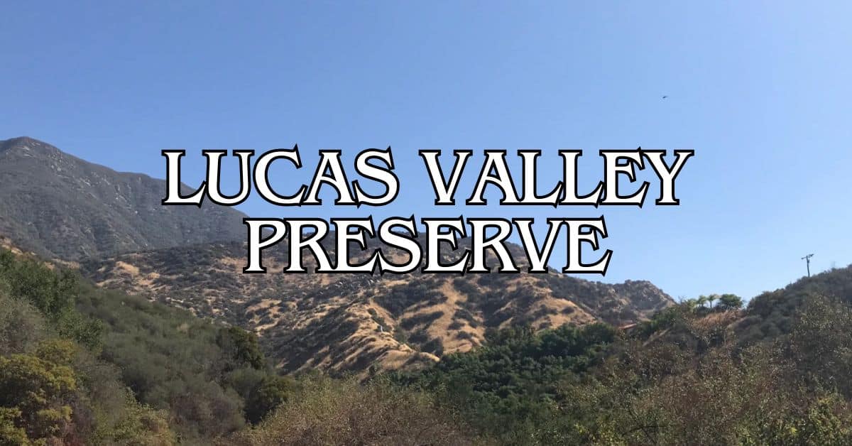
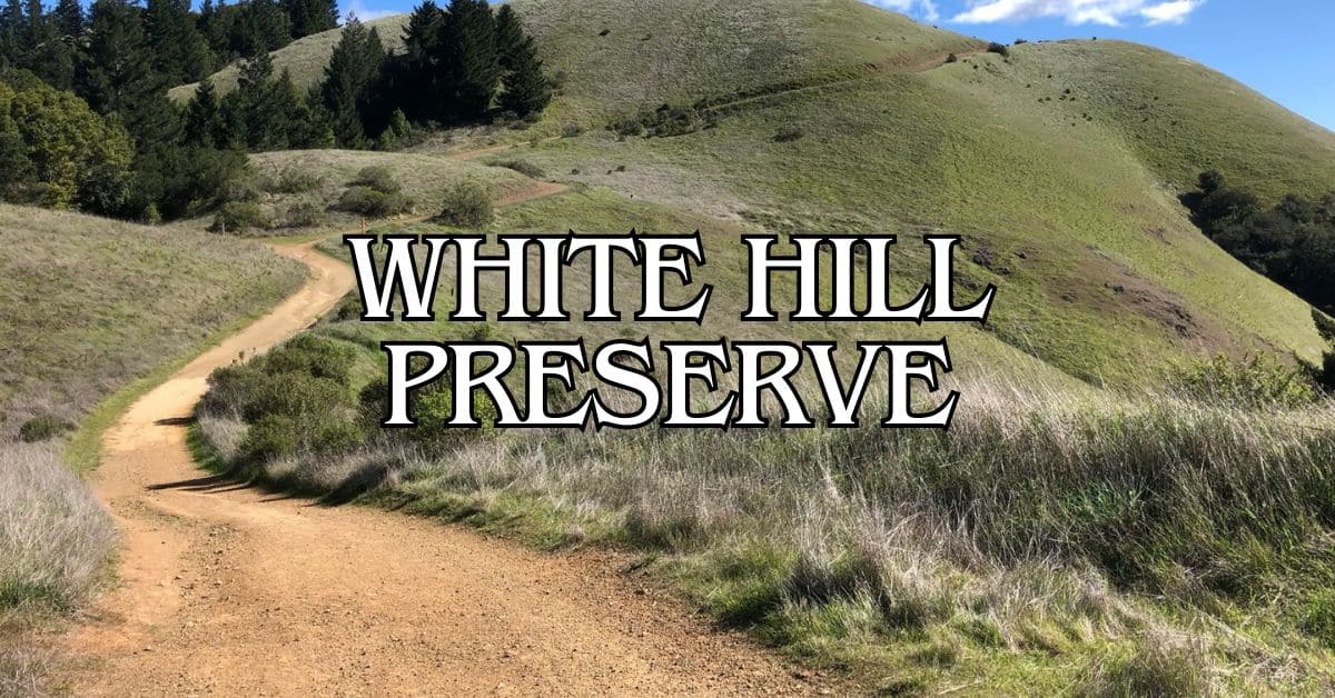
Tucked away in Marin County, Lucas Valley Preserve sprawls across 1,271 acres of natural beauty, just a quick hop from San Francisco. The preserve got its name from John Lucas, an early settler—yeah, not George Lucas, though the filmmaker did donate 800 acres to help create this wild, scenic spot. If you’re up for a challenge, the Big Rock Ridge Trail rewards you with views from Marin County’s second-highest peak.
You’ll find a tangle of fire roads and hiking paths weaving through grasslands and woods. The Bay Area Ridge Trail section here isn’t for the faint of heart; most folks need about three hours to finish the 6.4-mile point-to-point stretch. The landscape keeps changing—open meadows, oak groves, and those classic rolling hills Marin’s known for.
Discover hand-picked hotels and vacation homes tailored for every traveler. Skip booking fees and secure your dream stay today with real-time availability!
Browse Accommodations Now
Don’t forget to bring plenty of water and sturdy shoes if you’re tackling the 1,800-foot climb up Big Rock Ridge. It’s a workout, but the sweeping Bay Area views are worth every step. The preserve links up with Loma Verde and Pacheco Valle Open Space, so you can keep hiking if you’re not ready to call it a day.
Overview of Lucas Valley Preserve
Lucas Valley Preserve covers a big chunk of Marin County’s prettiest landscapes—grasslands, oak woodlands, and some pretty serious hiking terrain.
Location and Accessibility
You’ll find Lucas Valley Preserve about 30 minutes north of San Francisco, just past the Golden Gate Bridge. Lucas Valley Road is the main drag running east-west; most trailheads branch off from there.
Despite the famous name, the area’s named after John Lucas, not George. If you’re coming up from the city, expect a 30-40 minute drive, traffic depending.
Trailheads dot Lucas Valley Road, but parking is tight—weekends get busy, so showing up early is your best bet.
History of Lucas Valley Preserve
George Lucas did donate 800 acres here, helping to form the 1,271-acre preserve, but the “Lucas” in Lucas Valley goes back to John Lucas, one of the first settlers. Over time, private land became public, and the preserve now links up with Marin’s larger network of protected spaces, including parts of the Bay Area Ridge Trail.
Big Rock Ridge, topping out at 1,800 feet, has been a local landmark for ages. Now, it’s a magnet for hikers wanting those panoramic views.
Top Hiking Trails and Scenic Routes
Lucas Valley Preserve’s trails wind through oak woods and open meadows, offering some of Marin’s best scenery.
Popular Hiking Trails
Big Rock Trail is the star of the show—it’s part of the Bay Area Ridge Trail and starts right at the crest of Lucas Valley Road. The climb takes you up to Big Rock Ridge, Marin’s second-highest point.
At the top, you get those “wow” views that make the effort worthwhile. Most locals say it’s one of the best vista points around.
There’s also a connector trail to Indian Valley Open Space, which has a solid 4.6 stars on Yelp. The terrain and plants shift as you go, so it never gets boring.
Short on time? Smaller loop trails let you squeeze in a quick hike.
Trail Difficulty and Distance
Big Rock Trail is a steady climb—about 3 miles to the top and 6 miles round trip, with 1,000 feet of elevation gain. Your legs will feel it.
The trail’s in good shape, but some sections get steep. Good shoes and plenty of water are a must, especially if it’s hot out.
If you’re after something easier, the lower trails have gentler slopes and shorter distances—great for families or anyone who just wants a mellow walk.
Spring brings wildflowers and green hillsides. By summer, the trails heat up fast and shade gets scarce.
Trail Maps and Navigation
Grab a trail map at the main trailheads or check Marin County Parks’ website. Most trails have signs at the main junctions, so you’re not likely to get lost.
Big Rock Trailhead has a big info board and detailed map. Cell service can drop out, so download or screenshot your map before heading out.
Apps like AllTrails cover Lucas Valley’s trails and show GPS routes. User reviews help keep you up to date on trail conditions.
Trail markers use colors—blue for main routes, yellow for connectors—so it’s easy to figure out where you are.
Connecting Trails to Regional Parks
Lucas Valley Preserve links up with other Marin open spaces. Ridge trails connect to Terra Linda-Sleepy Hollow Divide, so you can go way beyond the preserve if you’re feeling ambitious.
Some hikers string together routes to hit Loma Alta Preserve or even Sorich Park, which gets good reviews online. If you’re planning a big day, arrange rides at different trailheads so you don’t have to double back.
The full ridge system lets experienced hikers cover a huge chunk of Marin in one go.
Wildlife and Natural Features
Lucas Valley Preserve packs in diverse ecosystems and a wild mix of plants and animals. If you’re into nature, you’ll have plenty to look for.
Oak Woodlands and Flora
The preserve’s oak woodlands are thick with coast live oaks, valley oaks, and bay laurels. They form a shady canopy and support all sorts of life below.
Spring turns meadows into a burst of wildflowers—California poppies, lupines, goldfields, the works. Bunchgrasses ripple in the wind, and poison oak lurks in the shadows (remember: leaves of three, let it be).
The preserve’s little microclimates mean you’ll see everything from manzanita and toyon shrubs (great for birds) to ferns and mosses near shady creeks.
Wildlife Observation
Deer are everywhere, especially at dawn and dusk. Coyotes hunt through the grasslands, and if you get lucky, you might even spot a bobcat. Binoculars help you catch wildlife without getting too close.
Gray squirrels, chipmunks, and brush rabbits are easy to spot. For better odds:
- Go early or late in the day
- Walk quietly
- Wear earth tones
- Try to stay downwind
- Bring a decent zoom lens if you want photos
Bird Watching Hotspots
If you love birds, you’ll have a field day—over 100 species show up here. Some trails are bird watching hot spots.
Meadow edges near Big Rock Ridge Trail are prime for raptors: red-tailed hawks, Cooper’s hawks, and sometimes even a golden eagle. Their calls echo across the hills.
The woods are full of woodpeckers, especially acorn woodpeckers with their clownish red caps. Western bluebirds, oak titmice, and towhees hang around all year.
Spring migration brings a rush of warblers, vireos, and flycatchers. A field guide helps, and trailhead bulletin boards sometimes list recent sightings.
Wildlife Pond and Wetlands
The wildlife pond is a little gem tucked into the preserve. It’s a haven for amphibians and water-loving critters you won’t see elsewhere on the trails.
In spring, Pacific chorus frogs get loud—listen for their chorus near the water. California newts and western toads show up too.
Dragonflies and damselflies zip around the pond, flashing iridescent colors as they hunt.
Songbirds flock to the pond for a drink or a quick bath. If you’re patient, you can snap some great wildlife shots here.
Visitor Experience and Recreation
Lucas Valley Preserve offers a bit of everything—whether you’re out for a stroll, a tough hike, or just a picnic with a view.
Find the perfect hotel or vacation rental. Instant booking, no fees!
View Top Stays
Picnic Areas and Rest Stops
You’ll find several picnic areas scattered along the trails. They’re simple—tables, trash bins, and a place to kick back after a hike.
Big Rock Ridge has rest stops with jaw-dropping views, perfect for photos or just catching your breath.
Families usually stick to the picnic spots near trailheads, which are easier to reach and less busy on weekdays.
Some areas have shade structures, others rely on the trees. Water’s not always available, so pack your own.
Best Times to Visit
Spring (March-May) is hands-down the prettiest—wildflowers everywhere and pleasant temps around 65-75°F. Trails dry out after winter, so you don’t have to slog through mud.
Early mornings (7-10am) are great for wildlife and beating the crowds, especially on weekdays.
Fall brings crisp air and changing leaves in some areas. Winter’s misty mornings and green hills are beautiful, but you’ll need to watch for muddy stretches.
Midday in summer? Not ideal—temps can hit 85°F or more, and the sun is relentless on the ridges. Weekends, especially afternoons, get crowded.
Seasonal Activities
Spring: Trail running on Big Rock Trail is a blast—firm ground, mild weather, and wildflowers everywhere. April is peak bloom, and sometimes rangers lead guided walks.
Summer: Hit the trails early before it heats up. Higher elevations catch a breeze, so the ridge is cooler than the valleys.
Fall: Photographers love the dramatic fog and golden light. Birdwatching ramps up as migrants pass through.
Winter: After good rains, seasonal waterfalls pop up in spots. Waterproof boots and layers are a must—weather changes fast.
Kite flying works well in the meadows when the wind’s up, especially in spring and fall. If you’re into history, the old Miwok rock carvings are worth a look—best seen when the light’s low in the morning or evening.
Neighboring Open Space Preserves
Lucas Valley Preserve links up with several other wild spots in Marin County. If you’re in the mood to wander, these nearby preserves open up even more trails and scenery to check out.
Gary Giacomini Open Space Preserve
Gary Giacomini Open Space Preserve hugs Lucas Valley Preserve on the west side. Spanning 1,476 acres, this rugged landscape shelters some of Marin’s largest stretches of native woodland.
You’ll walk beneath old-growth forests packed with Douglas firs and bay trees, and the trail options don’t disappoint—some are mellow, others will test your knees. The San Geronimo Ridge Trail, for example, climbs up to big valley views and hooks into the Bay Area Ridge Trail.
Wildlife? Oh, you’ll see plenty. Black-tailed deer, coyotes, and all sorts of birds make regular appearances. Springtime paints the place with wildflowers—poppies, lupines, and more.
To get in, try parking on Conifer Drive in San Geronimo or find a spot along Sir Francis Drake Boulevard.
Indian Valley Open Space Preserve
East of Lucas Valley, Indian Valley Open Space Preserve covers 558 acres of oak woods and grassy meadows. It’s a favorite for hikers and mountain bikers alike.
The main trail traces Indian Valley Creek, mostly flat and shaded—easygoing for families or anyone wanting a relaxed stroll. If you want more of a workout, branch off onto trails that climb the ridges for wide-open views of San Pablo Bay. The 5-mile Indian Valley Fire Road loop is a local staple.
You’ll find:
- Picnic tables by the creek
- Mountain biking routes for all skill levels
- Wildflowers in the spring
- Birdwatching spots galore
Access is easy from the College of Marin Indian Valley Campus or from the end of Indian Valley Road in Novato.
Ignacio Valley Open Space Preserve
Northeast of Lucas Valley sits Ignacio Valley Open Space Preserve, a quieter 538-acre patch of hills and grassland. Not many folks wander here, so it’s peaceful—almost feels like you’ve got the place to yourself.
The main trail follows an old ranch road through rolling grass and scattered oaks. Climb up a bit and you’ll spot Novato and the marshes near San Pablo Bay.
Wildlife’s not shy here either. You might catch sight of:
- Red-tailed hawks circling above
- Ground squirrels darting around
- Rabbits hiding in the brush
- Coyotes, if you’re up early or out near dusk
Parking is pretty limited—just a few roadside pullouts near trailheads on Ignacio Boulevard.
Indian Tree Open Space Preserve
Indian Tree Open Space Preserve sits northwest of Lucas Valley, covering 242 acres. It’s well-known for its impressive redwoods and those deep, fern-filled canyons.
The main trail climbs through shady woods up to a ridge with sweeping views. On a clear day, you can see Mount Tamalpais, San Francisco Bay, and even a sliver of the Pacific. The Big Trees Trail winds past some of the oldest redwoods around.
Ecosystems here are all over the map—lush ferns in the damp spots, tough manzanita on the sunny hillsides.
There’s parking at the trailhead on Indian Tree Drive in Novato. Don’t forget your water—there aren’t any facilities once you’re in.
Nearby Attractions in Marin County
Lucas Valley Preserve makes a solid jumping-off point for exploring more of Marin’s natural wonders. You’re just a short drive from ancient redwoods, dramatic coastlines, and some surprisingly good wildlife watching.
Muir Woods and The Redwood Experience
Muir Woods National Monument is only about 20 minutes away and, honestly, it’s one of those places you have to see at least once. Towering redwoods—some over 250 feet tall, some more than a thousand years old—line the main paved trail along Redwood Creek. The easy one-mile loop is accessible for nearly everyone.
If you want to get above the crowds, try the Hillside Trail for a different perspective, weaving through the mid-level canopy.
Best advice? Get there early (before 9 AM) or much later in the day to dodge the biggest crowds. Parking reservations are a must—don’t be surprised if they’re booked weeks ahead during busy times.
Cathedral Grove is the spot that really makes you stop and stare. Take a minute to look up and soak in the atmosphere. You don’t get places like this every day.
Point Reyes National Seashore
Point Reyes sprawls across 71,000 acres of protected coastline about half an hour northwest of Lucas Valley. It’s a wild mix: windswept beaches, forested ridges, open grassland.
The historic Point Reyes Lighthouse clings to a rocky point with killer ocean views. The trail out is half a mile, passing wildflowers and an old Coast Guard station. Brace yourself for the 308 steps down (and back up) to the lighthouse.
Drakes Beach is a solid spot for a picnic, backed by those dramatic white cliffs. In winter, you might spot gray whales passing by.
Hiking options are endless—from easy coastal strolls to tough climbs. The Bear Valley Visitor Center is worth a stop for maps and the latest trail info.
Tomales Point and Elephant Seal Overlook
Up at the northern tip of Point Reyes, Tomales Point is a go-to for wildlife. The Tule Elk Reserve keeps a healthy herd of these native elk—hard to believe they were almost wiped out.
Luxury stays to cozy cottages await, all with instant booking. Find the best deals!
Browse Marin Stays
The Tomales Point Trail runs 4.5 miles out (9 miles round trip) along a narrow peninsula, ocean on both sides. Spring brings wildflowers, fall is all about the elk rut when the bulls put on a show.
At Elephant Seal Overlook near Chimney Rock, you can watch northern elephant seals during breeding season (December through March). The males can weigh up to 5,000 pounds and put on quite a spectacle. The viewing platforms let you watch without getting too close.
Bring binoculars if you’ve got them—it’s worth it.
Hidden Gems and Lesser-Known Areas
Lucas Valley Preserve gets plenty of love, but Marin County hides a few lesser-known spots that are just as stunning—without the crowds. If you’re after some peace and quiet, these places might surprise you.
Buck Gulch Falls
Buck Gulch Falls is tucked into a quiet corner of Marin. This seasonal waterfall really puts on a show after winter and spring rains.
It’s a moderate 2.5-mile hike through oak woods and coastal scrub. The trail gets a bit rough in spots, so decent shoes are a must.
What’s great here? The solitude. Unlike Marin’s more famous falls, you could have Buck Gulch all to yourself, especially on a weekday. The little grotto around the falls echoes with the sound of water—kind of magical, honestly.
When to go:
- December through April (best flow)
- Early morning for the nicest light
Cascade Canyon Open Space Preserve
Near Fairfax, this 498-acre spot protects the upper Corte Madera Creek watershed. Cascade Canyon feels wild but isn’t hard to reach.
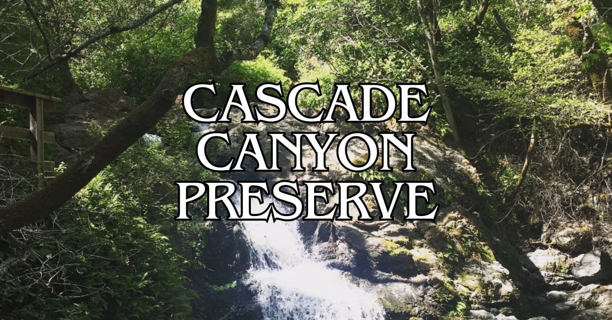
The main attraction is Cascade Falls, a 20-foot waterfall that really comes to life after winter storms. The trail to the falls is under a mile and doable for most folks.
Here you’ll find:
- Coast redwoods and bay laurels
- Sword ferns everywhere
- Spring wildflowers
Birders should bring binoculars—woodpeckers, hawks, and songbirds are regulars. If you want quiet, aim for a mid-week visit.
Baltimore Canyon Open Space Preserve
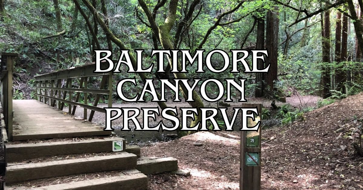
Baltimore Canyon, near Larkspur, covers 193 acres and shelters one of the county’s best old-growth redwood groves. Dawn Falls Trail is the main way through this lush canyon.
The canyon’s damp, cool microclimate grows some pretty unique plants. Ferns cover the slopes, moss hangs from tree limbs—it almost feels prehistoric.
Dawn Falls is the highlight, tumbling 25 feet (best after rain). The loop is about 3 miles with some ups and downs.
Early mornings are great for photos, when sunlight filters through the redwoods. Parking isn’t plentiful, so come early if it’s a weekend.
Guides for Special Interests
Lucas Valley Preserve isn’t just for hikers. It’s a sweet spot for photographers, birders, and families—there’s something for everyone, honestly.
Photography Tips and Best Vantage Points
Photographers have plenty to work with here, no matter the season. Big Rock Ridge, topping out at 1,800 feet, gives you sweeping panoramic views of Marin—sunrise and sunset can be incredible.
For the best light, aim for early morning or late afternoon when shadows stretch across the grass. Oak woodlands make great natural frames, especially on the lower trails.
Bring a wide-angle lens for landscapes, a zoom for wildlife. Spring wildflowers are a favorite subject, and winter fog after storms can be downright moody.
Favorite photo spots:
- Big Rock Ridge summit (epic views)
- Grassland trails (flowers, wildlife)
- Oak groves (sun filtering through leaves)
- Valley overlooks (morning fog in cooler months)
Birdwatching and Nature Walks
Lucas Valley Preserve draws in a surprising variety of birds, thanks to the mix of open grass and woods. You’ll see different species throughout the year.
Birds to watch for:
| Season | Notable Species |
|---|---|
| Spring | Western Bluebirds, Warblers, Turkey Vultures |
| Summer | Red-tailed Hawks, White-crowned Sparrows |
| Fall | Migrating songbirds, Golden Eagles |
| Winter | Northern Harriers, American Kestrels |
Early mornings are best—birds are active and the trails are quiet. Binoculars and a field guide help a lot.
Edges where woods meet grassland are especially good for spotting birds. Move slowly, wear muted colors, and you’ll see more.
Family-Friendly Activities
Families will find several trails that are gentle enough for kids. The lower trails are easier and there’s always something to discover.
Try a nature scavenger hunt—look for animal tracks, cool rocks, native plants. Every season brings something new, from wildflowers to colorful leaves.
Bring water and snacks; no facilities here. Good family trails:
- Lower Lucas Valley Trail: Easy, lots of shade
- Valley Loop: Short, sometimes with creek access
- Oak Woodland Path: Wildlife spotting without too much hiking
Magnifying glasses make small discoveries even more fun. Mornings are cooler and quieter, especially in summer.
Practical Information and Resources
A little planning goes a long way before you head out to Lucas Valley Preserve. Here’s what you’ll want to know about getting there and what to expect.
How to Get There
You’ll find Lucas Valley Preserve just off Lucas Valley Road in Marin County. From Highway 101, take the Lucas Valley Road exit and drive west about 5 or 6 miles. The trailhead is on the north side.
If you’re coming from San Rafael, just keep heading west on Lucas Valley Road past the neighborhoods. The preserve is beyond the Lucas Valley housing area (don’t mix up the two).
Public transit is pretty limited out here. Marin Transit has a bus along Lucas Valley Road, but it’s not frequent. Check schedules before you count on the bus.
Parking and Accessibility
You’ll find parking at Lucas Valley Preserve in a small, unpaved lot right by the trailhead on Lucas Valley Road. Honestly, that lot fills up fast on weekends and sunny days—so don’t count on always snagging a spot.
If you strike out there, try the Loma Verde Preserve access point on Creekside Drive. It’s not far, and you can hop onto connecting trails that lead straight into Lucas Valley Preserve.
Here are the main trails:
- Luiz Fire Road (starts out paved)
- Big Rock Trail
- Lucas Valley Trail
Most of these trails aren’t exactly a walk in the park—expect moderate difficulty and some real elevation. Big Rock Ridge tops out at 1,800 feet, so be ready for a workout. Accessibility is pretty limited if you’ve got mobility challenges; there are steep sections on just about every route.
Official Website and Visitor Information
Marin County Parks handles all the official info for Lucas Valley Preserve. Check out their website at www.marincountyparks.org for the latest on trail conditions, closures, and rules.
The preserve’s open sunrise to sunset, every day. No entrance fees—just show up and wander.
You can grab trail maps online that connect Lucas Valley with Loma Verde and Pacheco Valle preserves. These maps come in handy; the trail network gets confusing fast.
Got questions? Call Marin County Parks at 415-473-6387. Rangers swing by now and then, and they’re usually happy to help out.
Exploring Beyond Lucas Valley Preserve
Lucas Valley Preserve is pretty great, but Marin County’s packed with other outdoor spots if you’re up for a little exploring. The area’s got everything—rugged islands, wine country, and more open space than you’d think.
Angel Island and Fort Baker
Angel Island State Park sits right in the middle of San Francisco Bay. You’ll need to catch a ferry from Tiburon, but once you’re there, the 360-degree views are worth it. There’s a bunch of hiking and biking trails, plus old historical sites like the immigration station where thousands passed through.
Over by the Golden Gate Bridge, Fort Baker mixes military history with some beautiful scenery. The old Army post now hosts the Cavallo Point Lodge and the Bay Area Discovery Museum. You can stroll along the waterfront for those classic bridge photos or wander into the Marin Headlands for more trails.
Both spots make for awesome day trips from Lucas Valley. Pack water, snacks, and a jacket—the weather out on the bay can be unpredictable.
Wine Country Day Trips
Sonoma and Napa Valley are just a quick 30-45 minute drive north. Sonoma’s vibe is more laid-back, with family-owned wineries and tastings that don’t break the bank.
A few favorites:
- Benziger Family Winery – Famous for their biodynamic vineyards
- Imagery Estate – Cool artist-designed labels and unusual wines
- Ram’s Gate – Striking architecture and top-notch food pairings
If you’re hungry, Sonoma Plaza has some great restaurants and picnic spots. Heads up: most wineries want reservations these days, so book ahead.
Weekdays are usually quieter if you want to avoid crowds. Tasting rooms typically open around 10am and start winding down by 4:30pm.
Bothin Marsh and Camino Alto Open Space Preserves
Bothin Marsh Open Space Preserve in Mill Valley has flat, accessible trails that are great for bird watching. The 1.5-mile Mill Valley-Sausalito Path winds through wetlands—egrets, herons, and other shorebirds hang out here if you’re lucky.
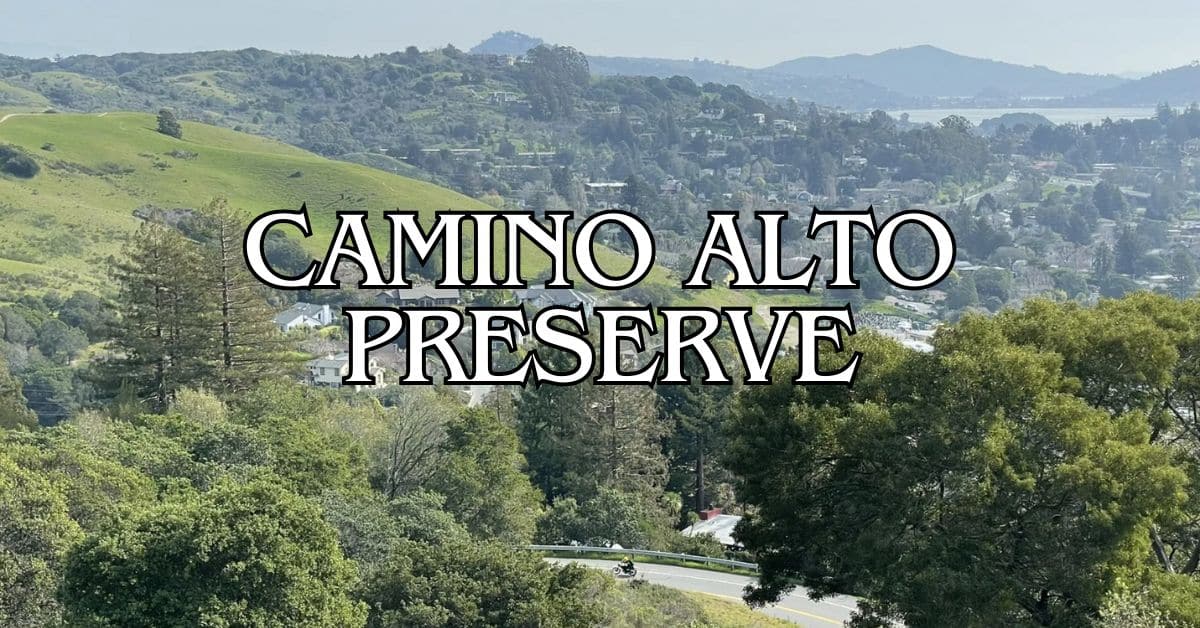
Not far away, Camino Alto Open Space Preserve brings a bit more challenging terrain with oak woodlands and sweeping bay views. The main fire road just keeps climbing, and eventually, you get those classic vistas of Mount Tamalpais and San Francisco. Worth the effort? Most folks would say so.
Alto Bowl Open Space Preserve links up with these spots, forming a network of trails. There’s a horse stable at the Alto Bowl entrance—kind of cool that Marin keeps some of its equestrian roots alive.
Honestly, these preserves are ideal for a half-day wander, especially when summer hits and places like Lucas Valley start feeling like an oven. Sometimes you just want a shady, breezy trail, right?
Find available hotels and vacation homes instantly. No fees, best rates guaranteed!
Check Availability Now
Adrian Rosal Park Travel Guide – Accessibility, Amenities, Activities, and More!
Alto Bowl Preserve Travel Guide – Accessibility, Amenities, Activities, and More!
Bald Hill Preserve Travel Guide – Accessibility, Amenities, Activities, and More!
Baltimore Canyon Preserve Travel Guide – Accessibility, Amenities, Activities, and More!
Bayside Park Travel Guide – Accessibility, Amenities, Activities, and More!
Blithedale Summit Preserve Travel Guide – Accessibility, Amenities, Activities, and More!
Bothin Marsh Preserve Travel Guide – Accessibility, Amenities, Activities, and More!
Buck’s Landing Travel Guide – Accessibility, Amenities, Activities, and More!
Camino Alto Preserve Travel Guide – Accessibility, Amenities, Activities, and More!
Candy’s Park Travel Guide – Accessibility, Amenities, Activities, and More!
Cascade Canyon Preserve Travel Guide – Accessibility, Amenities, Activities, and More!
Charles F. McGlashan Pathway Travel Guide – Accessibility, Amenities, Activities, and More!
China Camp State Park Travel Guide – Accessibility, Amenities, Activities, and More!
Corte Madera Pathway Travel Guide – Accessibility, Amenities, Activities, and More!
Hal Brown Park Travel Guide – Accessibility, Amenities, Activities, and More!
Horse Hill Preserve Travel Guide – Accessibility, Amenities, Activities, and More!
King Mountain Preserve Travel Guide – Accessibility, Amenities, Activities, and More!
Lagoon Park Travel Guide – Accessibility, Amenities, Activities, and More!
Loma Alta Preserve Travel Guide – Accessibility, Amenities, Activities, and More!
Lucas Valley Park Travel Guide – Accessibility, Amenities, Activities, and More!
Lucas Valley Preserve Travel Guide – Accessibility, Amenities, Activities, and More!
McInnis Park Travel Guide – Accessibility, Amenities, Activities, and More!
McNears Beach Park Travel Guide – Accessibility, Amenities, Activities, and More!
Mill Valley-Sausalito Pathway Travel Guide – Accessibility, Amenities, Activities, and More!
Mount Tamalpais State Park Travel Guide – Accessibility, Amenities, Activities, and More!
Muir Woods National Monument Travel Guide – Accessibility, Amenities, Activities, and More!
Pueblo Park Travel Guide – Accessibility, Amenities, Activities, and More!
Ring Mountain Preserve Travel Guide – Accessibility, Amenities, Activities, and More!
San Pedro Mountain Preserve Travel Guide – Accessibility, Amenities, Activities, and More!
Santa Venetia Marsh Preserve Travel Guide – Accessibility, Amenities, Activities, and More!
Tennessee Valley Travel Guide – Accessibility, Amenities, Activities, and More!
Terra Linda/Sleepy Hollow Preserve Travel Guide – Accessibility, Amenities, Activities, and More!
White Hill Preserve Travel Guide – Accessibility, Amenities, Activities, and More!


